Rate this trail

PR-CV 390 RUTA PER LES PENYES ALBES

Promoter: Ayuntamiento de Montichelvo

Certification status: No quality controls

0 reviews

There is no proof of quality control on the record of this trail in the last years. For this reason, it is unknown whether it complies with the optimal signage and maintenance conditions for hikers to take the trail following these signs exclusively.
Hikers have to take into consideration that the information about the signage and maintenance of the trails for which the promoter entity is responsible might not be up to date anymore, since it refers to its state on the date of its approval. Furthermore, mountain sports entail risks associated with the activity itself and the environment where they take place, for which any person is fully liable. For this reason, hikes need to be planned properly and adequate training, equipment and sensible use of the trails are required.

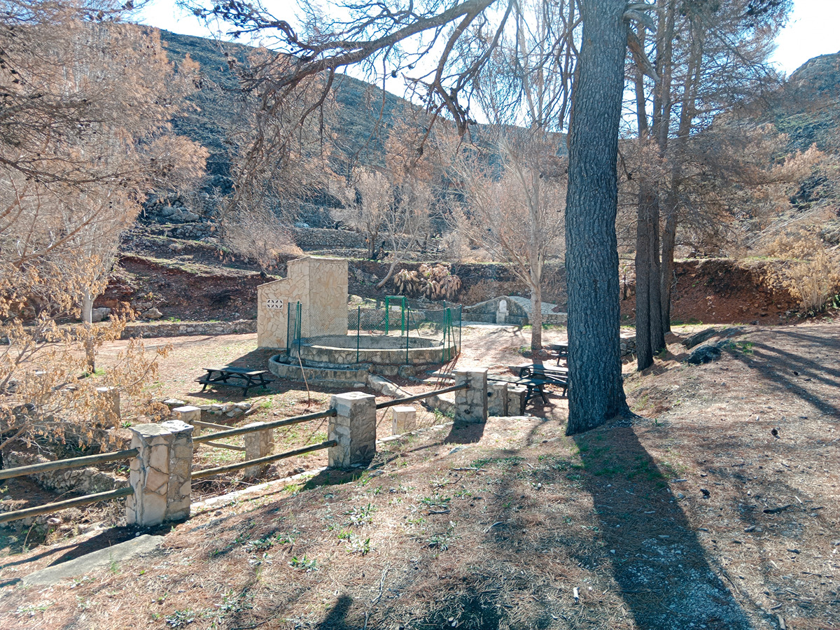
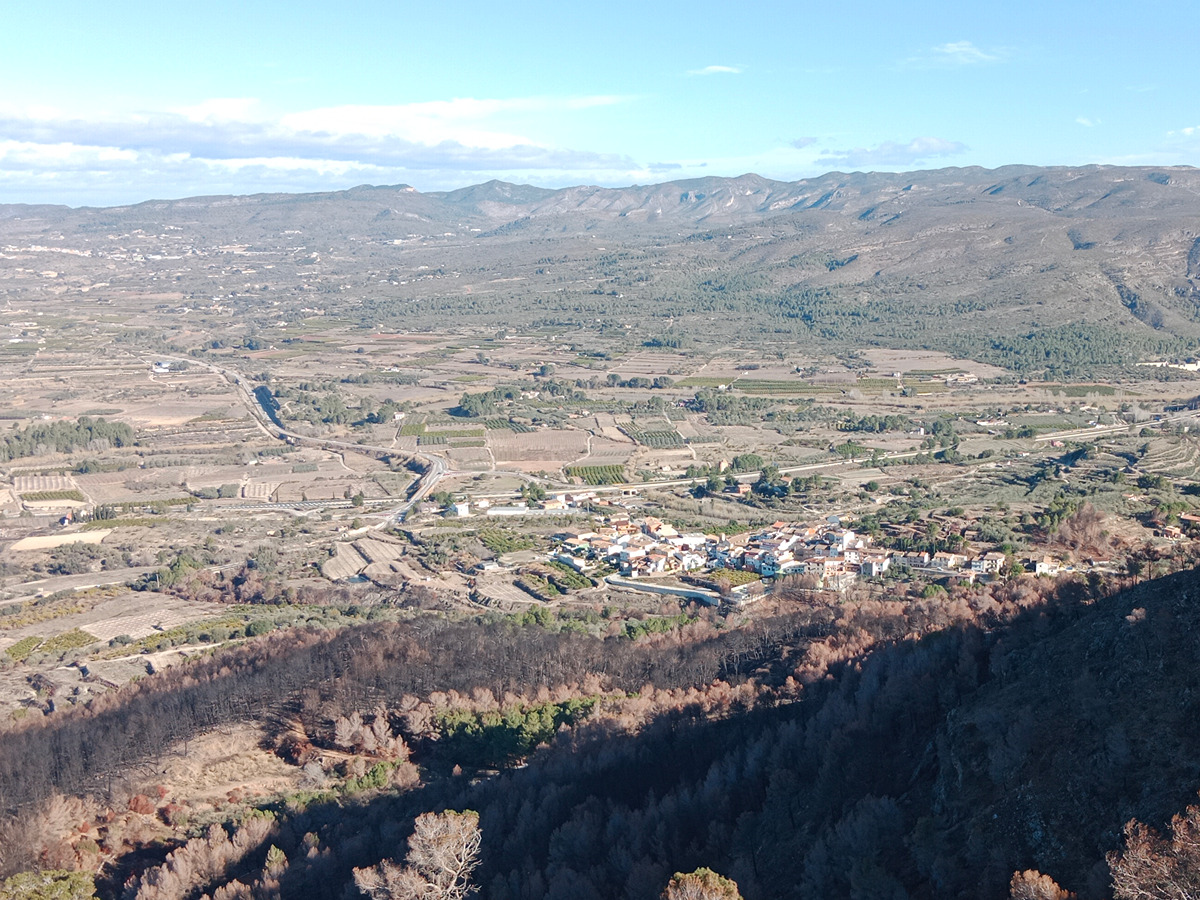
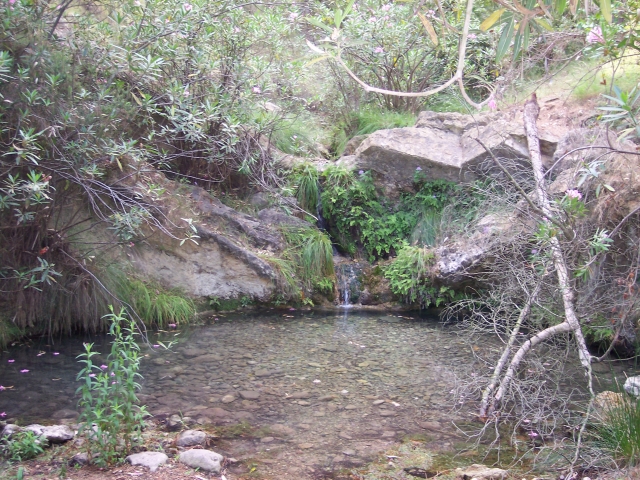
This route runs through the Local Natural Area of Interest of Penyes Albes, a haven of well-preserved nature with a high botanical and scenic value between the municipalities of Montitxelvo and Terrateig.

Trail:
Loop with some overlapping out and back sections
Technical data:
Length:
9,10 km
Estimated walking time:
02:55:00
Elevation gain:
415 m
Elevation loss:
415 m
MIDE ratings:
Level of natural risks:
1
Navigation on the trail:
2
Hiking difficulty:
2
Fitness level needed:
2

More information on Montaña Segura

Difficulty rating according to FEDME:
Unknown
Starting point:
Useful information:
Date of certification:
15-03-2011
Date of the act of registration in the Public Register:
20-10-2015
Reference municipality:
Otros municipios por los que transcurre:
District:
Province:
Valencia/València
Cartography IGN MTN25:
0795-4

Downloadable from the Catalogue of the IGN Map Library

See other trails of this promoter:
Protected Natural Spaces:

We advise you to look up the regulations and/or authorisations for using the trails in these conservation areas on the website of the Conselleria de Medio Ambiente, Agua, Infraestructuras y Territorio

  • Penyes Albes (Municipal Natural Site)
Key points of the route:

Old local wash house - Pla de les Fontetes recreation area - La Planissa forest refuge - Font del Molí (spring)

Route description (only available in Spanish)

Iniciamos la ruta en la población de Terrateig; desde el carrer la Font, ascendemos hacia la sierra por pista forestal de el Plà de Fontetes, pasando por el lavadero municipal Este tramo de la ruta discurre en parte por pistas forestales de tierra y parte por senderos recuperados que se utilizaban para acceder a varios campos de labor y los corrales existentes en este tramo de la ruta.
Una vez en lo alto de la sierra, la ruta enlaza con la pista forestal de El plà de fontetes, y llegamos al área recreativa de el Plà de les Fontetes.
El itinerario continúa por la pista forestal de Les Revoltes, ya en término municipal de Montixelvo hasta el refugio forestal de La Planissa sin salvar grandes desniveles.
Siguiendo por la pista forestal se llega a un punto en el que el trazado continua por un viejo camino hasta la Font del Molí donde existe un área recreativa y enlaza con el sendero SL-CV 84.
Desde el área recreativa hasta Terrateig la ruta discurre por el camino de la Font de Micrient, pista de tierra que nos lleva al punto donde comenzamos la ruta.

Downloads:

Beware! Navigation devices may fail, batteries may run out of power and devices may break down. Do not use only electronic means to track your activities in the mountains; they must be used as a complement to the map and compass. Get some proper training and enjoy the mountains.

Alternative routes and routes leading to nearby points of interest

Other trails connecting with this trail