Rate this trail

PR-CV 4 BANYERES - MOLI L'OMBRIA - BANYERES

Promoter: Centre Excursionista Penya Roja

Certification status: Conditioned quality control

2 reviews

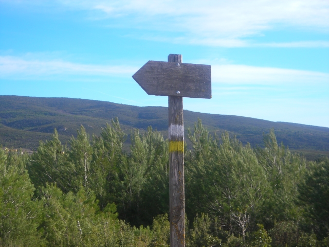
Following the inspection carried out by trail technicians, this trail has been declared of "limited adequacy" as a result of the faults detected in the signage. These include inadequate horizontal signs (paint markers) and/or vertical ones (trailheads and information boards) or lacking direction markers that do not provide sufficient information to properly follow the route. The builder of this trail has been informed of the situation.
For safety reasons and during maintenance work, it is advised to be extremely careful while taking this route. Furthermore, mountain sports entail risks associated with the activity itself and the environment where they take place, for which any person is fully liable. For this reason, hikes need to be planned properly and adequate training, equipment and sensible use of the trails are required.

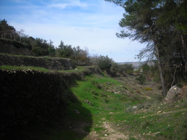
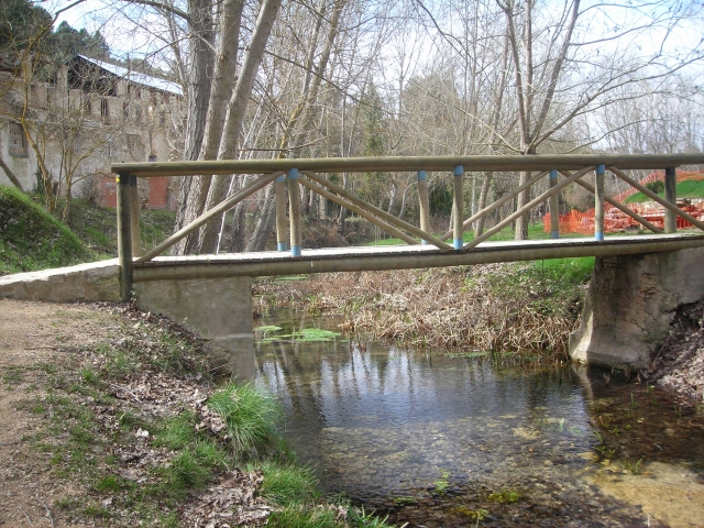
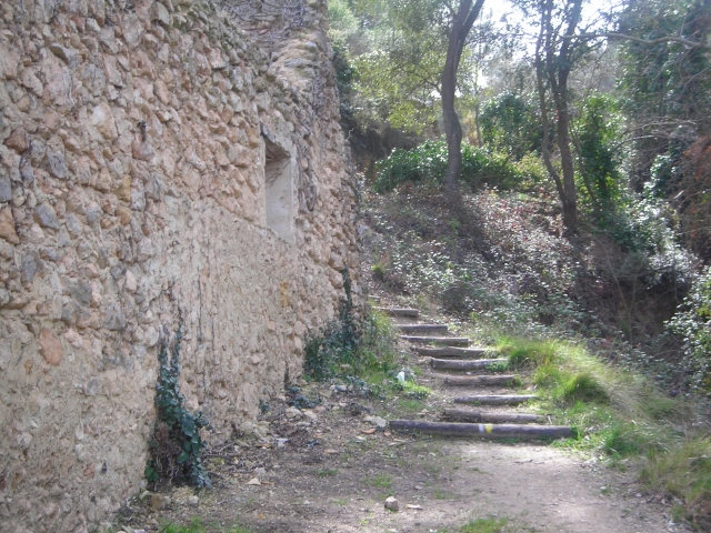
A route that connects the three most iconic paper mills in Banyeres de Mariola out of the nine that were active on the Vinalopó River between the 18th and 20th centuries, including the Molí l'Ombria, the first paper mill, and the Molí Sol, where a rolling paper was made that was famous in both Spain and America. The itinerary allows you to enjoy an interesting walk to contemplate the rich flora and fauna of a landscape that has hardly been altered.

Trail:
Loop
Technical data:
Length:
20,30 km
Estimated walking time:
05:30:00
Elevation gain:
455 m
Elevation loss:
455 m
MIDE ratings:
Level of natural risks:
2
Navigation on the trail:
2
Hiking difficulty:
2
Fitness level needed:
3

More information on Montaña Segura

Difficulty rating according to FEDME:
Unknown
Interest Tags:
Trail with environmental interes
Trail with historical-artistic interest

Useful information:
Date of certification:
15-10-1996
Date of the act of registration in the Public Register:
22-05-2007
Date of the last Quality Control:
september de 2022
Reference municipality:
District:
Province:
Alicante/Alacant
Cartography IGN MTN25:
0820-4

Downloadable from the Catalogue of the IGN Map Library

See other trails of this promoter:
Protected Natural Spaces:

We advise you to look up the regulations and/or authorisations for using the trails in these conservation areas on the website of the Conselleria de Medio Ambiente, Agua, Infraestructuras y Territorio

  • Sierra de Mariola (Natural Park)
  • Sierra de Mariola y Carrascal de la Font Roja (SPAB - Special Protection Area for Birds)
  • Sierra de Mariola y Carrascar de la Font Roja (SIC - Site of Community Interest)
Key points of the route:

Molí de l'Ombria (mill) - Font Coveta (spring) - PR-CV 313 connection - Fuente Teularet de Roc (spring) - Molí de l'Ombria (mill)

Route description (only available in Spanish)

Comenzamos en el Molí l'Ombria. Desde aquí tomamos el camino sin asfaltar que sale desde el parking en dirección Noroeste, de este punto tomamos el camino asfaltado que en ascenso nos lleva hacia el pueblo, hasta llegar a la carretera CV-795 y que seguiremos en dirección a Alcoy hasta llegar a una curva muy pronunciada a la derecha. La senda se introduce en un bosquecillo con un moderado ascenso dejando una vaguada a la izquierda. LLegaremos al polideportivo municipal, tomamos ahora un camino asfaltado por la izquierda que en dirección Noroeste nos dejará en la puerta del cementerio. El sendero abandona el pueblo por un camino de montaña sin asfaltar. Continuamos por una pista de montaña que llanea con buen firme, atentos a las bifurcaciones que encontramos (izquierda) durante unos cinco kilómetros. Pasado un alto "Morro del Porc" y llegar a una partida rural "Pla d'Ànimes" encontramos una pista ancha de buen firme que deberemos tomar por nuestra derecha. El Portell, cruce carretera Alcoy-Bocairente CV-794. Seguiremos la pista que en dirección Sur en ligero descenso, entre pinos, pronto veremos una vaguada, descendemos hacia ella sin abandonar la pista, pasamos por la derecha de la "Casa de la Rambla" hasta llegar al fondo donde veremos unas edificaciones "Pozo de la Rambla". Abandonaremos la pista por una senda en dirección Suroeste a la derecha, que poco a poco se va encajonando cruzando repetidamente el cauce. Llegamos a una planicie, seguimos por la pista a la izquierda hacia el Caserio de les Torretes. El sendero abandona la pista por una senda a la derecha que en ligero descenso nos lleva al cauce del río y la "Font de la Coveta". Seguiremos la pista hasta llegar al "Mas Ulls de Canals". Cruzaremos la carretera CV-795 hasta un camino sin asfaltar. Llegamos al cruce con el PR-CV 313 y seguimos en descenso por la misma senda pero por la izquierda de la vaguada que nos dejará enseguida en el Moli l'Ombria.

Downloads:

Beware! Navigation devices may fail, batteries may run out of power and devices may break down. Do not use only electronic means to track your activities in the mountains; they must be used as a complement to the map and compass. Get some proper training and enjoy the mountains.

Other trails connecting with this trail