Rate this trail

PR-CV 407 SENDER DE LES ERMITES

Promoter: Ayuntamiento de Castellfort

Certification status: Positive quality control

0 reviews

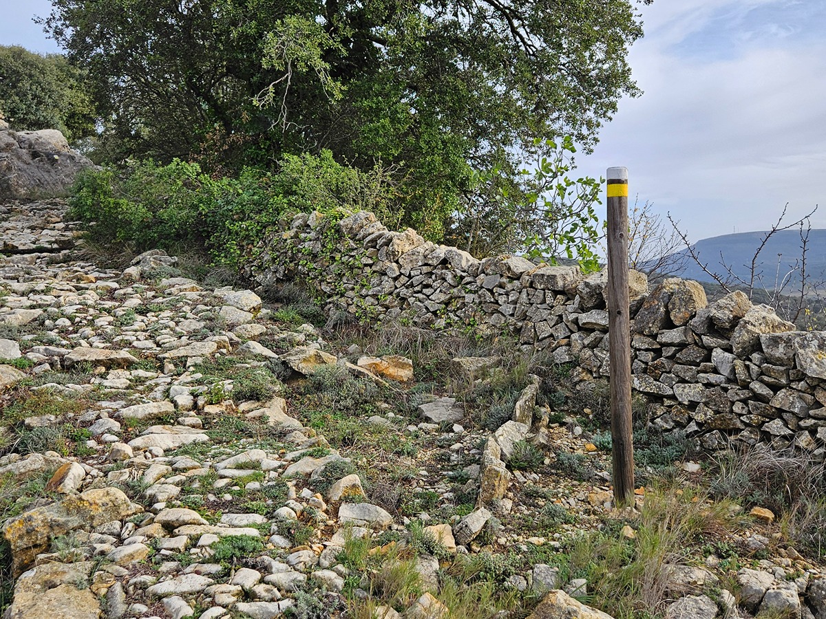
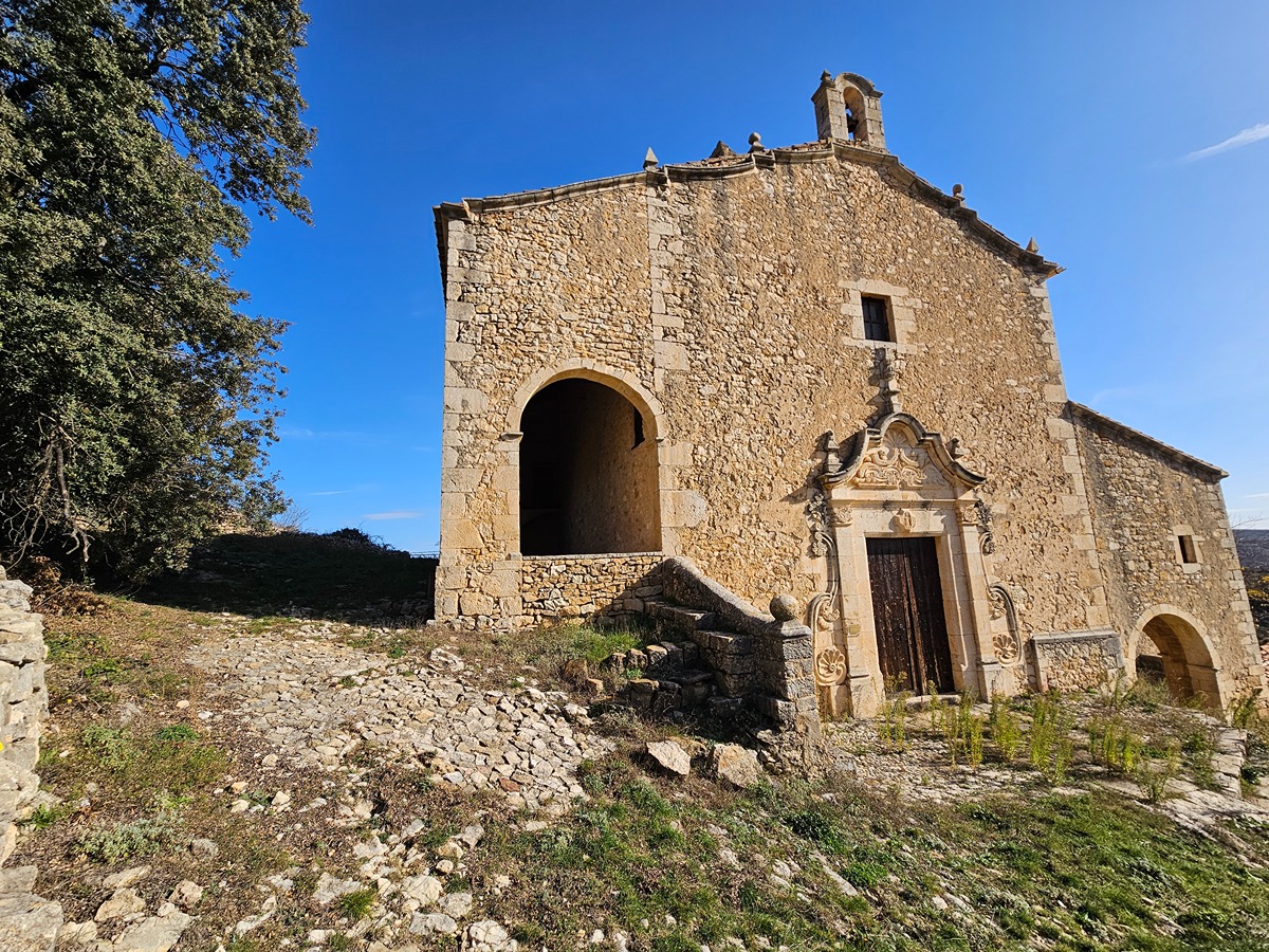
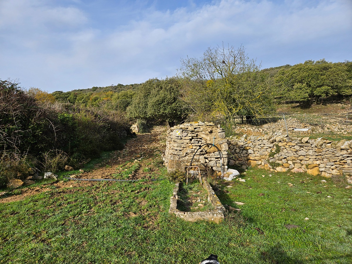
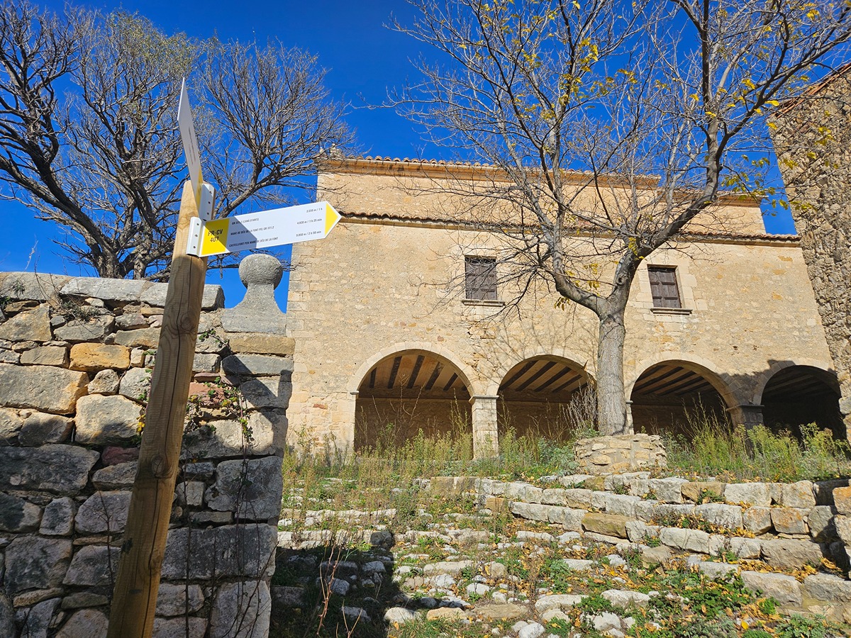
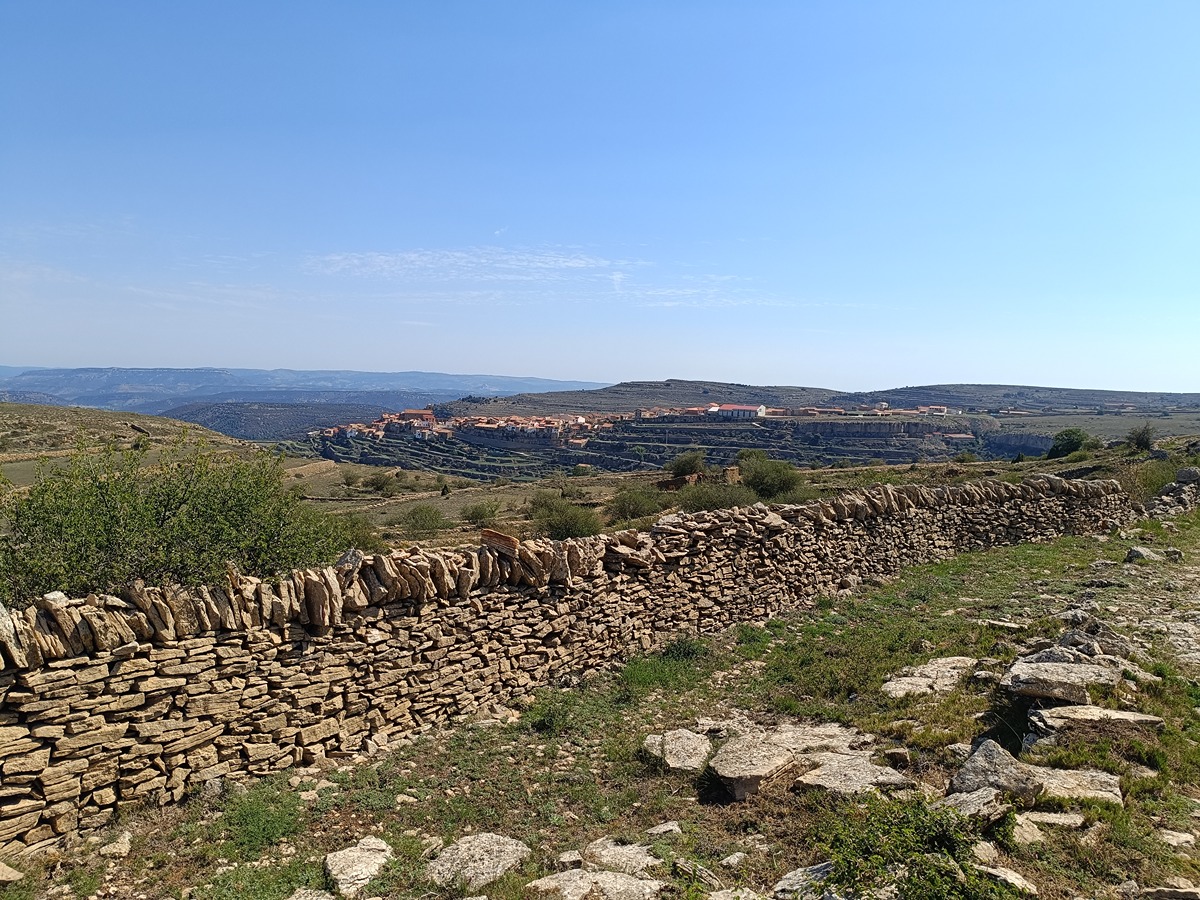
The PR-CV 407 joins together with the GR 331.2 the main hermitages of the area (Santa Elena, Santa Llúcia, Sant Pere and Mare de Déu de la Font). All in a rugged and isolated environment of great heritage and scenic interest.

Trail:
One way (point-to-point)
Technical data:
Length:
9,90 km
Estimated walking time:
03:15:00
Elevation gain:
455 m
Elevation loss:
190 m
MIDE ratings:
Level of natural risks:
2
Navigation on the trail:
2
Hiking difficulty:
2
Fitness level needed:
3

More information on Montaña Segura

Difficulty rating according to FEDME:
Unknown
Useful information:
Date of certification:
15-03-2011
Date of the last Quality Control:
december de 2024
Reference municipality:
Otros municipios por los que transcurre:
District:
Province:
Castellón/Castelló
Cartography IGN MTN25:
0569-2; 0570-1

Downloadable from the Catalogue of the IGN Map Library

See other trails of this promoter:
Protected Natural Spaces:

We advise you to look up the regulations and/or authorisations for using the trails in these conservation areas on the website of the Conselleria de Medio Ambiente, Agua, Infraestructuras y Territorio

  • L'Alt Maestrat (SIC - Site of Community Interest)
  • L'Alt Maestrat, Tinença de Benifassà, Turmell i Vallibana (SPAB - Special Protection Area for Birds)
Key points of the route:

Azagador de Castellfort (GR 331.2 connecion) (cattle track) – Hostalet de la Canada (state) – Mas d’Esteve (state) – Ermita de Santa Elena (hermitage) – Parque eólico Folch (wind farm) –PR-CV 309 connection – Ermita de Santa Llúcia (Hermitage) – Mas del Barranc (ravine) - PR-CV 309 connection) - Lloma d’en Blasco (hillock)

Route description (only available in Spanish)

El sendero se inicia en el azagador de Castellfort, muy cerca de la CV-124 en el km 32,9 justo en el enlace con el GR 331.2. Asciende suavemente por el azagador del Mas Nou y tras recorrer la CV-124 durante cerca de 300 m continua mayoritariamente por pista hasta l'hostalet de la Canada, donde abandona la pista principal. Tras casi un kilómetro y pasar por el mas d'Esteve encuentra la cabecera de la rambla de la Canà, por donde asciende hasta la ermita de Santa Elena.

Tras atravesar la ermita asciende por el azagador de Santa Elena hasta el parque eólico Folch. Continua por pista dejando a la derecha la subestación eléctrica y cruzando el PR-CV 309 que une las poblaciones de Castellfort y Vilafranca. En este punto empieza a descender por el azagador del Mas de Pau, cruzando la carretera CV-126 y alcanzando la ermita de Santa Llúcia. Toma el camino del mas de Senent hasta llegar al mas de Barranc, donde, tras superarlo, comienza a ascender por sendero hasta una zona llana donde encuentra nuevamente el PR-CV 309, ya en las cercanías del peiró d’en Blasco.

Downloads:

Beware! Navigation devices may fail, batteries may run out of power and devices may break down. Do not use only electronic means to track your activities in the mountains; they must be used as a complement to the map and compass. Get some proper training and enjoy the mountains.

Other trails connecting with this trail