Rate this trail

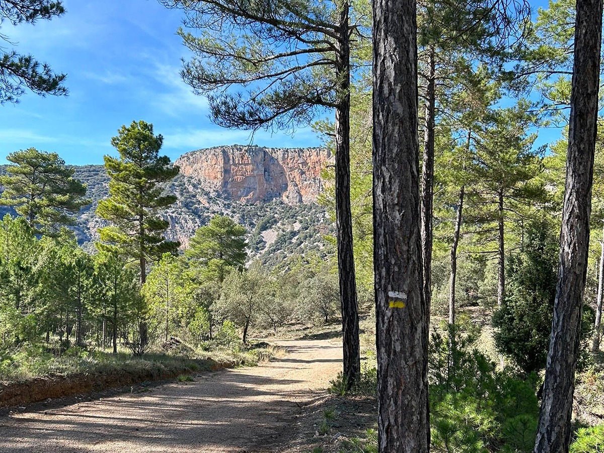
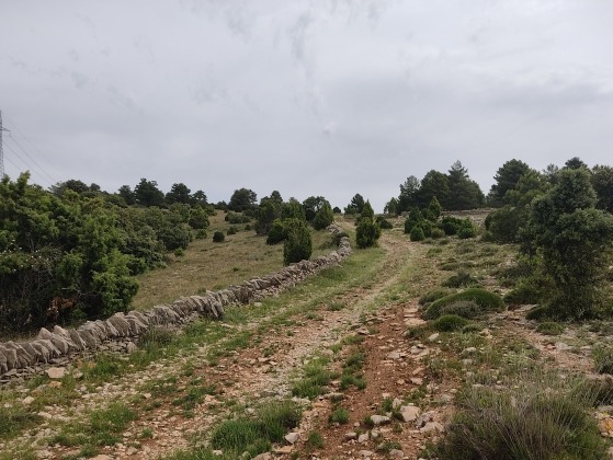
PR-CV 408 SENDER DE LA RAMBLA SELLUMBRES

Promoter: Ayuntamiento de Portell de Morella

Certification status: No quality controls
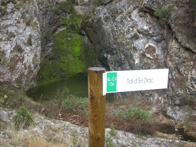
0 reviews

There is no proof of quality control on the record of this trail in the last years. For this reason, it is unknown whether it complies with the optimal signage and maintenance conditions for hikers to take the trail following these signs exclusively.
Hikers have to take into consideration that the information about the signage and maintenance of the trails for which the promoter entity is responsible might not be up to date anymore, since it refers to its state on the date of its approval. Furthermore, mountain sports entail risks associated with the activity itself and the environment where they take place, for which any person is fully liable. For this reason, hikes need to be planned properly and adequate training, equipment and sensible use of the trails are required.

Trail:
Loop
Technical data:
Length:
16,60 km
Estimated walking time:
05:20:00
Elevation gain:
565 m
Elevation loss:
565 m
MIDE ratings:
Level of natural risks:
1
Navigation on the trail:
2
Hiking difficulty:
2
Fitness level needed:
3

More information on Montaña Segura

Difficulty rating according to FEDME:
Unknown
Starting point:
Useful information:
Date of certification:
15-03-2011
Reference municipality:
Otros municipios por los que transcurre:
District:
Province:
Castellón/Castelló
Cartography IGN MTN25:
0544-4

Downloadable from the Catalogue of the IGN Map Library

See other trails of this promoter:
Protected Natural Spaces:

We advise you to look up the regulations and/or authorisations for using the trails in these conservation areas on the website of the Conselleria de Medio Ambiente, Agua, Infraestructuras y Territorio

  • L'Alt Maestrat (SIC - Site of Community Interest)
  • L'Alt Maestrat, Tinença de Benifassà, Turmell i Vallibana (SPAB - Special Protection Area for Birds)
  • Rambla de Celumbres (Municipal Natural Site)
Key points of the route:

Lavadero Portell de Morella (old wash house) - El Molinet, information panel - Cruz las Artigas (cross) - Rambla Sellumbres (wadi) - SL-CV 134 connection - Path in the wadi - fork - Rambla de la barcilla (wadi) - area of level ground - Meseta de la roca roja (plateau) - intersection - watercourse bed, mas de Arnal (estate) intersection - Quarry - Barranco de la Rosella (ravine) - paved track - Lavadero Portell de Morella (old wash house)

Route description (only available in Spanish)

Salimos hacia el barranco de la font d’Ineso, después de cruzarlo nos dirigimos en dirección sureste por la colada de les Emportelles en busca de la Creu de les Artigues junto con el GR 331 y el PR-CV 332, en la creu de les Artigues abandonamos el GR 331 y el PR-CV 332 y nos dirigiremos hacia el este por la costera del Pont y els Vinyals hasta la rambla de Celumbres para dirigirnos hacia el norte en busca de la Roca del Corb en el Racó de les Agrelles, siguiendo la rambla hasta llegar al barranco de la Barcella, que remontamos en busca de la pista del Petróleo que no lleva hasta la CV-125, donde sin cruzarla, seguimos en dirección sur por la colada del Mas de Palma hasta el pou del mas de Arnal donde seguimos, en dirección sur, el barranco de la Rosella hasta el Portell de Morella.

Downloads:

Beware! Navigation devices may fail, batteries may run out of power and devices may break down. Do not use only electronic means to track your activities in the mountains; they must be used as a complement to the map and compass. Get some proper training and enjoy the mountains.

Other trails connecting with this trail