
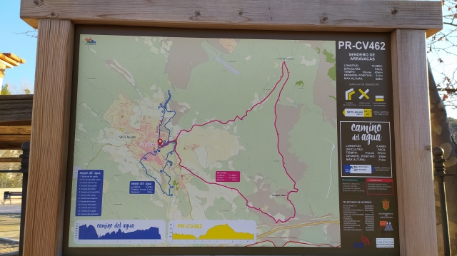
PR-CV 462 SENDERO DE ARRAVACAS
Promoter: Ayuntamiento de Siete Aguas
Certification status: Valid
0 reviews
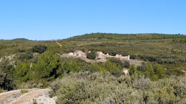
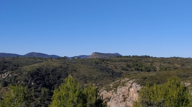
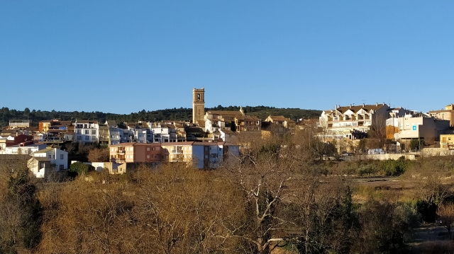
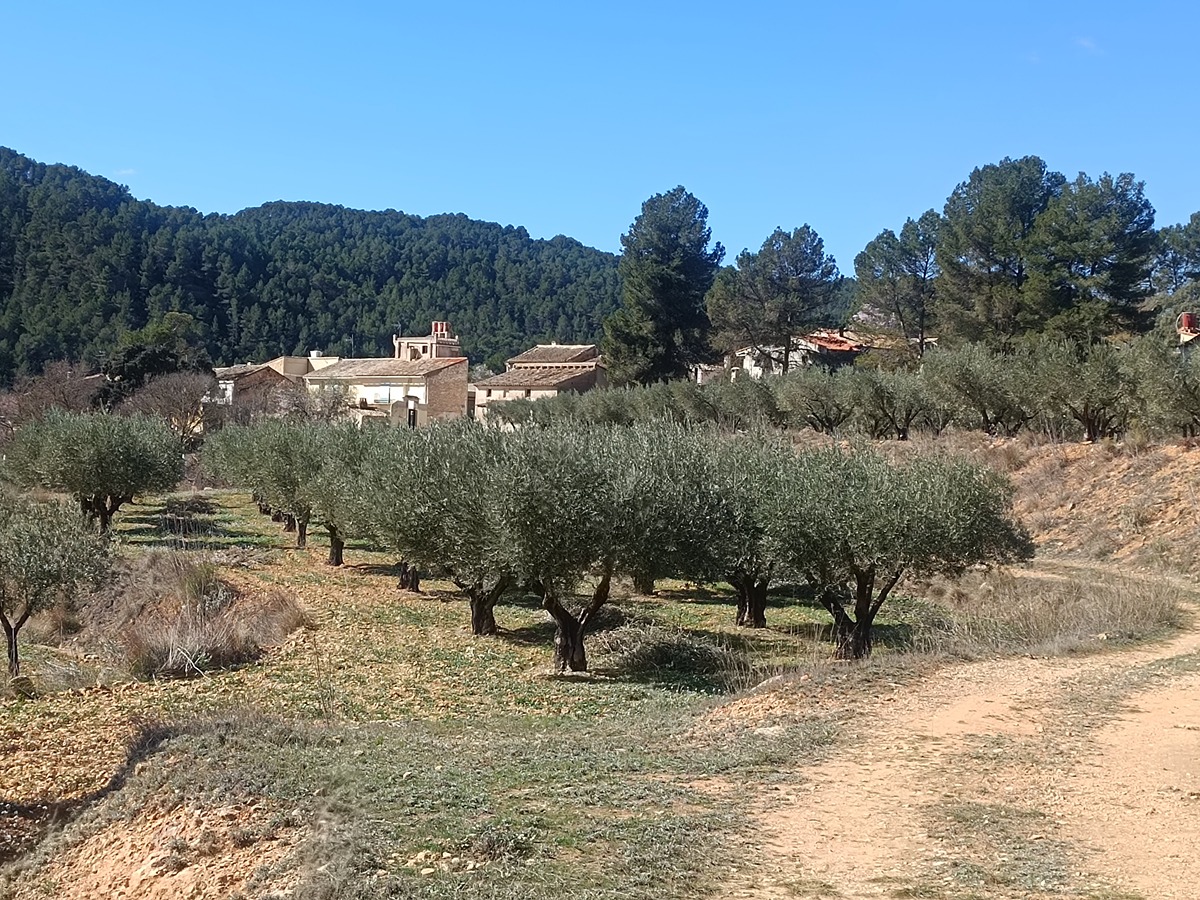
This circular trail begins in the park of Glorieta de Siete Aguas and leads to the Arravaca corral, an example of traditional stone construction, crossing wooded areas of pine trees and areas with beautiful views of the Malacara mountain range and the town of Siete Aguas.
Trail:
Loop with some overlapping out and back sections
Other trails connecting with this trail
GR 7 E40 SIETE AGUAS - CAMPAMENTO TABARLA
Promoter: Generalitat Valenciana
Certification status: temporary cancellation
Etapa número: 40
Reference municipality: Siete Aguas
Length: 24,60 km
Estimated walking time: 07:30:00
Elevation gain: 570 m
Elevation loss: 805 m
(0)

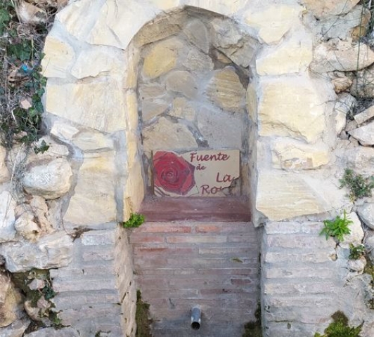
PR-CV 360 SENDERO DE LAS FUENTES
Promoter: Ayuntamiento de Siete Aguas
Certification status: De-registered / De-approved
Reference municipality: Siete Aguas
(0)