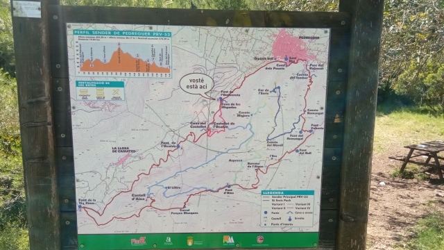
Esta variante la iniciaremos al Paratge Miqueles-Ombrereta al que llegaremos por la carretera local CV-720, km. 7'600, en frente de la entrada principal de la urbanización 'Monte Solana'.
El Paratge es un lugar con abundancia de pinos, donde hay un manantial de agua y un acueducto que mediante una canalización alcanza el depósito municipal de agua potable de Pedreguer. Fue construida entre el año 1879 y 1887. Actualmente por dentro de la acequia hay una cañería que todavía lleva el agua de un pozo próximo hasta el depósito municipal de agua potable.
Junto a esta acequia está la llamada Coveta de les Miqueles, lugar de juegos de generaciones de niños del pueblo y que ahora solo se visitada por los excursionistas y familias que vienen a comerse la 'mona' en Pascua.
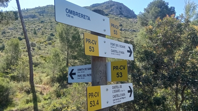
La Variante IV, coincide al inicio con el sendero principal, así que desde l´Ombrereta tomaremos camino dirección en la montaña, rumbo Sur, el sendero es prácticamente plano unos 250 m. que encontraremos una desviación en nuestra izquierda que nos indicará el ascenso al Castillet de l´Ocaive, en este punto abandonamos también el sendero principal y empezamos a subir montaña arriba por una senda mucho más pequeña en la que pasaremos de 153 m. s. n. m. a 268 en poco más de 450 m. de distancia.
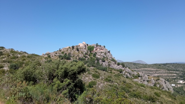
Al llegar arriba encontraremos el enlace con la Variante III, que acaba aquí, debemos de seguir recto en la misma dirección que llevábamos y poco a poco iremos girando cara al Castillete del l´Ocaive que ya se ve perfectamente al fondo y posiblemente vemos también una manada de cabras blancas que pacen por su entorno.
Después de la vuelta que hace el camino para salvar un barranco, veremos un desvío a la izquierda señalando 'Pouet' se trata de un aljibe del que no se recomendable beber. Seguiremos de nuevo el sender aproximadamente 450 m. hasta el collado del castillete donde encontraremos el camino de acceso en el castillo.
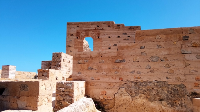
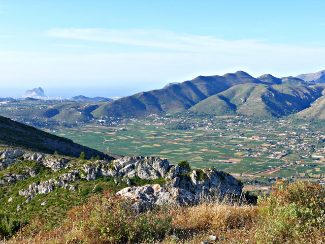
Una vez disfrutado del paisaje que se divisa desde el Castillete de l´Ocaive, volveremos en su punto de inicio de la subida, en el collado, continuando el sendero en descenso hacia bajo de los acantilados, hasta situarnos frente a la cueva del castillete donde encontraremos el enlace con el recorrido principal del PR-CV 53 y final de esta variante.
Podemos volver al inicio de la Variante IV, siguiendo el sendero principal hacia la derecha en descenso hasta llegar l´Ombrereta.