Rate this trail

PR-CV 54.1 LA PLANA

Promoter: Ayuntamiento de Callosa de Segura y Club Amigos de la Sierra

Certification status: Positive quality control

0 reviews

A spur trail that allows you to see the castle of Callosa and the western slope of la sierra in 35 minutes.

Trail:
One way (point-to-point)
Technical data:
Length:
1,00 km
Estimated walking time:
00:35:00
Elevation gain:
175 m
Elevation loss:
10 m
MIDE ratings:
Level of natural risks:
1
Navigation on the trail:
2
Hiking difficulty:
1
Fitness level needed:
1

More information on Montaña Segura

Difficulty rating according to FEDME:
Unknown
Useful information:
Date of certification:
27-01-2001
Date of the act of registration in the Public Register:
22-05-2007
Date of the last Quality Control:
may de 2023
Reference municipality:
Province:
Alicante/Alacant
Cartography IGN MTN25:
0913-2

Downloadable from the Catalogue of the IGN Map Library

Protected Natural Spaces:

We advise you to look up the regulations and/or authorisations for using the trails in these conservation areas on the website of the Conselleria de Medio Ambiente, Agua, Infraestructuras y Territorio

  • La Pilarica-Sierra de Callosa (Municipal Natural Site)
  • Serres del Sud d'Alacant (SPAB - Special Protection Area for Birds)
  • Sierra de Callosa de Segura (SIC - Site of Community Interest)
  • Sierra de Callosa de Segura (SAC - Special Area of Conservation)
Key points of the route:

Ermita de Nuestra Sra. del Pilar (chapel) - - Alto la Plana (peak)

Route description (only available in Spanish)

Desde la ermita de la Pilarica se asciende a la Plana por el barranco de la Cantera. En distintos puntos de esta senda se puede disfrutar de magníficas vistas sobre todo de la franja costera que va desde el cabo de Santa Pola hasta Guardamar.

Desde lo alto del barranco también podremos ver, siguiendo la divisoria, el castillo de Callosa de Segura a nuestra izquierda. Siguiendo la divisoria hacia la derecha llegaremos hasta la Plana (293 m de altitud).

Downloads:

Beware! Navigation devices may fail, batteries may run out of power and devices may break down. Do not use only electronic means to track your activities in the mountains; they must be used as a complement to the map and compass. Get some proper training and enjoy the mountains.

Other trails connecting with this trail
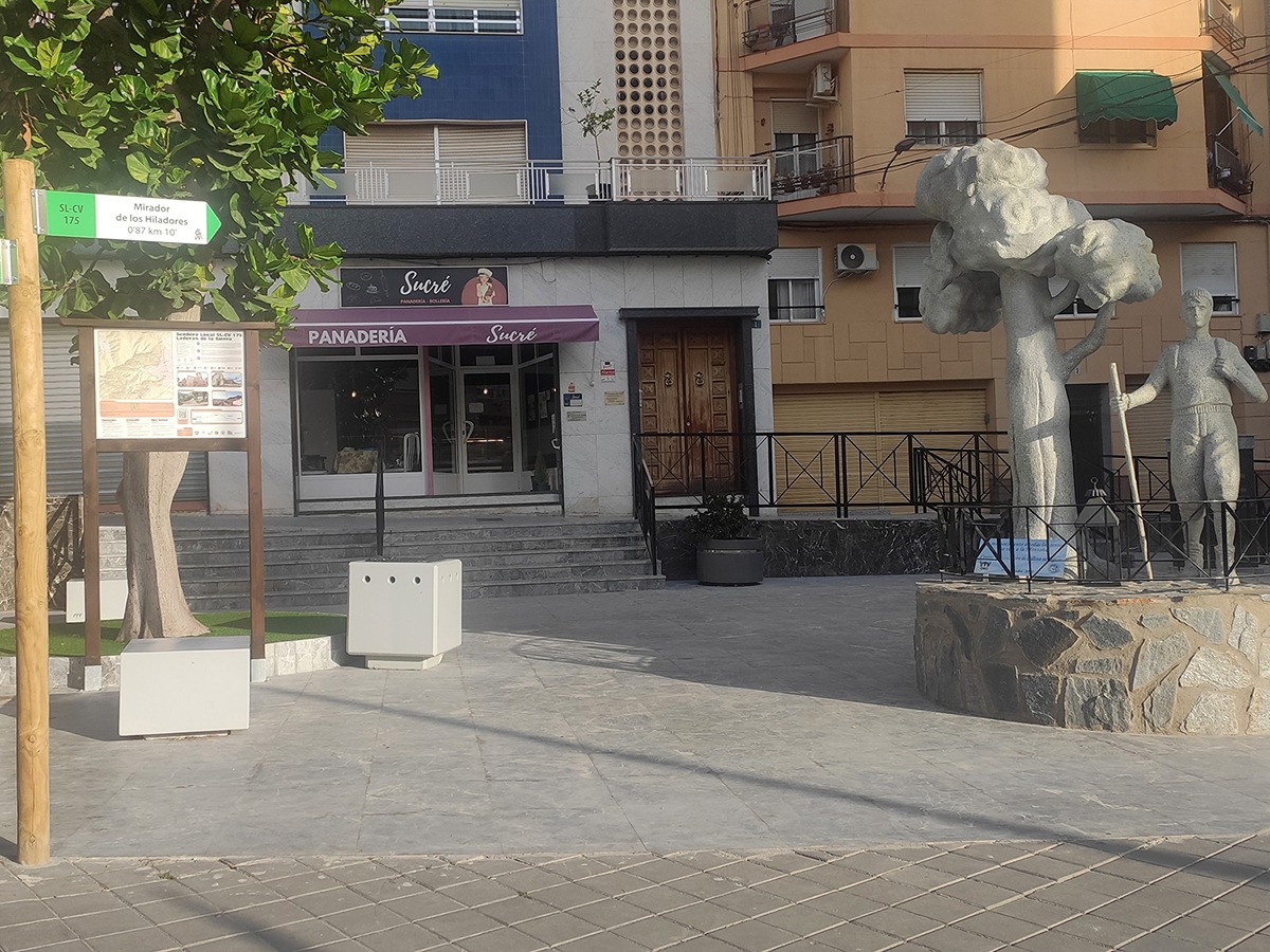