
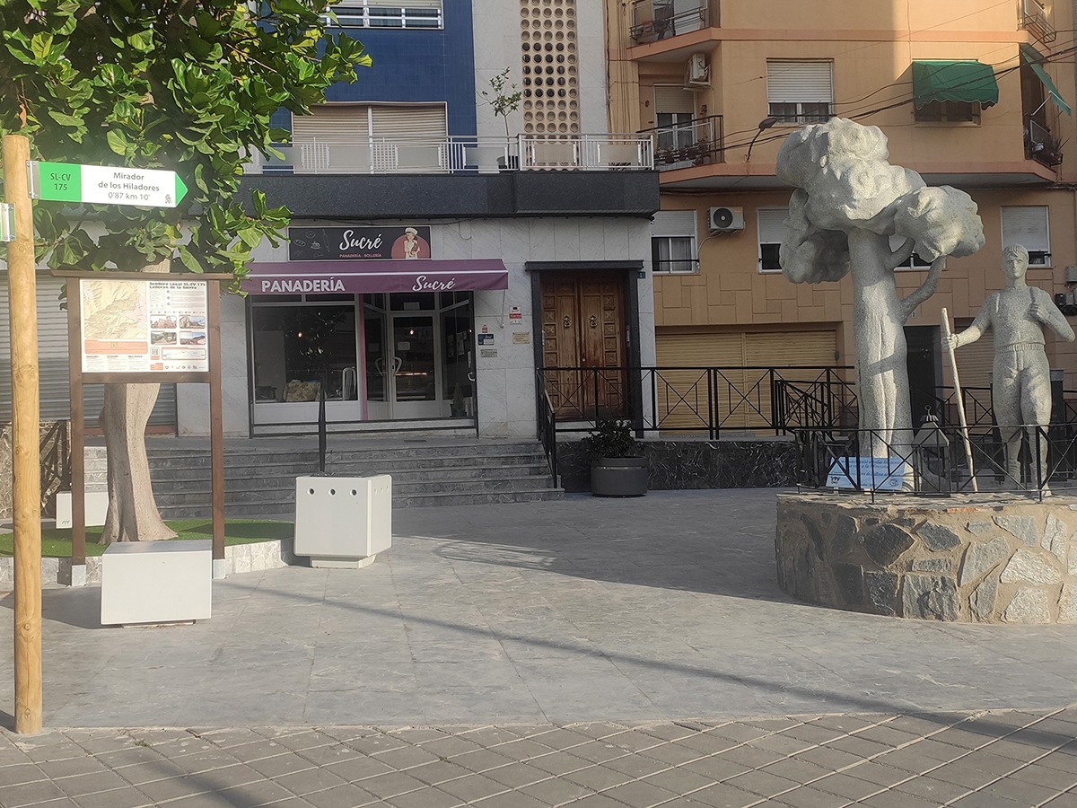
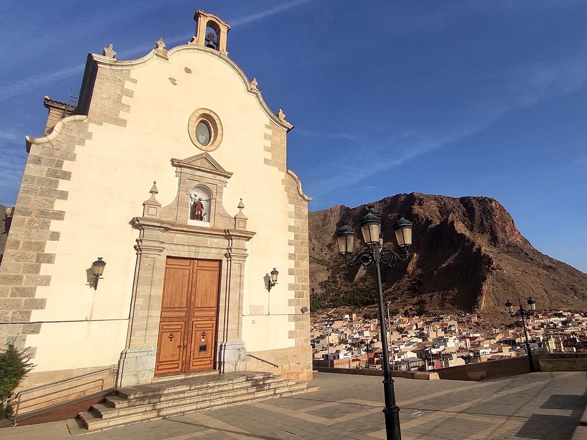
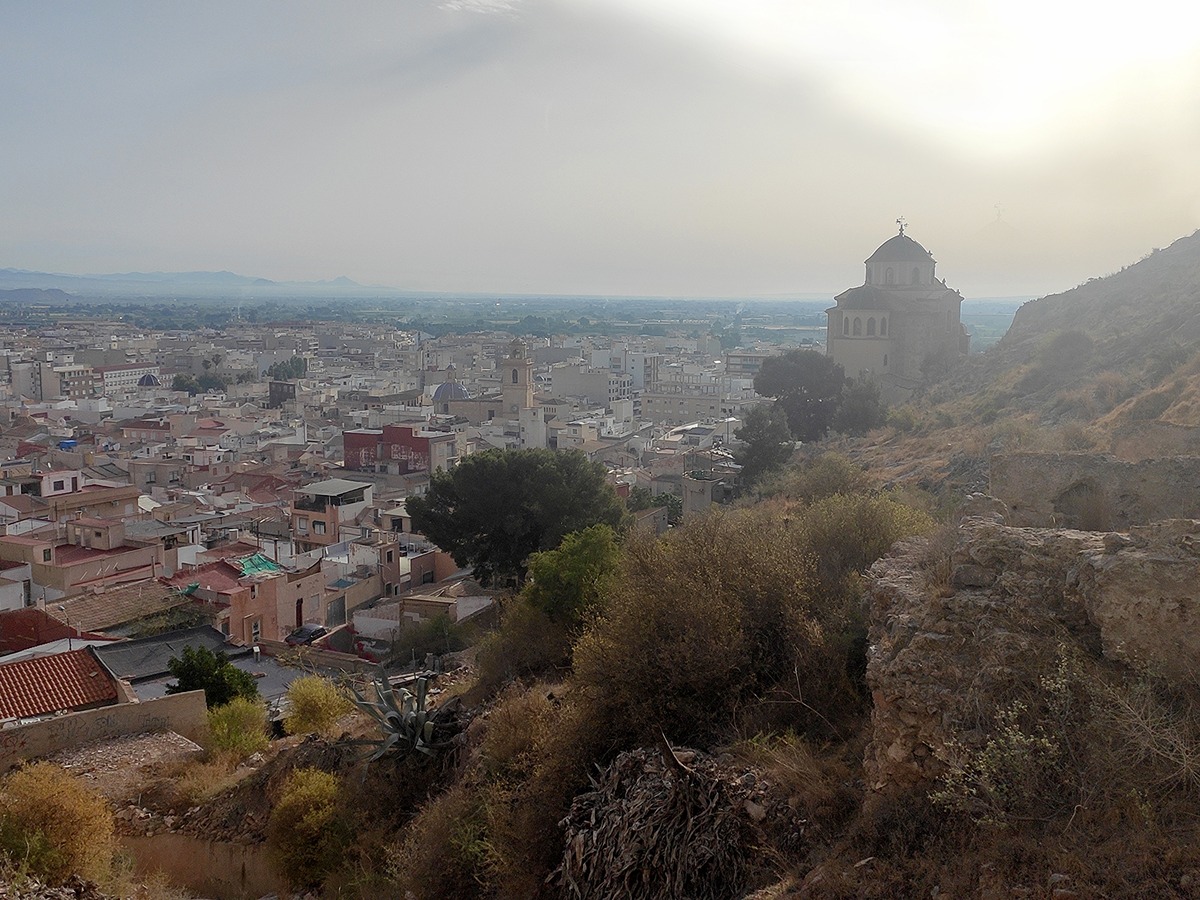
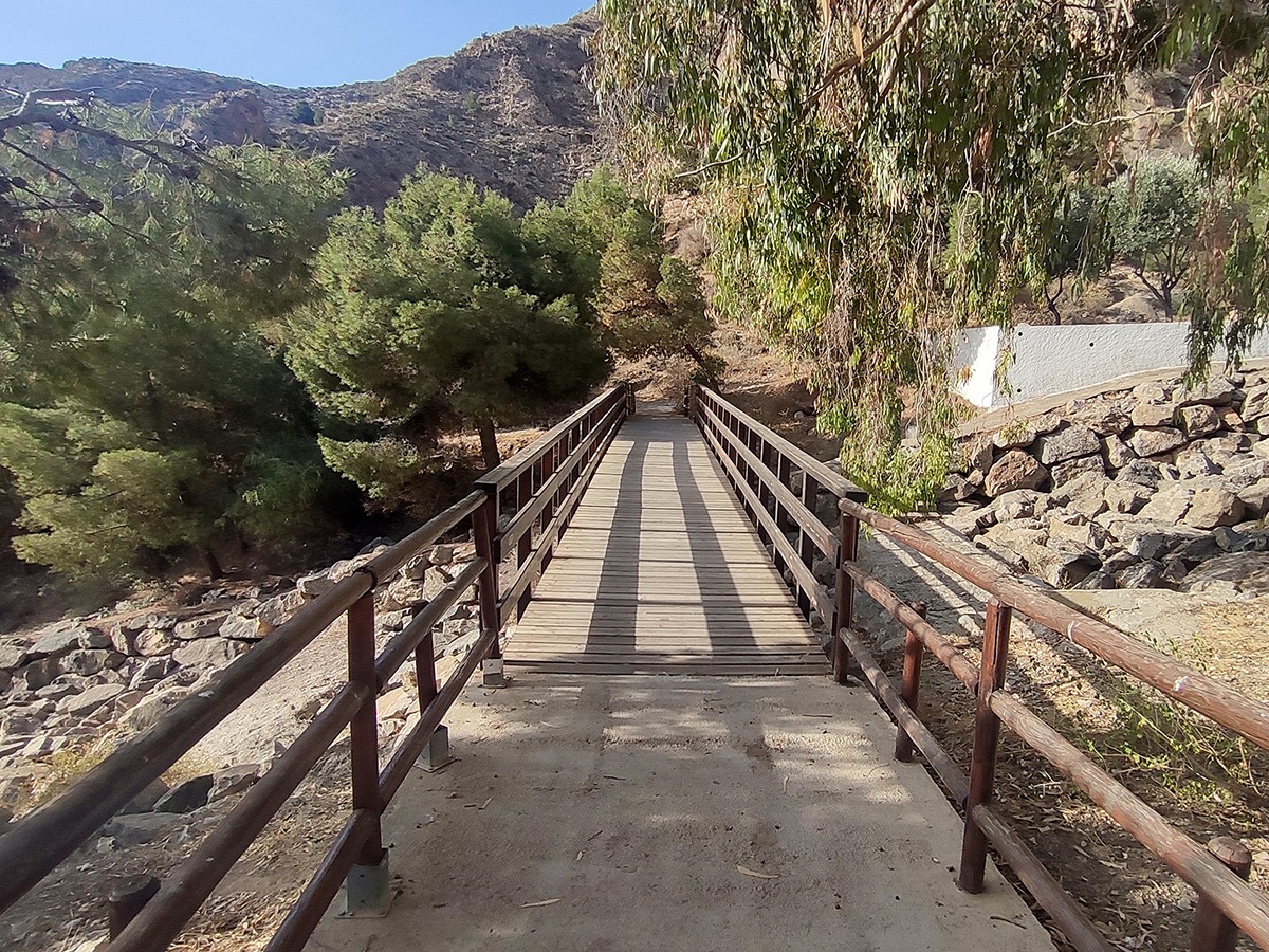
SL-CV 175 LADERAS DE LA SIERRA
Promoter: Ayuntamiento de Callosa de Segura
Certification status: Valid
0 reviews
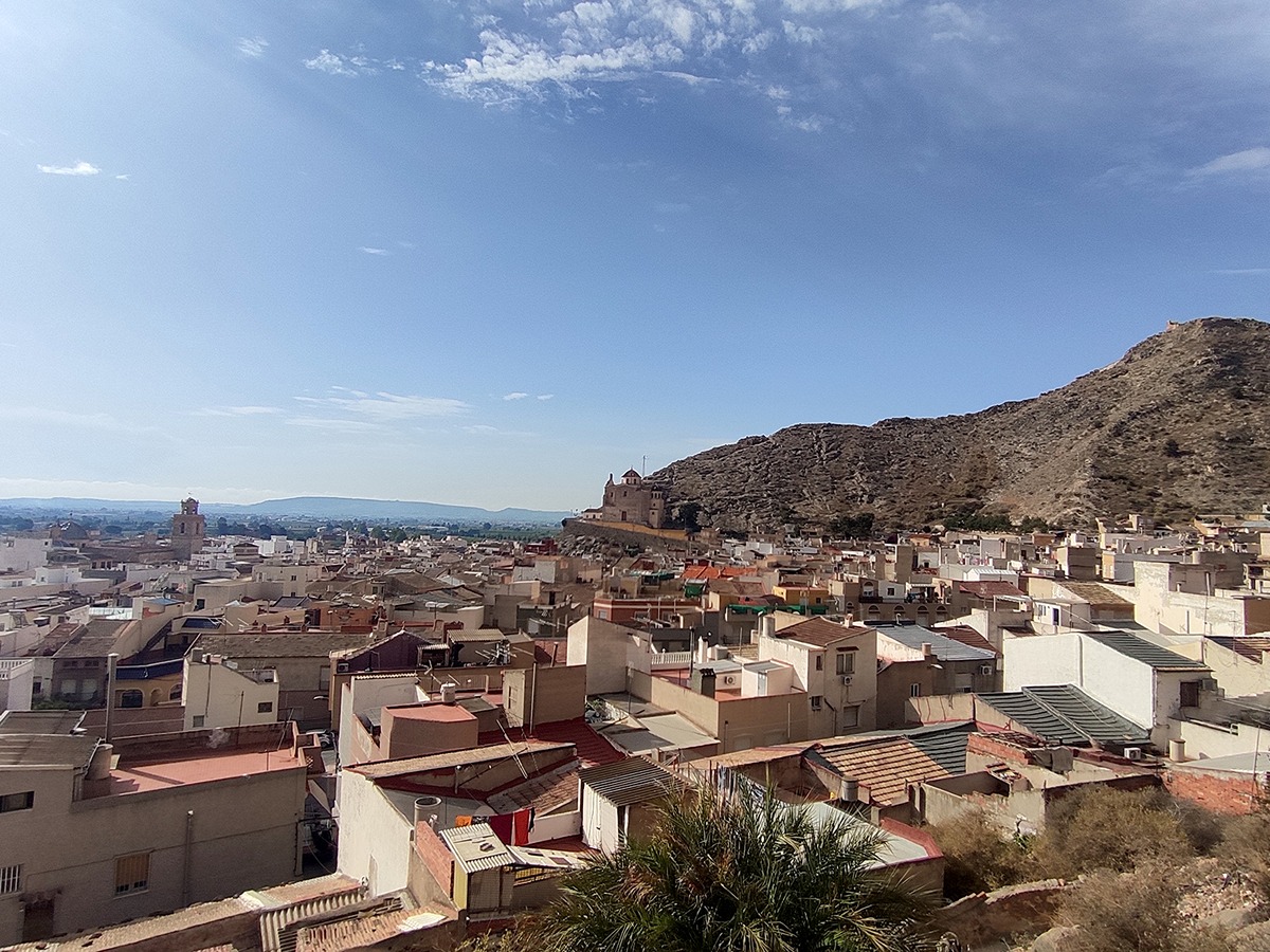
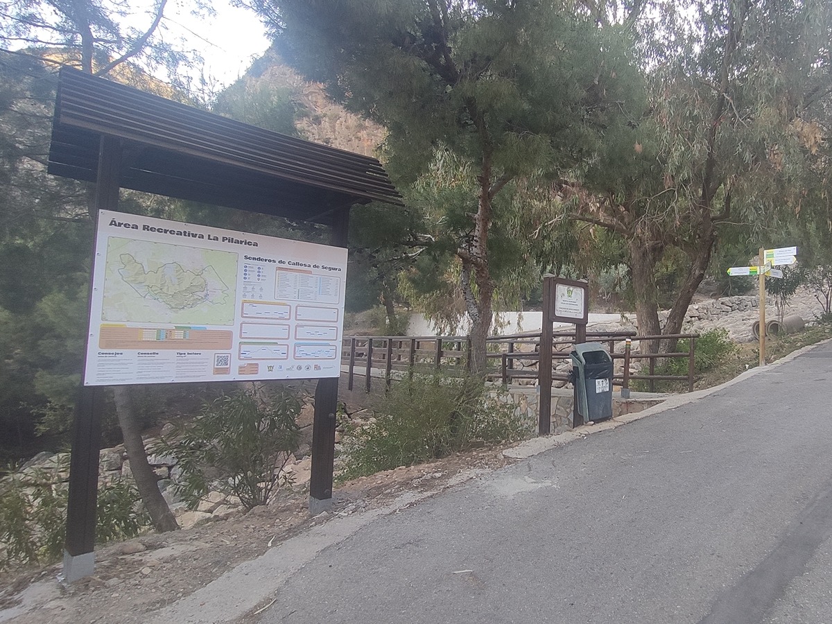
A path that runs along the entire slope of the Callosa mountain range, passing through the most important landmarks of the town, such as the Sanctuary of San Roque, la Pilarica and the remains of the hemp spinners of the town. It also showcases its heritage such as the cisterns of the mountain range or the castle of Callosa de Segura itself.
Trail:
Loop
Other trails connecting with this trail
PR-CV 54 SIERRA DE CALLOSA DE SEGURA
Promoter: Ayuntamiento de Callosa de Segura y Club Amigos de la Sierra
Certification status: Positive quality control
Reference municipality: Callosa de Segura
Length: 16,00 km
Estimated walking time: 07:20:00
Elevation gain: 975 m
Elevation loss: 975 m
(0)
PR-CV 54.1 LA PLANA
Promoter: Ayuntamiento de Callosa de Segura y Club Amigos de la Sierra
Certification status: Positive quality control
Reference municipality: Callosa de Segura
Length: 1,00 km
Estimated walking time: 00:35:00
Elevation gain: 175 m
Elevation loss: 10 m
(0)
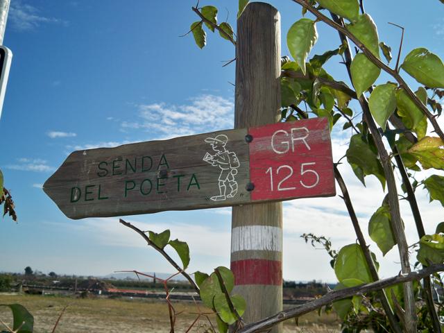
GR 125 SENDA DEL POETA MIGUEL HERNÁNDEZ
Promoter: Fundación Cultural Miguel Hernández
Certification status: Negative quality control
Reference municipality: Orihuela
(0)