
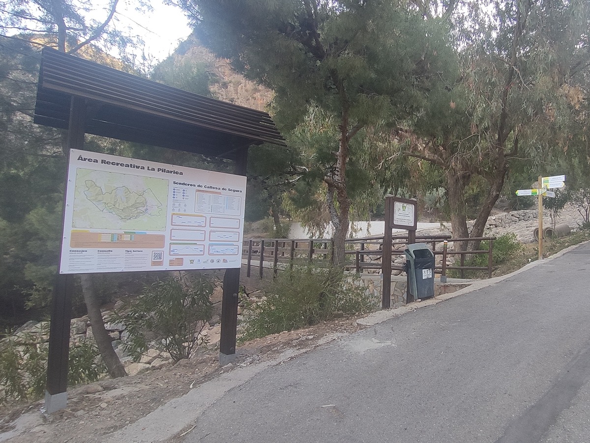
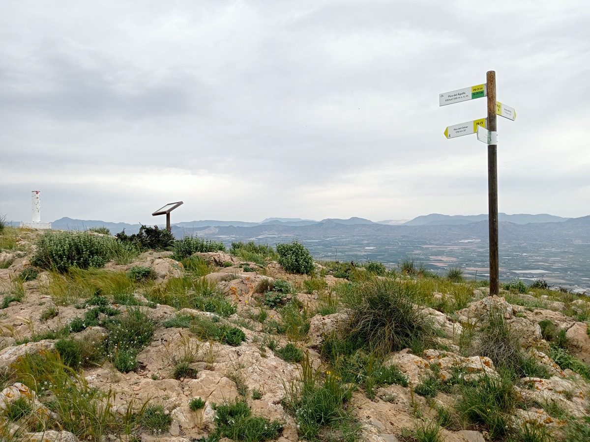
PR-CV 54 SIERRA DE CALLOSA DE SEGURA
Promoter: Ayuntamiento de Callosa de Segura y Club Amigos de la Sierra
Certification status: Positive quality control
0 reviews
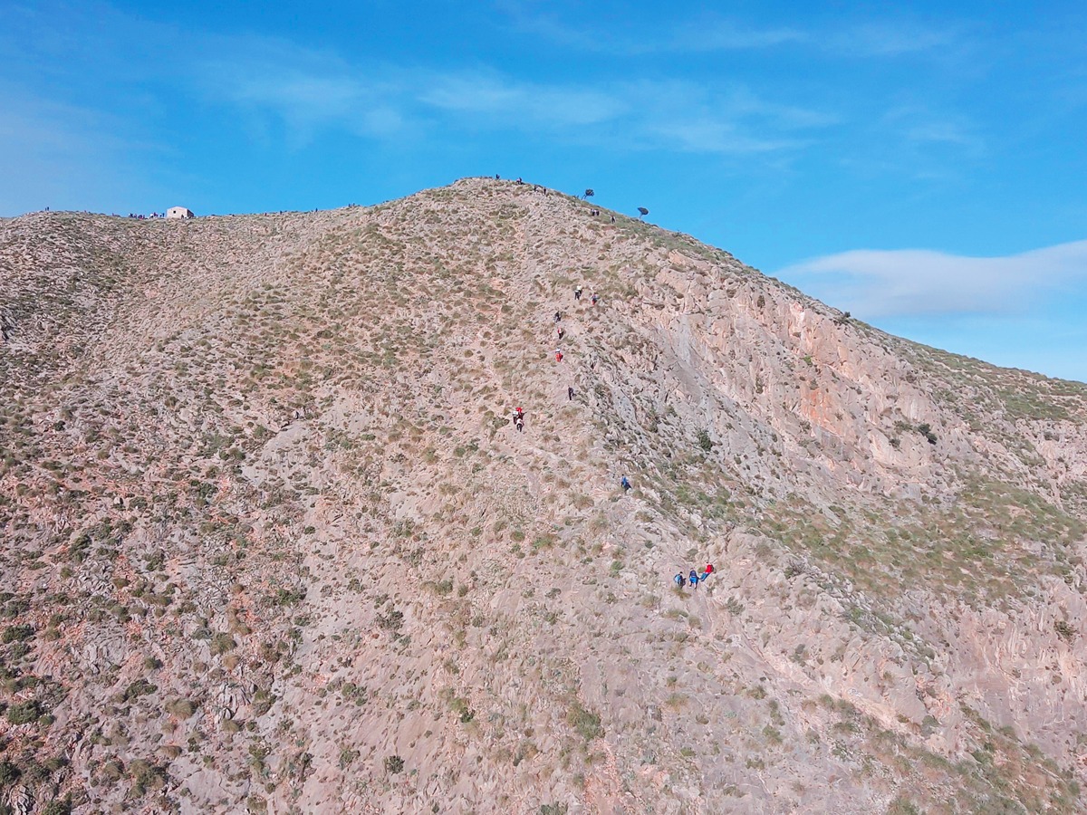
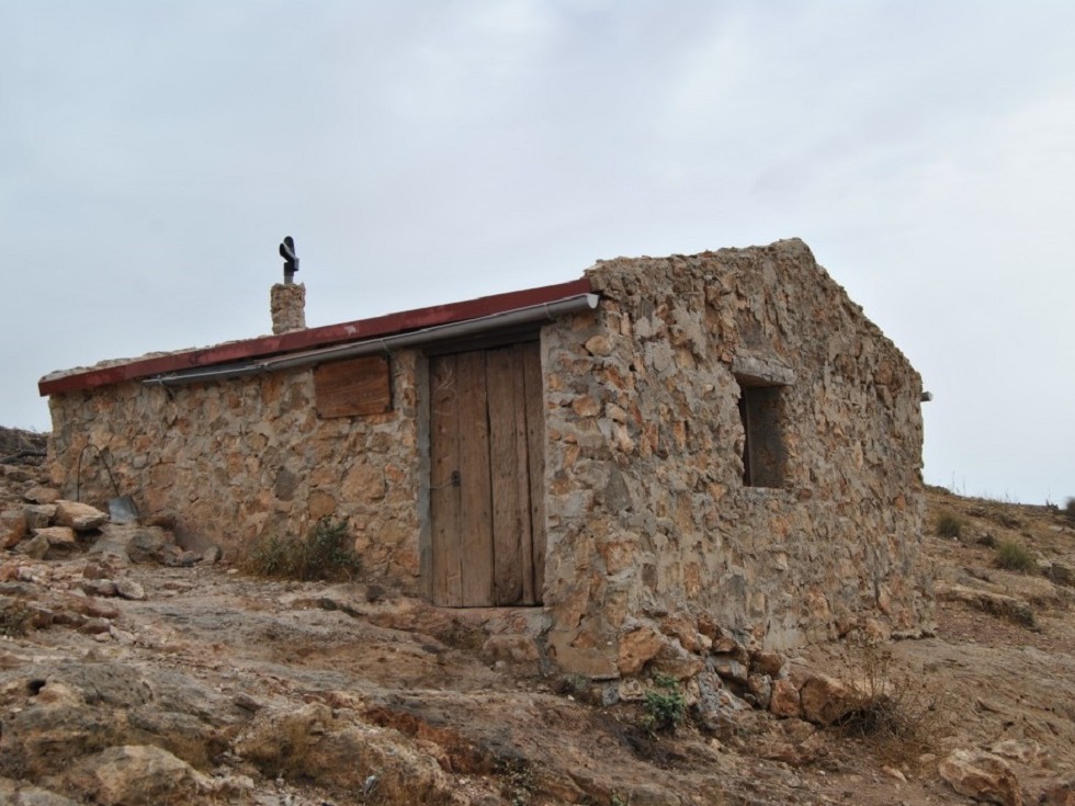
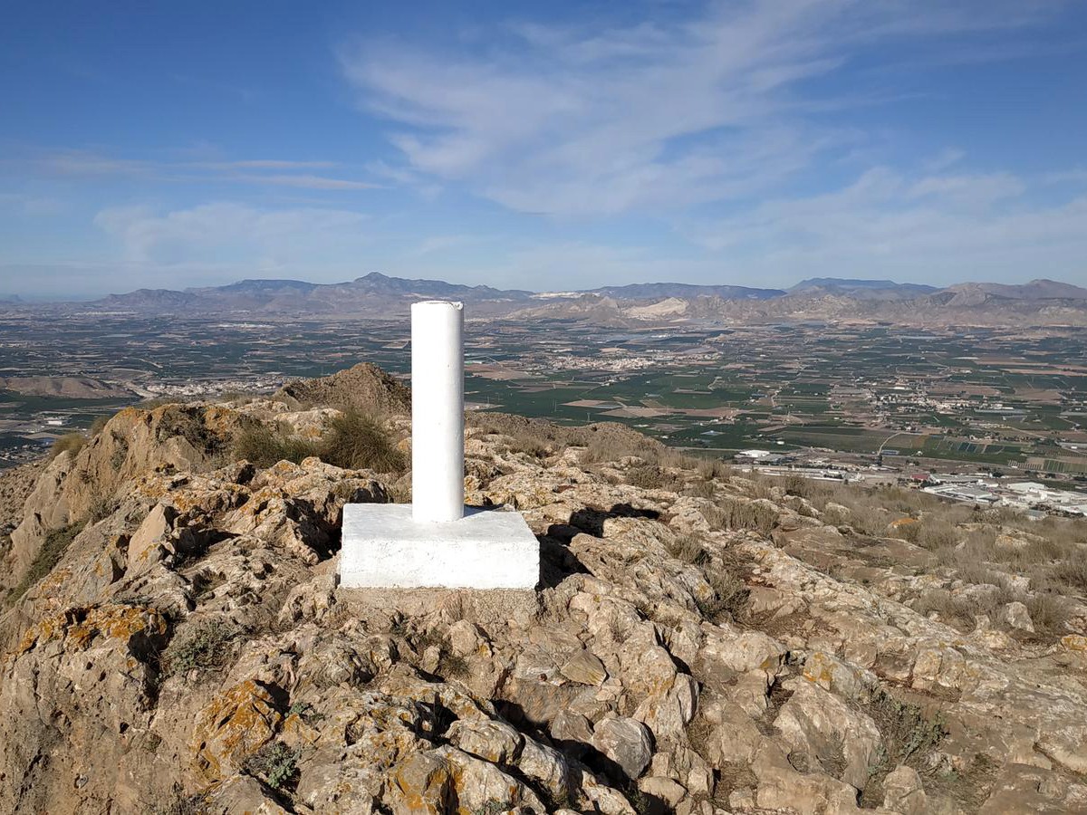
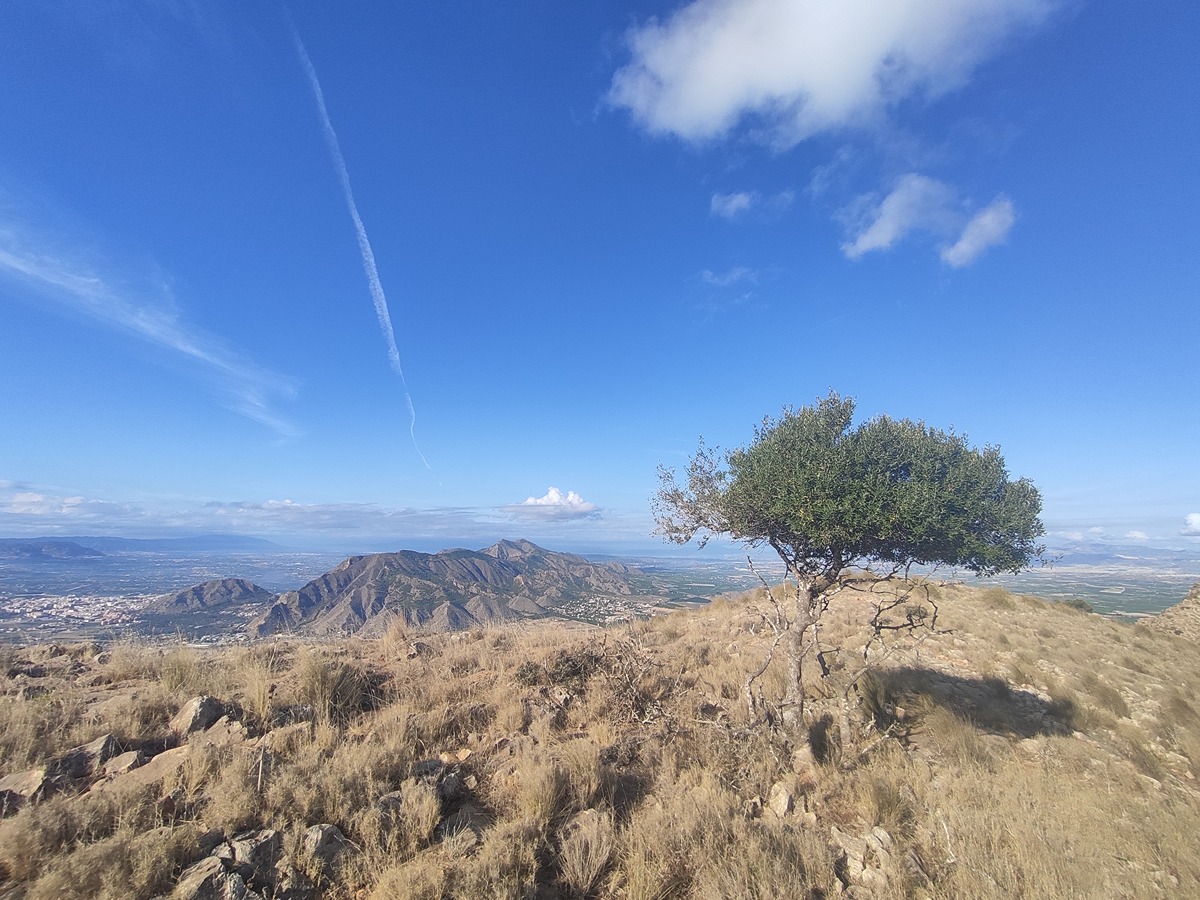
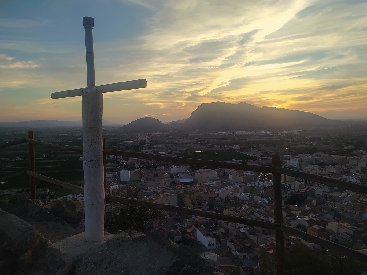
A trail with a demanding route, in terms of elevation and physical effort, in which you will cross the Sierra de Callosa de Segura on its four slopes, passing through its highest point, Alto del Águila, and have a view of the town and its crops from the Hiladores viewpoint.
Trail:
Loop
Alternative routes and routes leading to nearby points of interest
PR-CV 54.1 LA PLANA
Promoter: Ayuntamiento de Callosa de Segura y Club Amigos de la Sierra
Certification status: Positive quality control
Reference municipality: Callosa de Segura
Length: 1,00 km
Estimated walking time: 00:35:00
Elevation gain: 175 m
Elevation loss: 10 m
(0)
PR-CV 54.2 PICO SAN BERNARDO
Promoter: Ayuntamiento de Callosa de Segura y Club Amigos de la Sierra
Certification status: Positive quality control
Reference municipality: Callosa de Segura
Length: 1,30 km
Estimated walking time: 00:50:00
Elevation gain: 320 m
Elevation loss: 30 m
(0)
PR-CV 54.3 CUEVA AHUMADA
Promoter: Ayuntamiento de Callosa de Segura y Club Amigos de la Sierra
Certification status: Positive quality control
Reference municipality: Callosa de Segura
Length: 7,00 km
Estimated walking time: 02:45:00
Elevation gain: 565 m
Elevation loss: 450 m
(0)
Other trails connecting with this trail
SL-CV 146 LOS COLORAOS
Promoter: Ayuntamiento de Redován
Certification status: Positive quality control
Reference municipality: Redován
Length: 2,00 km
Estimated walking time: 01:45:00
Elevation gain: 545 m
Elevation loss: 25 m
(1)
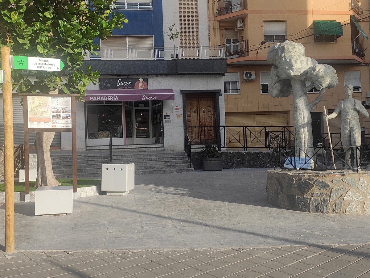
SL-CV 175 LADERAS DE LA SIERRA
Promoter: Ayuntamiento de Callosa de Segura
Certification status: Valid
Reference municipality: Callosa de Segura
Length: 3,60 km
Estimated walking time: 01:30:00
Elevation gain: 160 m
Elevation loss: 160 m
(0)
PR-CV 441 MIRADOR DE LA VEGA
Promoter: Consorcio para el Desarrollo Económico de la Vega Baja
Certification status: No quality controls
Reference municipality: Redován
Length: 20,60 km
Estimated walking time: 06:35:00
Elevation gain: 685 m
Elevation loss: 685 m
(2)