PR-CV 441 MIRADOR DE LA VEGA
Promoter: Consorcio para el Desarrollo Económico de la Vega Baja
Certification status: No quality controls
Following the inspection carried out by trail technicians, this trail has been declared of "limited adequacy" as a result of the faults detected in the signage. These include inadequate horizontal signs (paint markers) and/or vertical ones (trailheads and information boards) or lacking direction markers that do not provide sufficient information to properly follow the route. The builder of this trail has been informed of the situation.
For safety reasons and during maintenance work, it is advised to be extremely careful while taking this route. Furthermore, mountain sports entail risks associated with the activity itself and the environment where they take place, for which any person is fully liable. For this reason, hikes need to be planned properly and adequate training, equipment and sensible use of the trails are required.
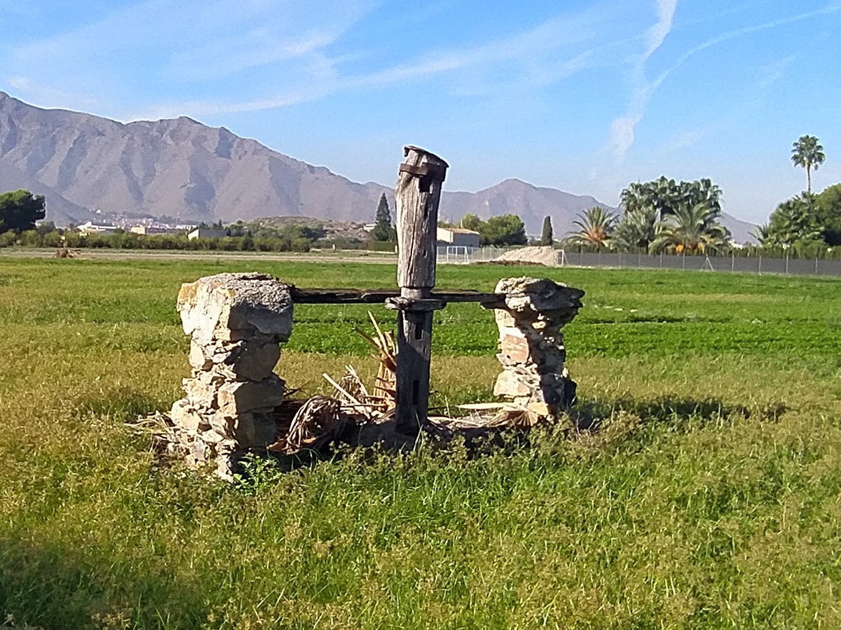
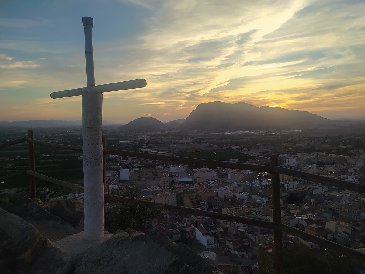
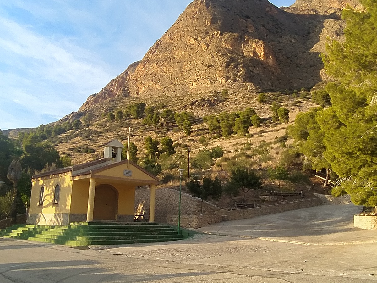
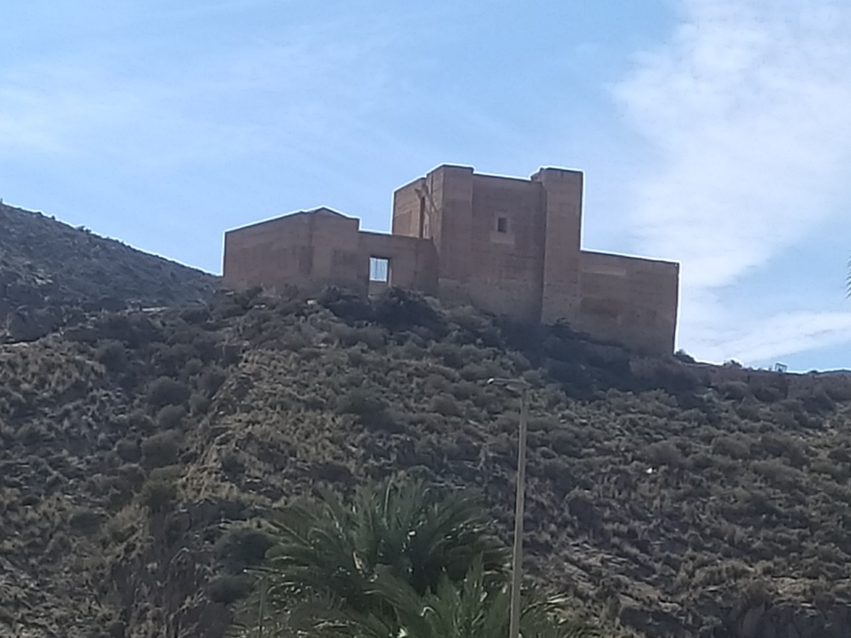
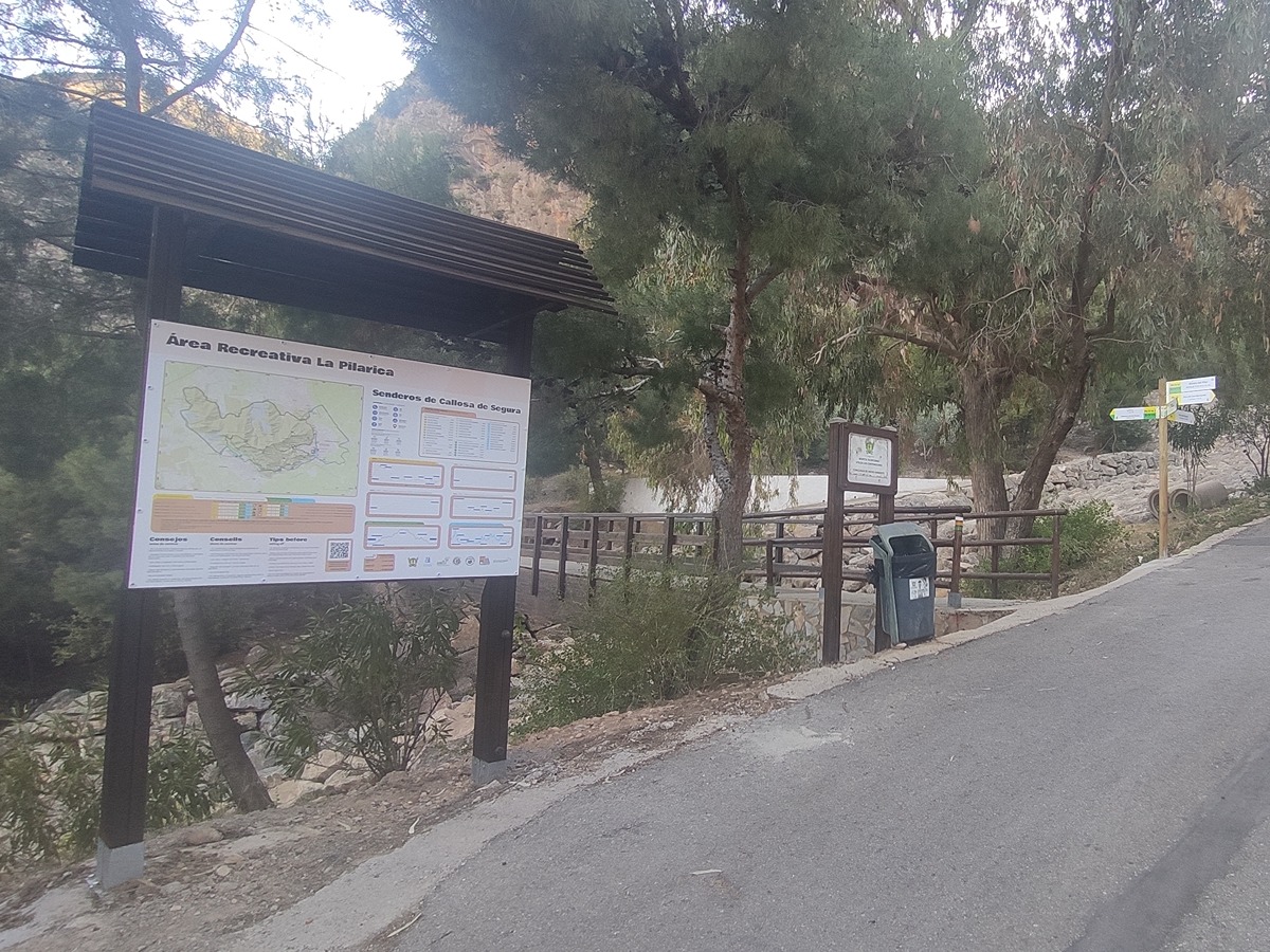
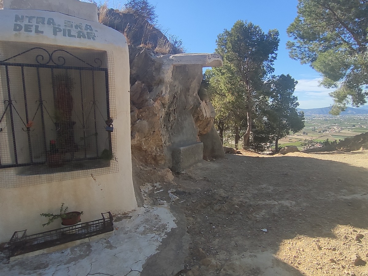
From the recreational area of Virgen de la Salud chapel, this trail crosses the municipalities of Redován, Callosa de Segura and Cox, connecting natural spaces that are home to environmental elements of great singularity.
Other trails connecting with this trail
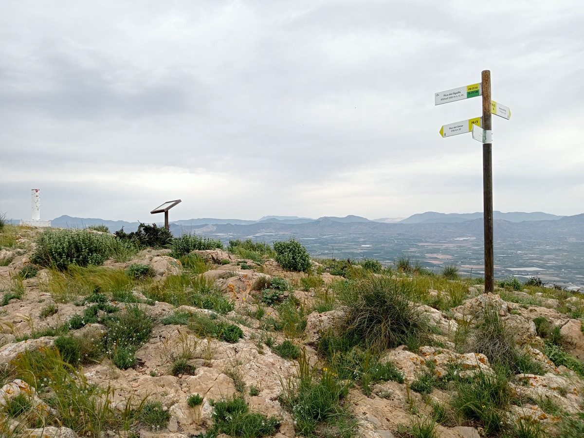
PR-CV 54 SIERRA DE CALLOSA DE SEGURA
Promoter: Ayuntamiento de Callosa de Segura y Club Amigos de la Sierra
Certification status: Positive quality control
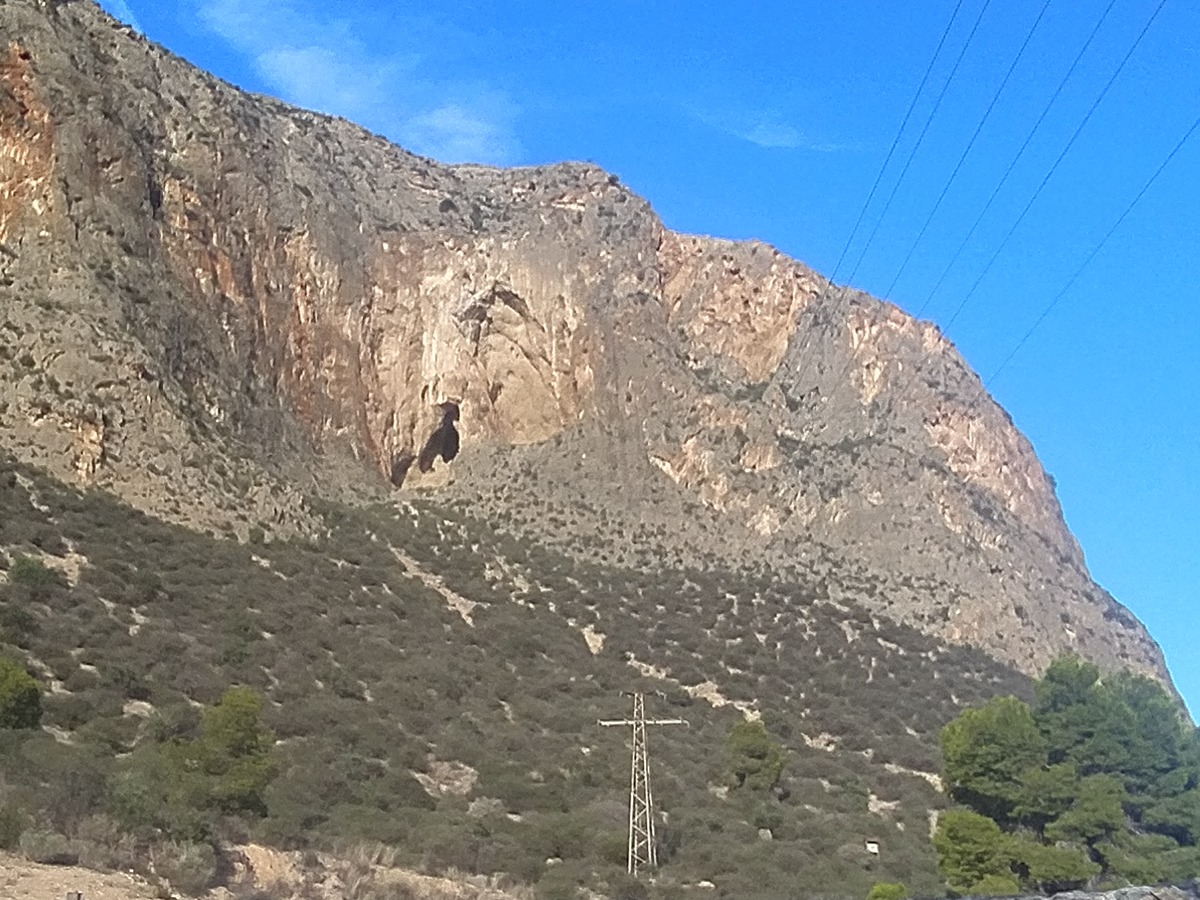
PR-CV 54.3 CUEVA AHUMADA
Promoter: Ayuntamiento de Callosa de Segura y Club Amigos de la Sierra
Certification status: Positive quality control
PR-CV 59 SIERRA DE ORIHUELA
Promoter: Club Amigos de la Sierra y Grupo Oriolano de Montañismo
Certification status: No quality controls
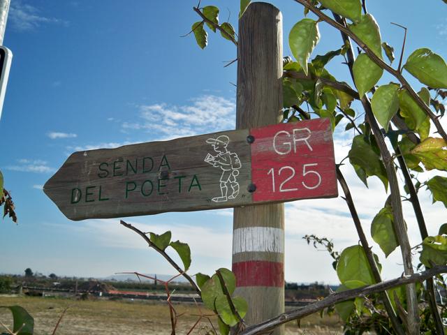
GR 125 SENDA DEL POETA MIGUEL HERNÁNDEZ
Promoter: Fundación Cultural Miguel Hernández
Certification status: Negative quality control
SL-CV 146 LOS COLORAOS
Promoter: Ayuntamiento de Redován
Certification status: Positive quality control