Rate this trail

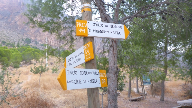
PR-CV 59 SIERRA DE ORIHUELA

Promoter: Club Amigos de la Sierra y Grupo Oriolano de Montañismo

Certification status: No quality controls

0 reviews

There is no proof of quality control on the record of this trail in the last years. For this reason, it is unknown whether it complies with the optimal signage and maintenance conditions for hikers to take the trail following these signs exclusively.
Hikers have to take into consideration that the information about the signage and maintenance of the trails for which the promoter entity is responsible might not be up to date anymore, since it refers to its state on the date of its approval. Furthermore, mountain sports entail risks associated with the activity itself and the environment where they take place, for which any person is fully liable. For this reason, hikes need to be planned properly and adequate training, equipment and sensible use of the trails are required.

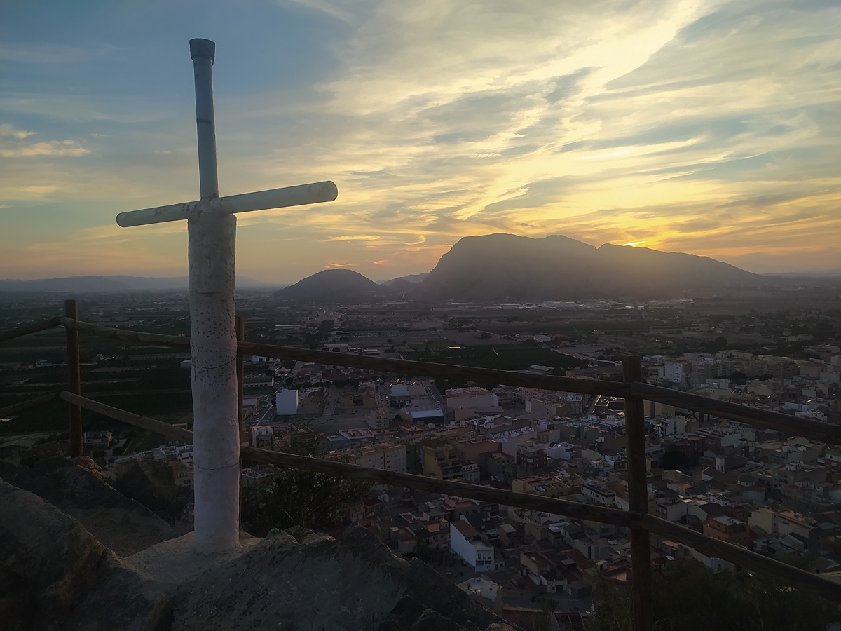
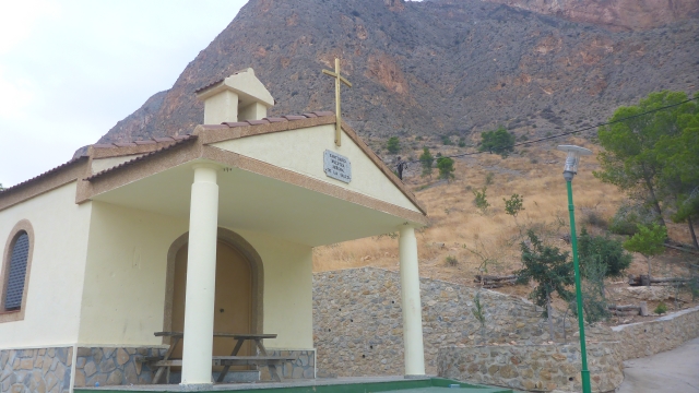
This trail runs through the entire Sierra de Orihuela, a mountain range between the provinces of Alicante and Murcia, of high ecological and environmental value, making it an exceptional place for hiking.

Trail:
One way (point-to-point)
Technical data:
Length:
17,00 km
Estimated walking time:
06:15:00
Elevation gain:
955 m
Elevation loss:
990 m
MIDE ratings:
Level of natural risks:
2
Navigation on the trail:
2
Hiking difficulty:
2
Fitness level needed:
4

More information on Montaña Segura

Difficulty rating according to FEDME:
Unknown
Starting point:
Useful information:
Date of certification:
27-01-2001
Date of the act of registration in the Public Register:
22-05-2007
Reference municipality:
Otros municipios por los que transcurre:
Province:
Alicante/Alacant
Cartography IGN MTN25:
0913-2; 0914-4

Downloadable from the Catalogue of the IGN Map Library

Protected Natural Spaces:

We advise you to look up the regulations and/or authorisations for using the trails in these conservation areas on the website of the Conselleria de Medio Ambiente, Agua, Infraestructuras y Territorio

  • Rincón de Bonanza (Flora Micro-reserve)
  • Serres del Sud d'Alacant (SPAB - Special Protection Area for Birds)
  • Sierra de Orihuela (SIC - Site of Community Interest)
Key points of the route:

Ermita de la Salud (chapel) - Cruz de la Muela (cross) - Los Agujeros - Peña de Orihuela (peak) - Collado del Puerto (col) - Raiguero de Levante

Route description (only available in Spanish)

Desde la Ermita de la Salud de Redován cruzamos la localidad por el barrio de la Cruz y salir por el camino de Fortuna. Cruzamos la N-340 y la CV-930 para remontar por el barranco de Muladar hasta la senda la de Cruz de la Muela, que seguimos por la izquierda hasta la base de la cima (463 msnm).Seguimos la senda. Dejamos el enlace de la variantes PR-CV 59.1 y PR-CV 59.7 en la zona conocida como los Agujeros, paso que nos obligará a usar las manos en alguna ocasión. La senda sigue por la solana Después de caminar un buen rato por la Solana del Coto llegamos a un cruce junto a un collado, donde encontramos el enlace con el PR-CV 59.2 a la altura del barranco de a Senda. Nosotros continuaremos sin abandonar el sendero principal.Ante de llegar al Cabezo Lodroño, en el bancalico de Diego, dejamos el PR-CV 59.3 que baja al Pinar de Bonanza,  y la subida a la Peña de Orihuela (634msnm) punto más alto de la sierra (tramo ida y vuelta).Descendemos hacia el collado del Puerto, punto de encuentro con el PR-CV 59.5 hacia Raiguero de Poniente. Nosotros seguimos por la izquierda descendiendo y, poco a poco, se abre la rambla. Pasamos la casa de los Tomasos para entrar en Raiguero de Levante y llegar a la N-340 final del recorrido principal. 

Downloads:

Beware! Navigation devices may fail, batteries may run out of power and devices may break down. Do not use only electronic means to track your activities in the mountains; they must be used as a complement to the map and compass. Get some proper training and enjoy the mountains.

Alternative routes and routes leading to nearby points of interest

Other trails connecting with this trail
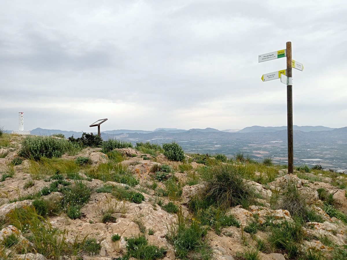