
SL-CV 146 LOS COLORAOS
Promoter: Ayuntamiento de Redován
Certification status: Positive quality control
1 review
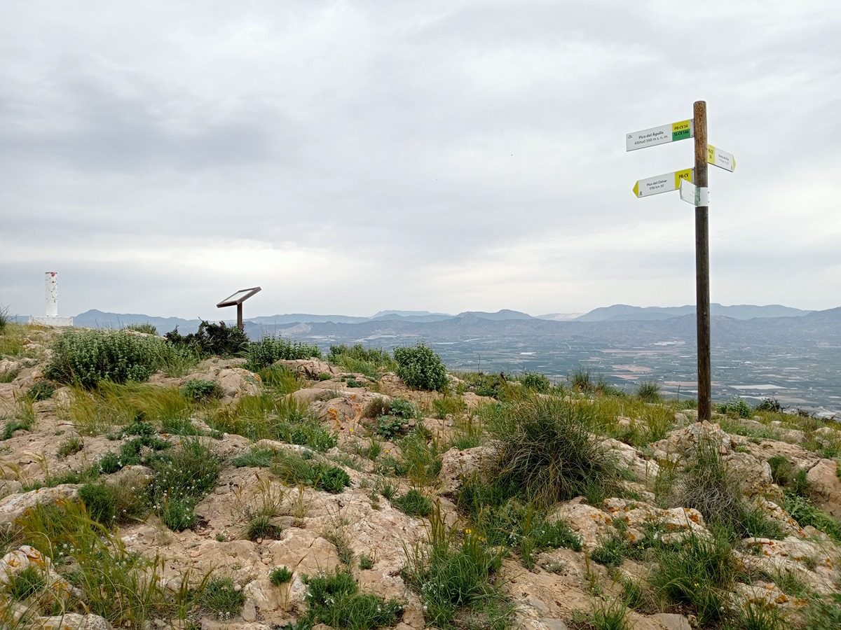
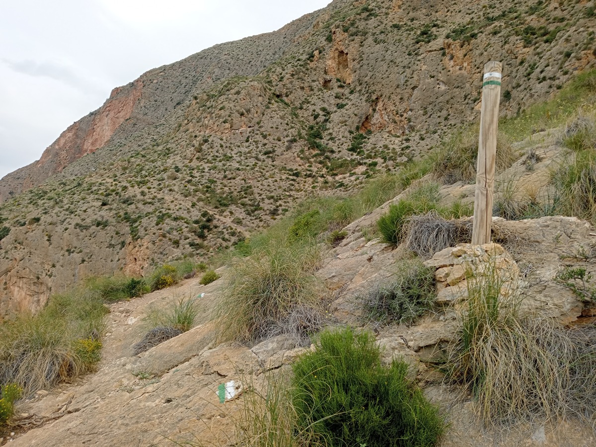
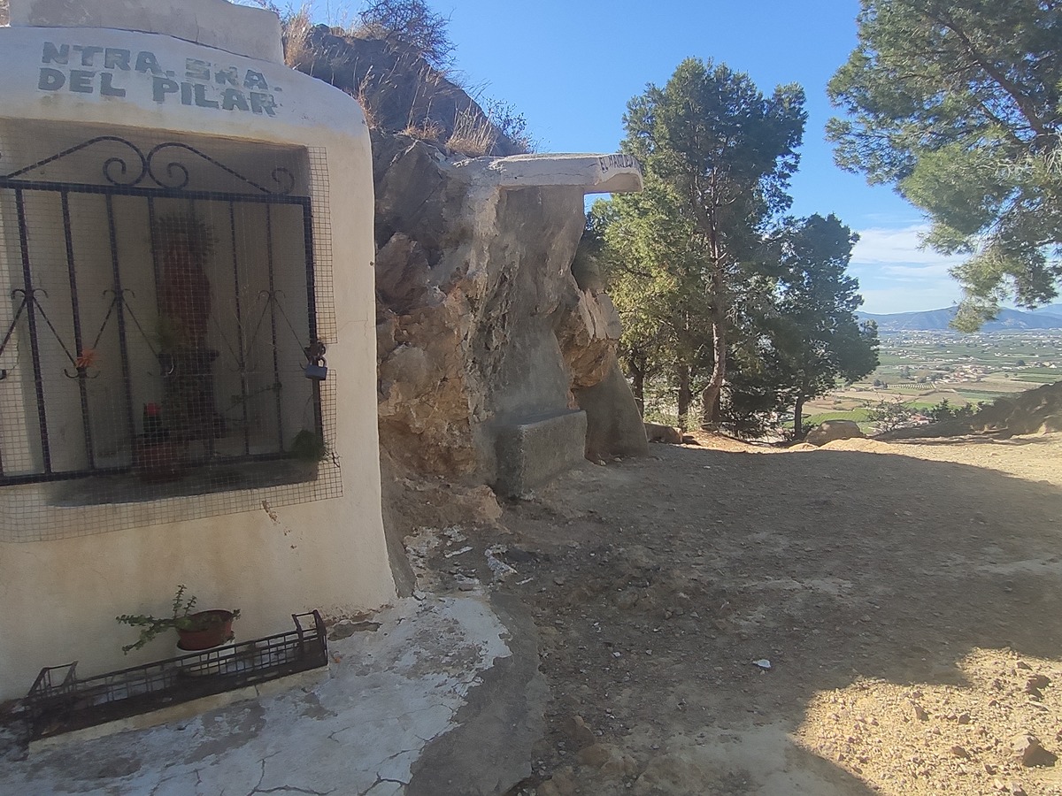
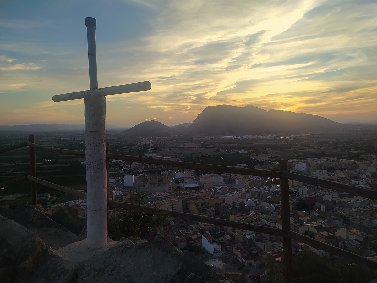
Following an old shepherds' path used to take their livestock to the higher parts of the range, this trail runs through the sierra of Redován, from the foothills closest to the town until it reaches its highest point at the peak of El Águila.
Trail:
One way (point-to-point)
Other trails connecting with this trail
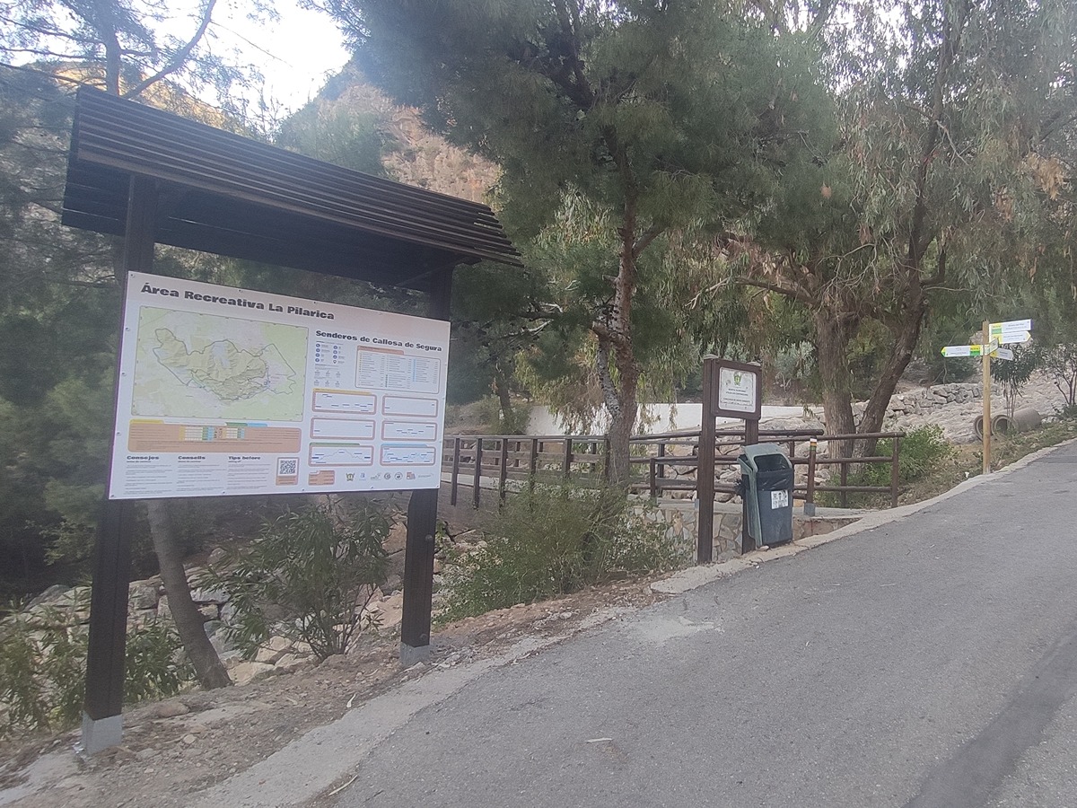
PR-CV 54 SIERRA DE CALLOSA DE SEGURA
Promoter: Ayuntamiento de Callosa de Segura y Club Amigos de la Sierra
Certification status: Positive quality control
Reference municipality: Callosa de Segura
Length: 16,00 km
Estimated walking time: 07:20:00
Elevation gain: 975 m
Elevation loss: 975 m
(0)
PR-CV 54.3 CUEVA AHUMADA
Promoter: Ayuntamiento de Callosa de Segura y Club Amigos de la Sierra
Certification status: Positive quality control
Reference municipality: Callosa de Segura
Length: 7,00 km
Estimated walking time: 02:45:00
Elevation gain: 565 m
Elevation loss: 450 m
(0)
PR-CV 59 SIERRA DE ORIHUELA
Promoter: Club Amigos de la Sierra y Grupo Oriolano de Montañismo
Certification status: No quality controls
Reference municipality: Orihuela
Length: 17,00 km
Estimated walking time: 06:15:00
Elevation gain: 955 m
Elevation loss: 990 m
(0)
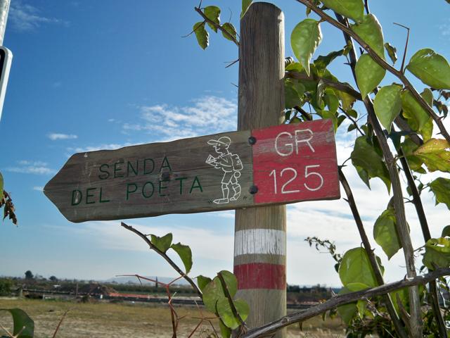
GR 125 SENDA DEL POETA MIGUEL HERNÁNDEZ
Promoter: Fundación Cultural Miguel Hernández
Certification status: Negative quality control
Reference municipality: Orihuela
(0)
PR-CV 441 MIRADOR DE LA VEGA
Promoter: Consorcio para el Desarrollo Económico de la Vega Baja
Certification status: No quality controls
Reference municipality: Redován
Length: 20,60 km
Estimated walking time: 06:35:00
Elevation gain: 685 m
Elevation loss: 685 m
(2)