Rate this trail

PR-CV 447 LA HUERTA DE LA VEGA

Promoter: Consorcio para el Desarrollo Económico de la Vega Baja

Certification status: Conditioned quality control

0 reviews

Following the inspection carried out by trail technicians, this trail has been declared of "limited adequacy" as a result of the faults detected in the signage. These include inadequate horizontal signs (paint markers) and/or vertical ones (trailheads and information boards) or lacking direction markers that do not provide sufficient information to properly follow the route. The builder of this trail has been informed of the situation.
For safety reasons and during maintenance work, it is advised to be extremely careful while taking this route. Furthermore, mountain sports entail risks associated with the activity itself and the environment where they take place, for which any person is fully liable. For this reason, hikes need to be planned properly and adequate training, equipment and sensible use of the trails are required.

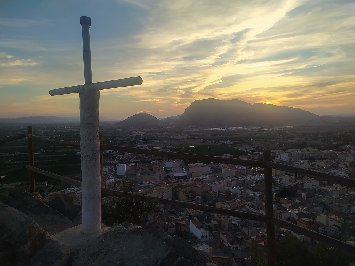
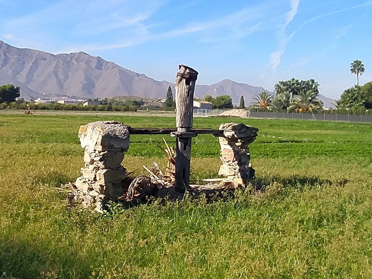
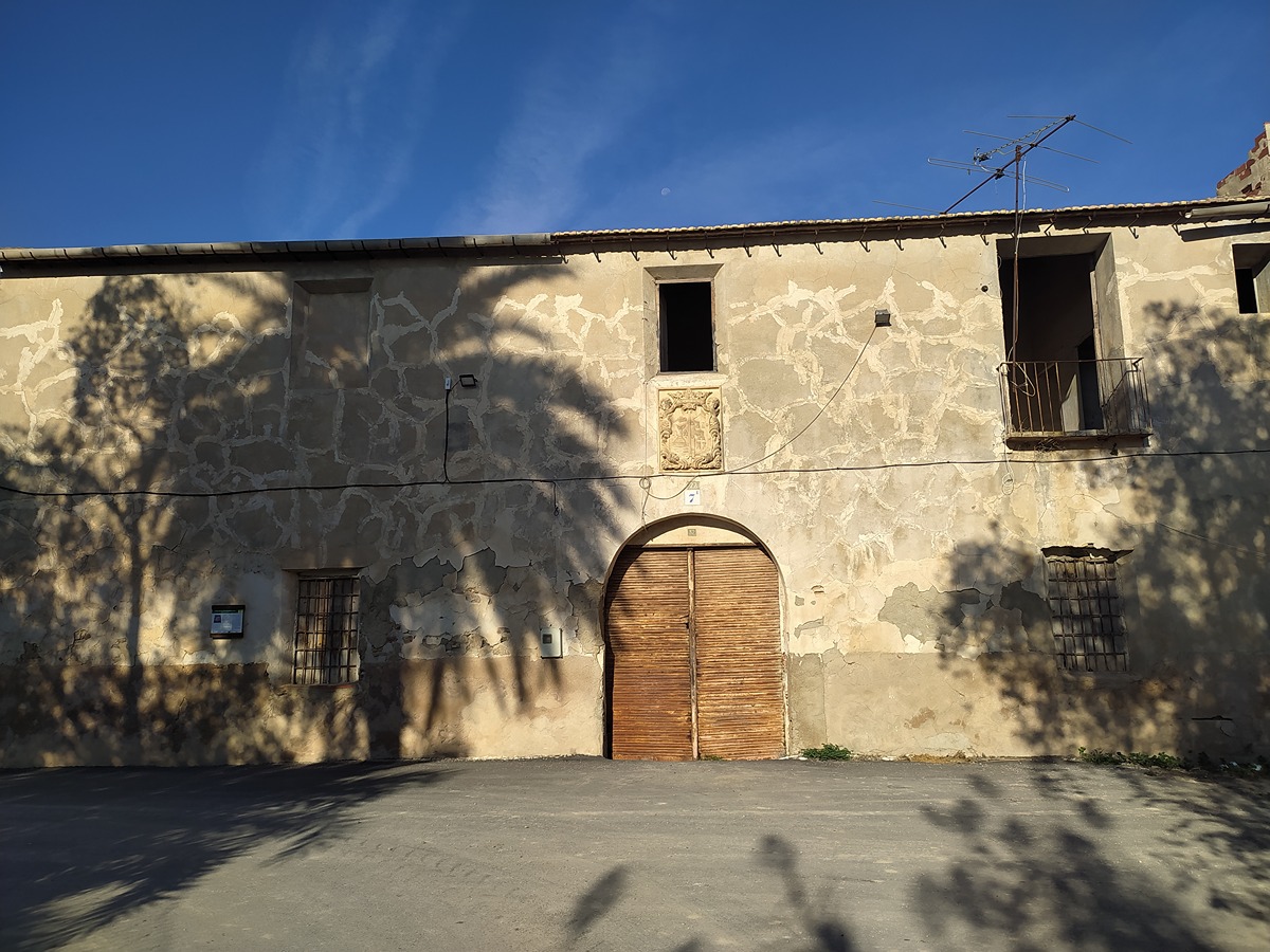
This route allows you to appreciate the uniqueness of this area of cultivation, which forms a cultural, socio-economic and environmental landscape that has been maintained over the centuries thanks to the work of several generations. It also allows you to contemplate the typical agricultural huertano constructions, as well as the heritage of the network of irrigation channels, irrigation ditches and waterwheels that make up the traditional irrigation system of the region.

Trail:
Loop
Technical data:
Length:
14,00 km
Estimated walking time:
03:35:00
Elevation gain:
45 m
Elevation loss:
45 m
MIDE ratings:
Level of natural risks:
1
Navigation on the trail:
2
Hiking difficulty:
2
Fitness level needed:
3

More information on Montaña Segura

Difficulty rating according to FEDME:
Unknown
Useful information:
Date of certification:
15-08-2016
Date of the last Quality Control:
november de 2023
Reference municipality:
Otros municipios por los que transcurre:
Cox
Province:
Alicante/Alacant
Cartography IGN MTN25:
0913-2

Downloadable from the Catalogue of the IGN Map Library

See other trails of this promoter:
Key points of the route:

Granja de Rocamora - Plaza iglesia de San Pedro (Church Square) - Castillo de Santa Bárbara (fort) - Molino Macho (Mill) - Culebra Palm Tree - Torre Mora (tower) - Granja de Rocamora

Route description (only available in Spanish)

Salimos de la ermita de la Santa Cruz en la Granja de Rocamora, pasamos por la iglesia de San Pedro y buscamos la Av. presidente Adolfo Suárez. Giramos a la izquierda siguiendo la avenida y la acequia de Cox y salimos de la población buscando el camino de las Motas, que dejamos cogiendo un camino a la derecha para ir a buscar la vereda de la Colonia y el camino de la Almarjaleta.

Cuando llegamos a la casa de la Almarjaleta buscamos el camino de la Cartagena, pasando junto a la casa de las Pepillas y siguiendo hasta la casa de lo Franco, donde giramos a la derecha buscando la casa de Pedro Aleo, de Córdoba, de los Quinos, de lo Mortalo, del Murciano hasta coger el camino de Catral que seguimos hasta la rotonda, donde, sin cruzar la CV-900, la seguimos hasta coger el camino del Mojón, donde cruzamos la CV-900 en dirección a Cox.

Recorremos Cox pasando por la iglesia de San Juan, el barrio del Pilar, el barrio de la Cruz, para después de callejear por Cox, llegar a la plaza de la Glorieta. Desde aquí nos dirigimos a la rotonda del Brazal de la Bailarina y continuamos por la sendica de Albatera hasta llegar a una rotonda junto a la Granja de Rocamora que nos lleva de nuevo al inicio del sendero.

Downloads:

Beware! Navigation devices may fail, batteries may run out of power and devices may break down. Do not use only electronic means to track your activities in the mountains; they must be used as a complement to the map and compass. Get some proper training and enjoy the mountains.

Comments:

Other trails connecting with this trail
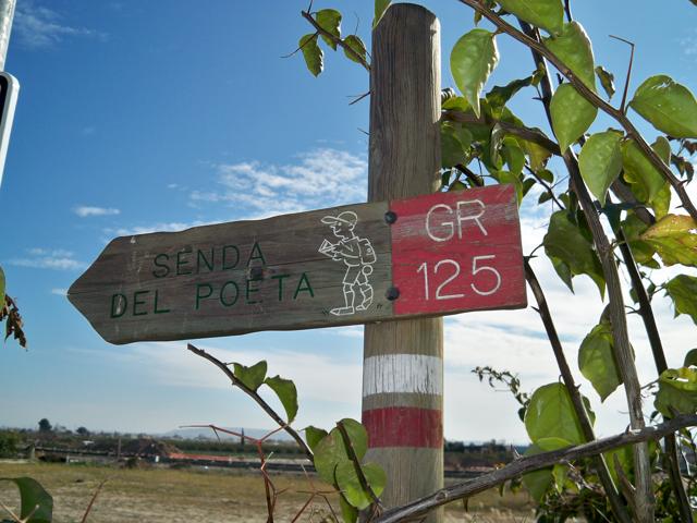