Rate this trail

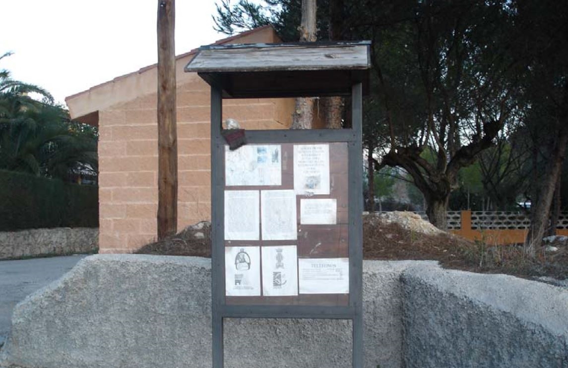
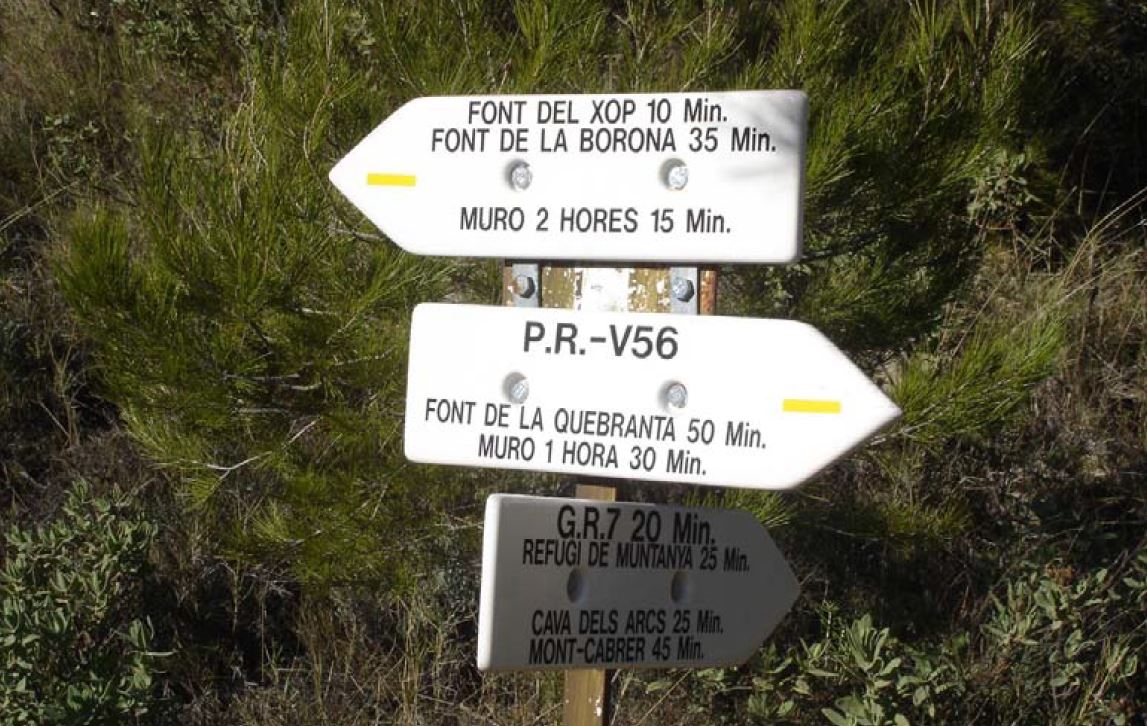
PR-CV 56 MURO D'ALCOI - RACÓ LLOBET

Promoter: Centre Excursionista de Muro d'Alcoi

Certification status: Positive quality control

1 review

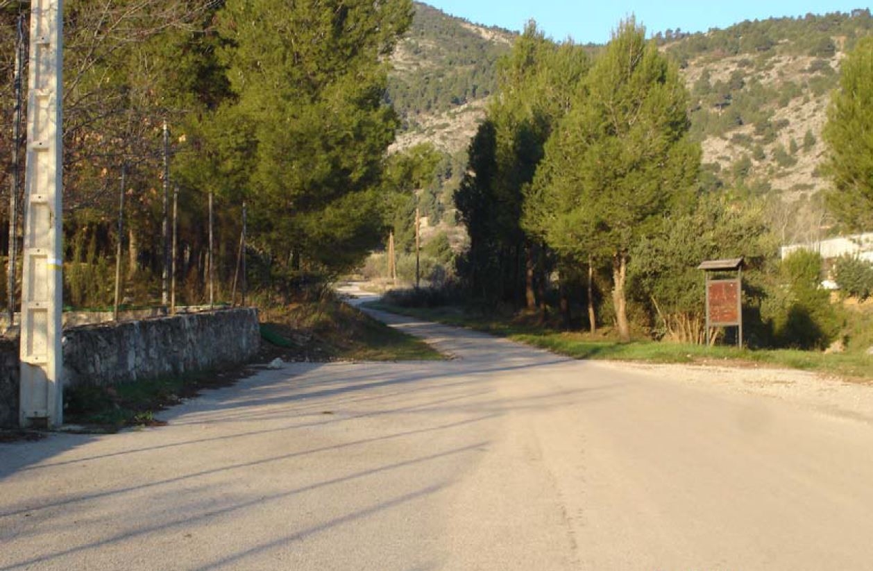
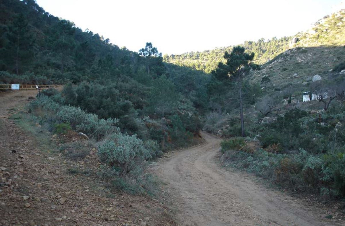
This trail runs along much of the eastern slope of the Mariola mountain range, always at the foot of Montcabrer. It will make you discover interesting places in this parts of the mountain range passing by springs such as Borona and Xop, before returning to the pla del Comtat after having enjoyed all the views of the region from the heights of the Mariola mountain range.

Trail:
Loop
Technical data:
Length:
13,60 km
Estimated walking time:
04:55:00
Elevation gain:
715 m
Elevation loss:
715 m
MIDE ratings:
Level of natural risks:
2
Navigation on the trail:
2
Hiking difficulty:
2
Fitness level needed:
3

More information on Montaña Segura

Difficulty rating according to FEDME:
Unknown
Interest Tags:
Trail with environmental interes
Trail with geological interest

Useful information:
Date of certification:
15-10-1998
Date of the act of registration in the Public Register:
22-05-2007
Date of the last Quality Control:
june de 2022
Reference municipality:
Otros municipios por los que transcurre:
District:
Province:
Alicante/Alacant
Cartography IGN MTN25:
0821-1

Downloadable from the Catalogue of the IGN Map Library

See other trails of this promoter:
Protected Natural Spaces:

We advise you to look up the regulations and/or authorisations for using the trails in these conservation areas on the website of the Conselleria de Medio Ambiente, Agua, Infraestructuras y Territorio

  • Sierra de Mariola (Natural Park)
  • Sierra de Mariola y Carrascal de la Font Roja (SPAB - Special Protection Area for Birds)
  • Sierra de Mariola y Carrascar de la Font Roja (SIC - Site of Community Interest)
Key points of the route:

Civil protection centre - La Plana Tennis Club - Cantal Badat (boulder) - Mas del Racó Llobet (estate) - Font de la Borona (spring) - L'Escorrupènia - Caseta de Grutonia (estate) - Área de descanso La Querola (rest area) - Civil protection centre

Route description (only available in Spanish)

Empezamos en el centro de Protección Civil de Muro para atravesar la urbanización de la Plana y el Racó de Puig buscando la vertiente Este de la sierra de Mariola y las faldas del Montcabrer. Subimos por el camino de la Quebrantà hasta encontrar, en una senda que bordea la pista, la fuente homónima y el cantal Badat. Seguimos ascendiendo por pista y senda hasta descubrir el Racó de Llobet, con su fuente y su masía de montaña. Estamos a 1065 m de altitud, el punto más alto de nuestra ruta. Ahora la pista baja suavemente entre el bosque de pinos, carrascas y fresnos pasando por la font del Xop y la font de la Borona. La pista empieza ahora un zigzag en fuerte descenso buscando el barranco de l’Escorrupènia para enlazar con una senda en la sombra del espeso bosque hasta llegar al área de descanso de la Querola y, por el camino del mismo nombre hacer unos metros hasta encontrar el camino de las Llorences que deja de nuevo en el punto de inicio.

Downloads:

Beware! Navigation devices may fail, batteries may run out of power and devices may break down. Do not use only electronic means to track your activities in the mountains; they must be used as a complement to the map and compass. Get some proper training and enjoy the mountains.