
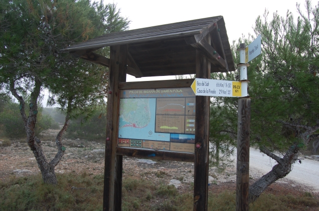

PR-CV 61 SIERRA DE SANTA POLA
Promoter: Ayuntamiento de Santa Pola
Certification status: Positive quality control
0 reviews
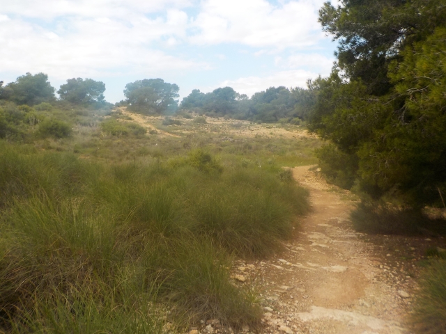
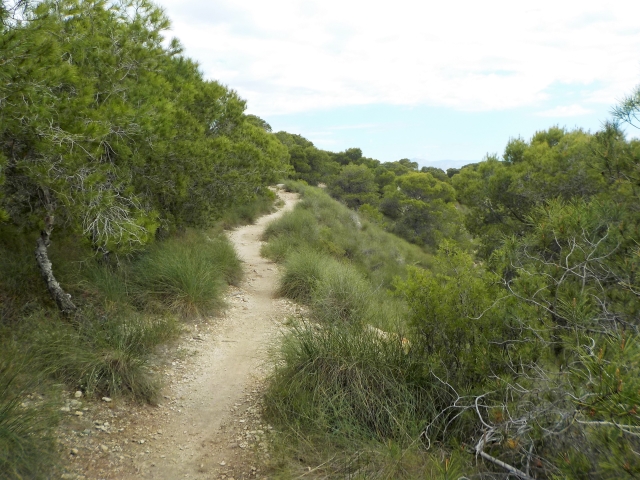
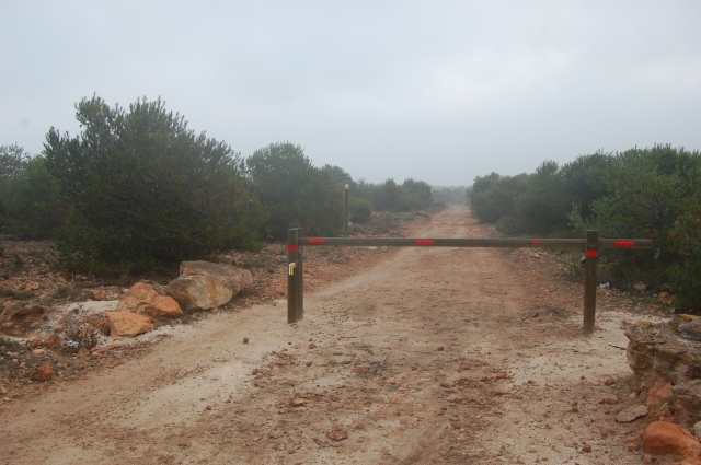
Trail:
Loop