Rate this trail

SL-CV 104 SENDA DEL CASTILLO

Promoter: Ayuntamiento de Montanejos

Certification status: Positive quality control

0 reviews
Trail:
One way (point-to-point)
Technical data:
Length:
2,00 km
Estimated walking time:
00:50:00
Elevation gain:
250 m
Elevation loss:
Unknown
MIDE ratings:
Level of natural risks:
1
Navigation on the trail:
2
Hiking difficulty:
2
Fitness level needed:
1

More information on Montaña Segura

Difficulty rating according to FEDME:
Unknown
Starting point:
Useful information:
Date of certification:
15-04-2008
Date of the act of registration in the Public Register:
20-10-2015
Date of the last Quality Control:
july de 2018
Reference municipality:
District:
Province:
Castellón/Castelló
Cartography IGN MTN25:
0614-4; 0615-3

Downloadable from the Catalogue of the IGN Map Library

See other trails of this promoter:
Protected Natural Spaces:

We advise you to look up the regulations and/or authorisations for using the trails in these conservation areas on the website of the Conselleria de Medio Ambiente, Agua, Infraestructuras y Territorio

  • Curso Alto del río Mijares (SIC - Site of Community Interest)
  • Sierra de Espadán (SPAB - Special Protection Area for Birds)
Key points of the route:

Pont de San José (bridge) - End of track start of path - Castillo de la Alquería (fort) and fort chapel

Route description (only available in Spanish)

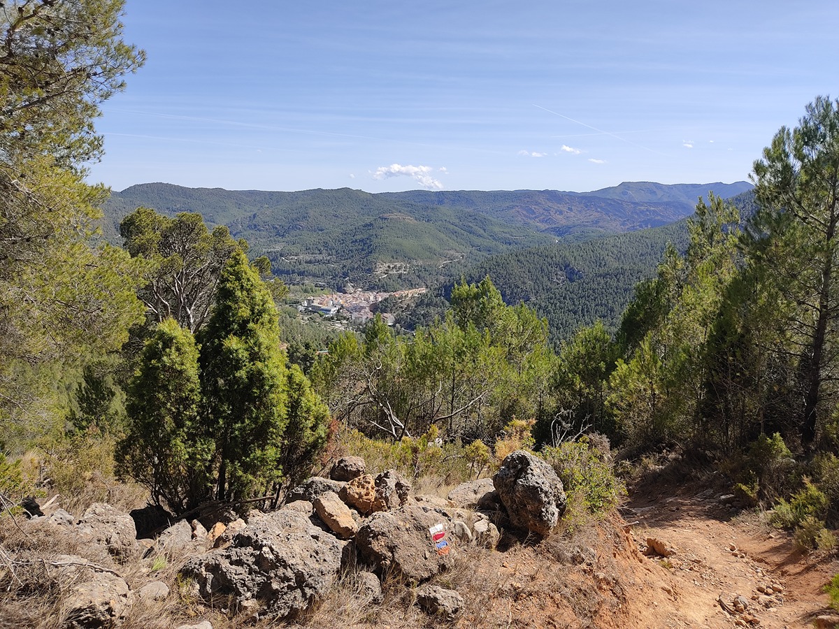
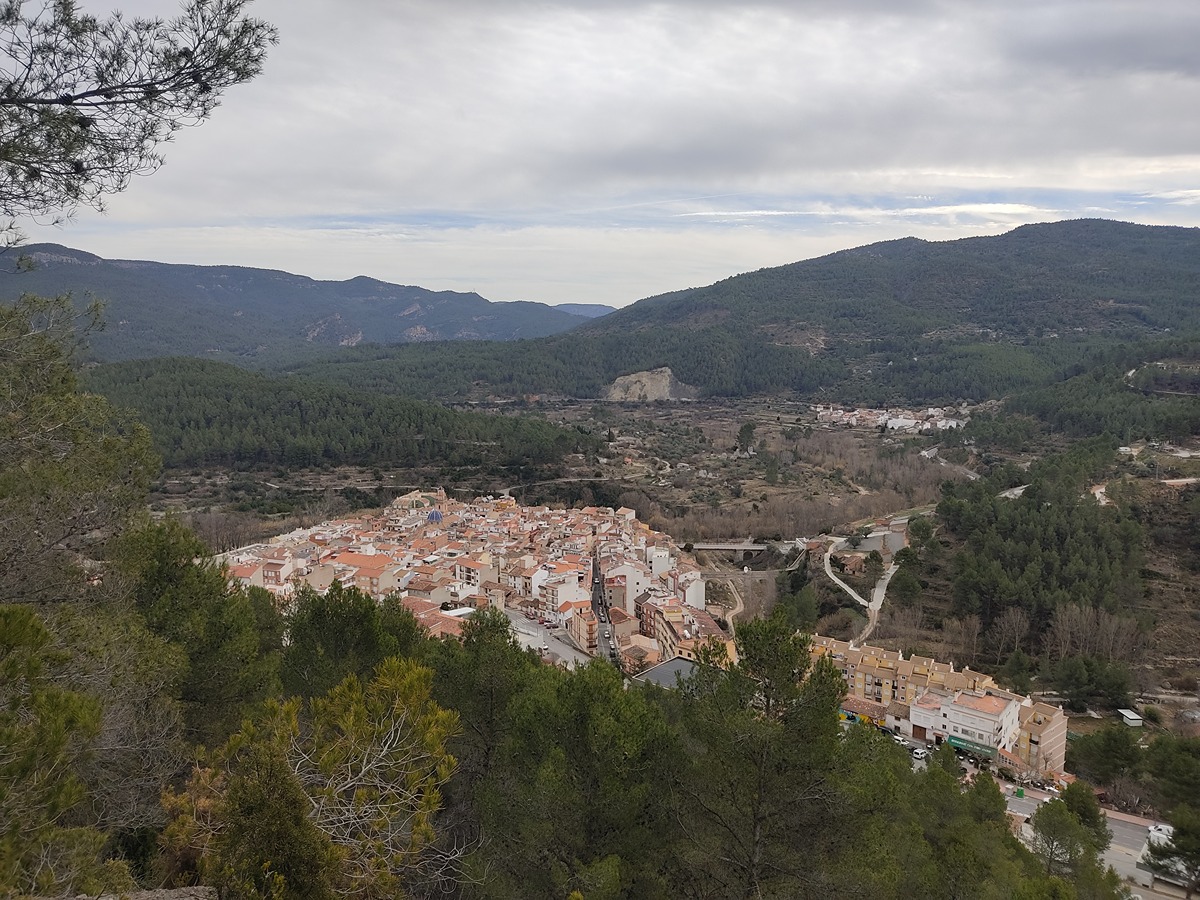
El sendero empieza pasado el puente de San José, al que llegaremos desde la plaza de la Iglesia, bajando por la calle San Vicente hasta la calle Santa Bárbara, desde aquí tomamos el primer desvío a la derecha donde encontraremos el puente. Empezamos por el caminito que sale del puente y, después de pasar unos corrales, llegamos a una pista donde encontramos el cruce de los GR 36 y GR 160. Nosotros tenemos que coger la pista de la izquierda que entre pequeños bancales de olivos nos aproxima a un desvío señalizado que sale a la derecha. Esta pista cementada hace un giro y empieza a ascender. Cuando esta empieza a hacer una curva muy pronunciada en pendiente vemos frente a nosotros una senda por la cual nos desviaremos. Esta senda remonta la vertiente del cerro. Podemos ver que todavía conserva parte de su empedrado. Cuando nos encontramos próximos en el collado, la senda cambia el rumbo y asciende en un zigzag poco pronunciado hasta llegar al alto del cerro. Pasamos ante los pocos vestigios que quedan, como son el aljibe y los restos de dos torres del castillo, hasta llegar al final del sendero, donde encontramos un excelente punto panorámico.

Downloads:

Beware! Navigation devices may fail, batteries may run out of power and devices may break down. Do not use only electronic means to track your activities in the mountains; they must be used as a complement to the map and compass. Get some proper training and enjoy the mountains.

Other trails connecting with this trail