
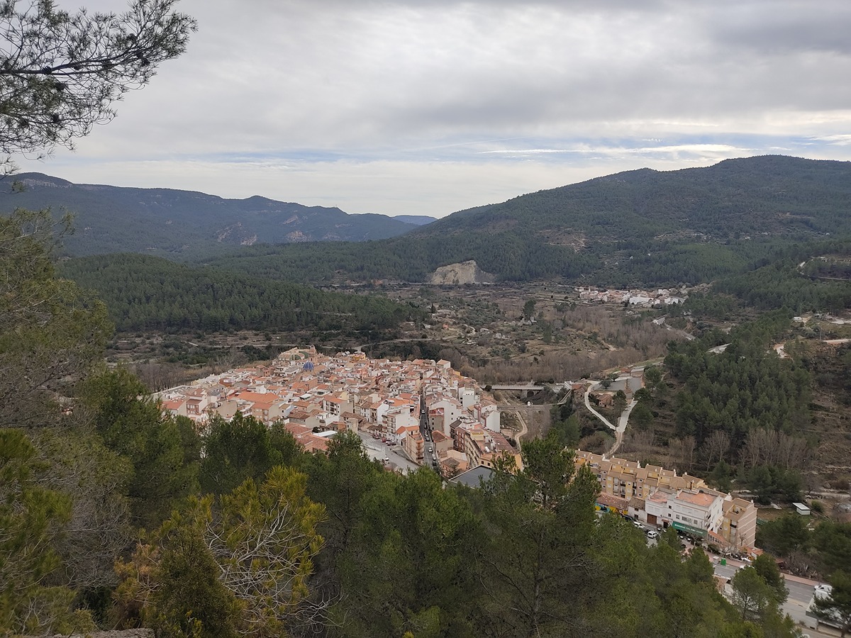
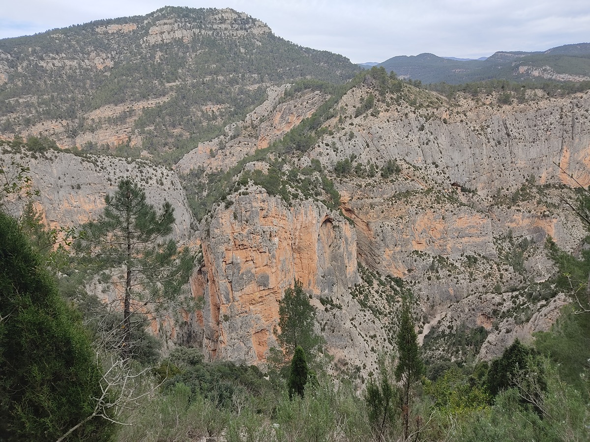
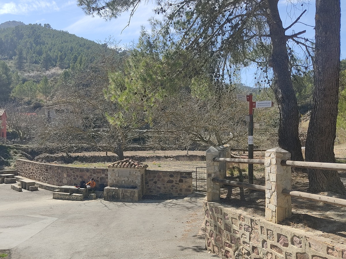
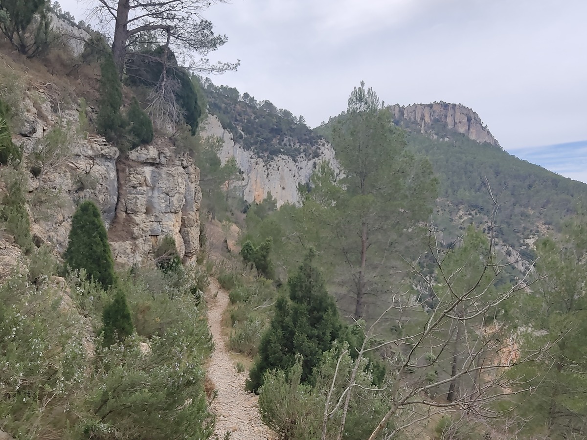
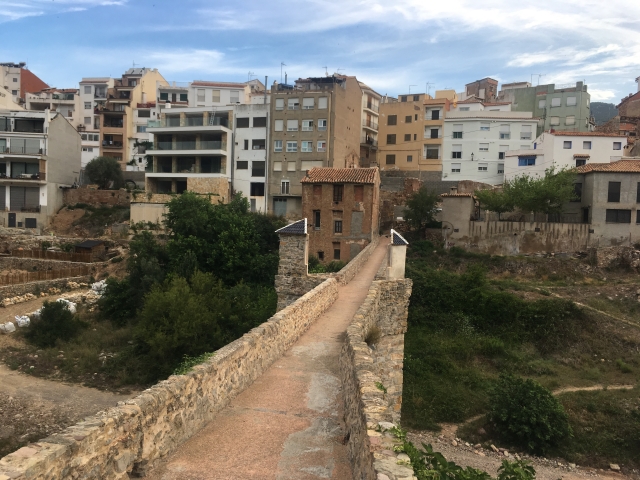
GR 7 E33 MONTANEJOS - MAS DE NOGUERA
Promoter: Generalitat Valenciana
Certification status: Positive quality control
0 reviews
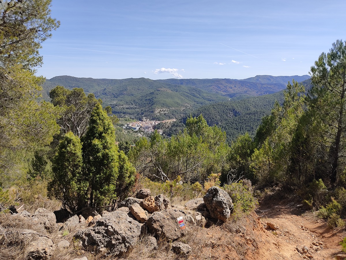
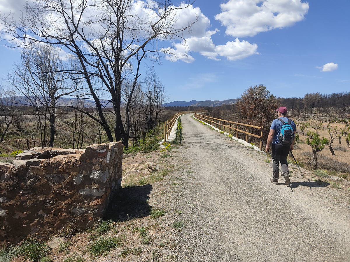
Great mountainous route despite the heartbreaking landscape as a result of the fire that devastated part of the route, mainly in the towns of Montanejos and Montán.
Trail:
One way (point-to-point)
Main

GR 7 COMUNITAT VALENCIANA. FREDES - EL PINÓS/PINOSO
Promoter: Generalitat Valenciana
Certification status: See stages
Reference municipality: Pobla de Benifassà (La)
Length: 586,60 km
Estimated walking time: 180:35:00
Elevation gain: 17.635 m
Elevation loss: 18.585 m
(0)
Previos stage
GR 7 E32 SAN VICENTE DE PIEDRAHITA - MONTANEJOS
Promoter: Generalitat Valenciana
Certification status: Positive quality control
Etapa número: 32
Reference municipality: Cortes de Arenoso
Length: 14,50 km
Estimated walking time: 05:05:00
Elevation gain: 540 m
Elevation loss: 925 m
(0)
Next stage
GR 7 E34 MAS DE NOGUERA - BEJÍS
Promoter: Generalitat Valenciana
Certification status: Positive quality control
Etapa número: 34
Reference municipality: Caudiel
Length: 20,60 km
Estimated walking time: 06:05:00
Elevation gain: 415 m
Elevation loss: 510 m
(0)
Other trails connecting with this trail

GR 36 SIERRA DE ESPADÁN
Promoter: Parque Natural de la Sierra de Espadán
Certification status: See stages
Reference municipality: Vilavella (La)
Length: 60,10 km
Estimated walking time: 19:20:00
Elevation gain: 2.815 m
Elevation loss: 2.200 m
(1)
PR-CV 62 MAS DE NOGUERA - PINA DE MONTALGRAO
Promoter: Ayuntamiento de Pina de Montalgrao
Certification status: No quality controls
Reference municipality: Pina de Montalgrao
Length: 8,00 km
Estimated walking time: 02:40:00
Elevation gain: 375 m
Elevation loss: 215 m
(0)
PR-CV 63.3 SIERRA ESPINA
Promoter: Mancomunidad Alto Palancia
Certification status: Negative quality control
Reference municipality: Barracas
Length: 22,20 km
Estimated walking time: 07:45:00
Elevation gain: 845 m
Elevation loss: 1.270 m
(0)
PR-CV 63.4 ANTONIO PONZ. DE PINA A MATET
Promoter: Mancomunidad Alto Palancia
Certification status: Negative quality control
Reference municipality: Pina de Montalgrao
Length: 27,80 km
Estimated walking time: 06:35:00
Elevation gain: 330 m
Elevation loss: 775 m
(0)
SL-CV 104 SENDA DEL CASTILLO
Promoter: Ayuntamiento de Montanejos
Certification status: No quality controls
Reference municipality: Montanejos
Length: 2,00 km
Estimated walking time: 00:50:00
Elevation gain: 250 m
(0)
Reference municipality: Montanejos
Length: 16,40 km
Estimated walking time: 05:55:00
Elevation gain: 870 m
Elevation loss: 845 m
(1)
GR 160 E02 PUEBLA DE ARENOSO – MONTANEJOS
Promoter: O.A.L. Patronato Provincial de Turismo de Castellón
Certification status: No quality controls
Etapa número: 2
Reference municipality: Puebla de Arenoso
Length: 14,50 km
Estimated walking time: 04:40:00
Elevation gain: 750 m
Elevation loss: 860 m
(0)
GR 160 E03 MONTANEJOS – CAUDIEL
Promoter: O.A.L. Patronato Provincial de Turismo de Castellón
Certification status: No quality controls
Etapa número: 3
Reference municipality: Montanejos
Length: 27,00 km
Estimated walking time: 07:55:00
Elevation gain: 1.135 m
Elevation loss: 970 m
(0)