
GR 36 SIERRA DE ESPADÁN
Promoter: Parque Natural de la Sierra de Espadán
Certification status: See stages
1 review
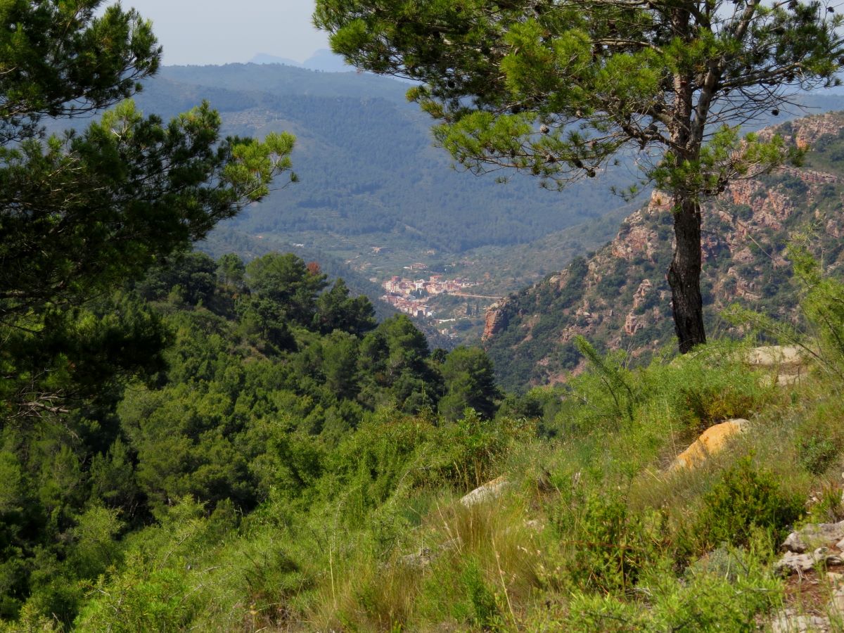
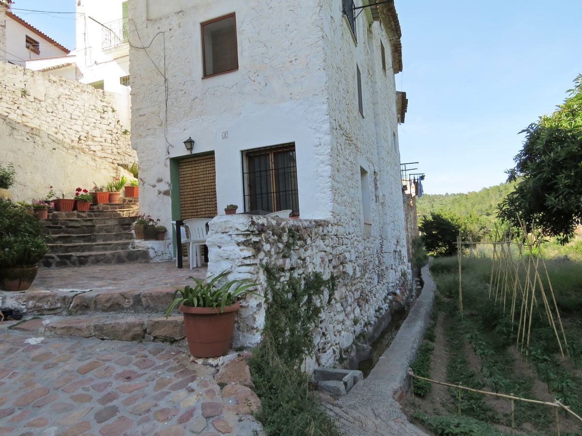
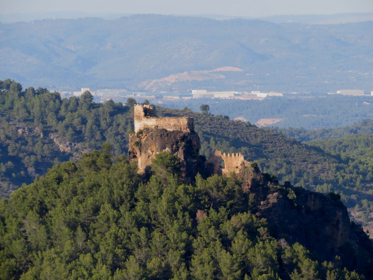
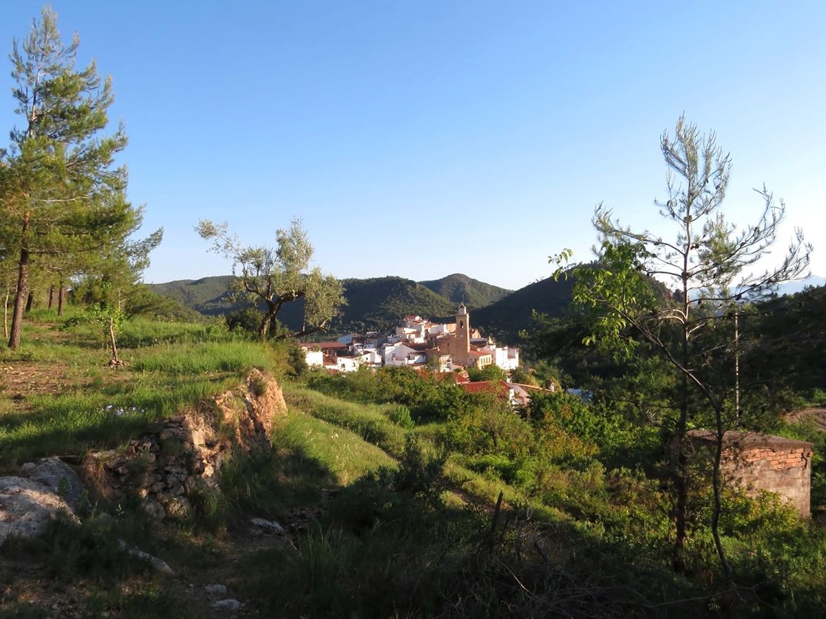
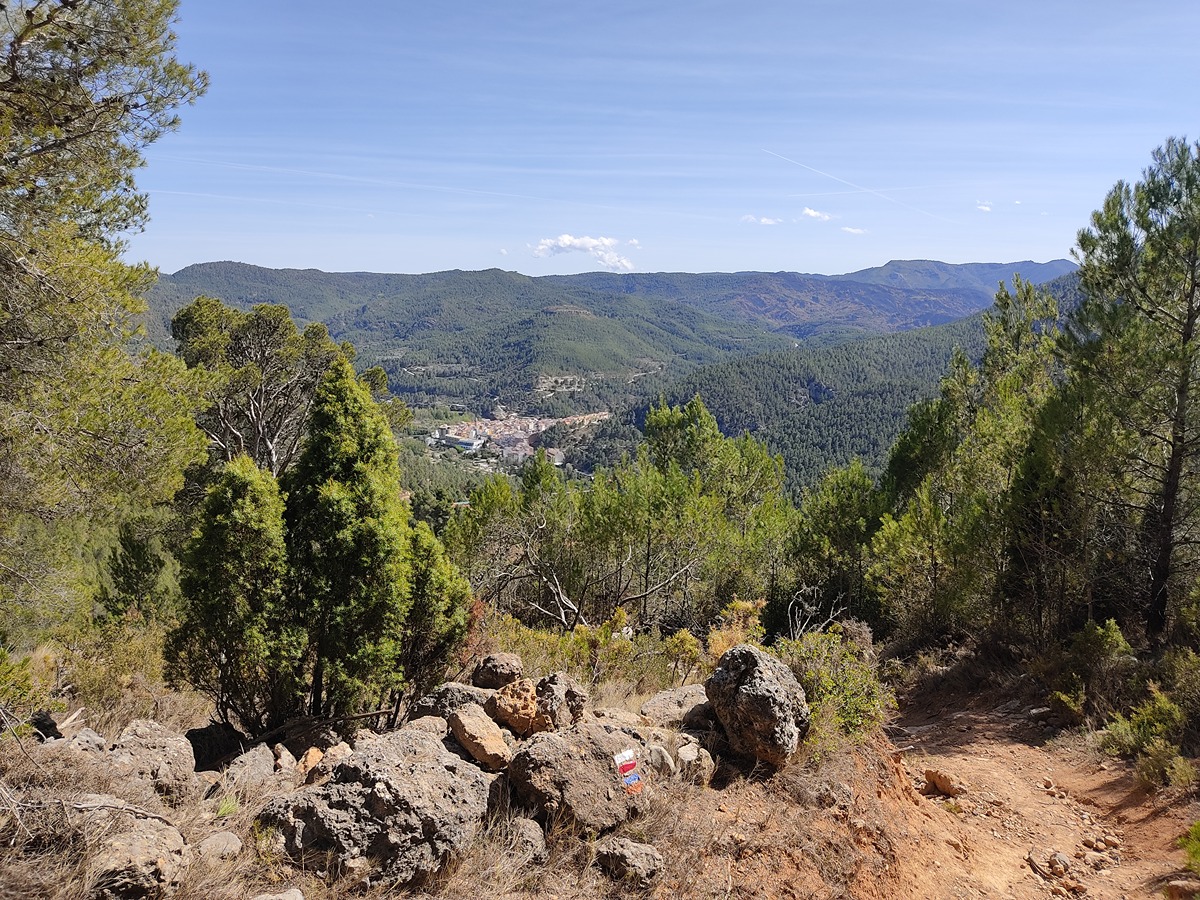
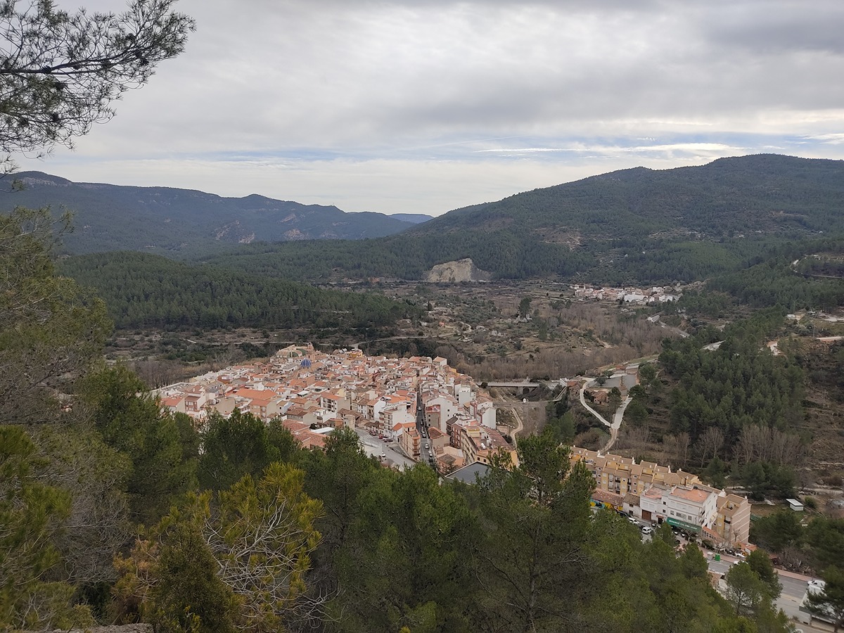
The GR 36 trail crosses the Natural Park of the Sierra de Espadán, a mountain belt, from NW to SE in the last spurs of the Iberian System. This mountain range extends between the basins of the Mijares and Palancia rivers, in the south of the province of Castellón and its highest peaks are La Rápita (1,103 m) and El Espadán (1,099 m). From La Vilavella to Montanejos, there is a total distance of more than 65 kilometres that goes through the towns of Eslida, Aín, Veo, Alcudia de Veo and Torralba del Pinar. In Montanejos there is a connection with GR 7 and with the GR 160 "Camino del Cid".
Trail:
One way (point-to-point)
Stages

GR 36 E01 LA VILAVELLA - ESLIDA
Promoter: Parque Natural de la Sierra de Espadán
Certification status: Negative quality control
Etapa número: 1
Reference municipality: Vilavella (La)
Length: 16,00 km
Estimated walking time: 05:45:00
Elevation gain: 1.015 m
Elevation loss: 735 m
(0)
GR 36 E02 ESLIDA - AÍN
Promoter: Parque Natural de la Sierra de Espadán
Certification status: Positive quality control
Etapa número: 2
Reference municipality: Eslida
Length: 7,10 km
Estimated walking time: 02:35:00
Elevation gain: 420 m
Elevation loss: 300 m
(1)
GR 36 E03 AÍN - ALCÚDIA DE VEO
Promoter: Parque Natural de la Sierra de Espadán
Certification status: Positive quality control
Etapa número: 3
Reference municipality: Ain
Length: 4,40 km
Estimated walking time: 01:35:00
Elevation gain: 200 m
Elevation loss: 245 m
(0)
GR 36 E04 ALCÚDIA DE VEO - RAMBLA DE VILLAMALUR
Promoter: Parque Natural de la Sierra de Espadán
Certification status: Conditioned quality control
Etapa número: 4
Reference municipality: Alcudia de Veo
Length: 9,30 km
Estimated walking time: 02:45:00
Elevation gain: 425 m
Elevation loss: 315 m
(0)
GR 36 E05 RAMBLA DE VILLAMALUR - TORRALBA DEL PINAR
Promoter: Parque Natural de la Sierra de Espadán
Certification status: Conditioned quality control
Etapa número: 5
Reference municipality: Villamalur
Length: 5,80 km
Estimated walking time: 02:00:00
Elevation gain: 385 m
Elevation loss: 235 m
(1)
GR 36 E06 TORRALBA DEL PINAR- MONTANEJOS
Promoter: Parque Natural de la Sierra de Espadán
Certification status: Negative quality control
Etapa número: 6
Reference municipality: Torralba del Pinar
Length: 17,50 km
Estimated walking time: 05:45:00
Elevation gain: 570 m
Elevation loss: 840 m
(0)
Other trails connecting with this trail
GR 7 E32 SAN VICENTE DE PIEDRAHITA - MONTANEJOS
Promoter: Generalitat Valenciana
Certification status: Positive quality control
Etapa número: 32
Reference municipality: Cortes de Arenoso
Length: 14,50 km
Estimated walking time: 05:05:00
Elevation gain: 540 m
Elevation loss: 925 m
(0)
GR 7 E33 MONTANEJOS - MAS DE NOGUERA
Promoter: Generalitat Valenciana
Certification status: Positive quality control
Etapa número: 33
Reference municipality: Montanejos
Length: 20,40 km
Estimated walking time: 07:10:00
Elevation gain: 1.155 m
Elevation loss: 740 m
(0)
GR 333 E02 SUERAS - AÍN
Promoter: Mancomunidad Espadán Mijares
Certification status: Valid
Etapa número: 2
Reference municipality: Suera/Sueras
Length: 9,30 km
Estimated walking time: 03:20:00
Elevation gain: 555 m
Elevation loss: 375 m
(0)
GR 333 E03 AÍN - ALCÚDIA DE VEO
Promoter: Mancomunidad Espadán Mijares
Certification status: Valid
Etapa número: 3
Reference municipality: Ain
Length: 3,60 km
Estimated walking time: 01:15:00
Elevation gain: 160 m
Elevation loss: 190 m
(0)
GR 333 E04 ALCÚDIA DE VEO - VILLAMALUR
Promoter: Mancomunidad Espadán Mijares
Certification status: Valid
Etapa número: 4
Reference municipality: Alcudia de Veo
Length: 13,50 km
Estimated walking time: 04:35:00
Elevation gain: 650 m
Elevation loss: 485 m
(0)
GR 333 E05 VILLAMALUR - TORRALBA DEL PINAR
Promoter: Mancomunidad Espadán Mijares
Certification status: Valid
Etapa número: 5
Reference municipality: Villamalur
Length: 7,40 km
Estimated walking time: 02:50:00
Elevation gain: 495 m
Elevation loss: 400 m
(1)
GR 333 E06 TORRALBA DEL PINAR - FUENTES DE AYÓDAR
Promoter: Mancomunidad Espadán Mijares
Certification status: Valid
Etapa número: 6
Reference municipality: Torralba del Pinar
Length: 6,00 km
Estimated walking time: 01:55:00
Elevation gain: 90 m
Elevation loss: 315 m
(0)