
GR 333 E04 ALCÚDIA DE VEO - VILLAMALUR
Promoter: Mancomunidad Espadán Mijares
Certification status: Valid
0 reviews
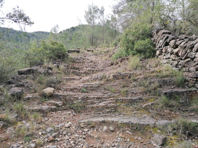
On the banks of the Veo river and in the heart of the Sierra de Espadán Natural Park, Alcudia de Veo is located between woods and springs. The terrain here is mountainous and much of it is covered with forests dominated by cork oaks, pines and holm oaks that hide numerous historical remains.
Trail:
One way (point-to-point)
Main

Reference municipality: Tales
Length: 105,40 km
Estimated walking time: 36:10:00
Elevation gain: 4.650 m
Elevation loss: 5.650 m
(1)
Previos stage
GR 333 E03 AÍN - ALCÚDIA DE VEO
Promoter: Mancomunidad Espadán Mijares
Certification status: Valid
Etapa número: 3
Reference municipality: Ain
Length: 3,60 km
Estimated walking time: 01:15:00
Elevation gain: 160 m
Elevation loss: 190 m
(0)
Next stage
GR 333 E05 VILLAMALUR - TORRALBA DEL PINAR
Promoter: Mancomunidad Espadán Mijares
Certification status: Valid
Etapa número: 5
Reference municipality: Villamalur
Length: 7,40 km
Estimated walking time: 02:50:00
Elevation gain: 495 m
Elevation loss: 400 m
(1)
Other trails connecting with this trail
GR 36 SIERRA DE ESPADÁN
Promoter: Parque Natural de la Sierra de Espadán
Certification status: See stages
Reference municipality: Vilavella (La)
Length: 60,10 km
Estimated walking time: 19:20:00
Elevation gain: 2.815 m
Elevation loss: 2.200 m
(1)
PR-CV 136 VILLAMALUR - SUERAS
Promoter: Ayuntamiento de Villamalur, Sueras y Societat d'Amics de la Serra d'Espadà
Certification status: Negative quality control
Reference municipality: Villamalur
Length: 7,50 km
Estimated walking time: 02:05:00
Elevation gain: 120 m
Elevation loss: 475 m
(0)
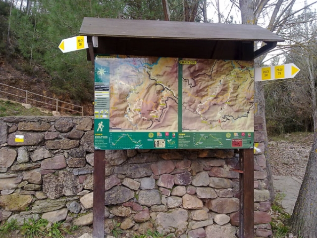
PR-CV 276 SENDERO DE AYODAR
Promoter: Ayuntamiento de Ayódar
Certification status: No quality controls
Reference municipality: Ayódar
Length: 16,20 km
Estimated walking time: 05:20:00
Elevation gain: 770 m
Elevation loss: 770 m
(0)