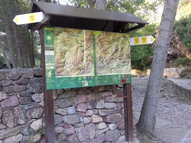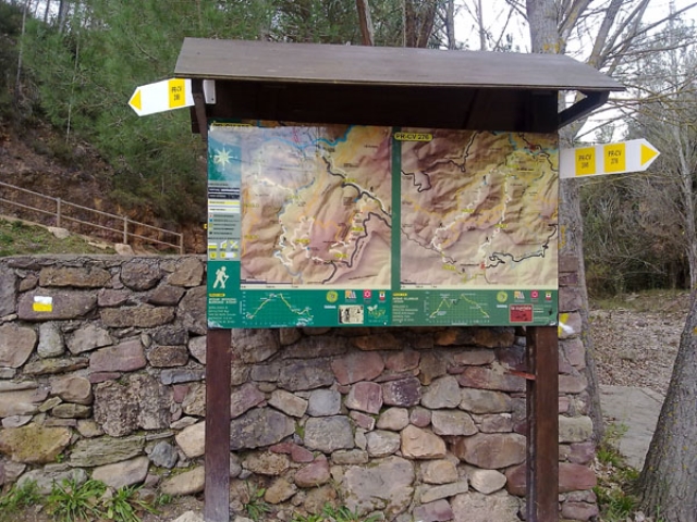
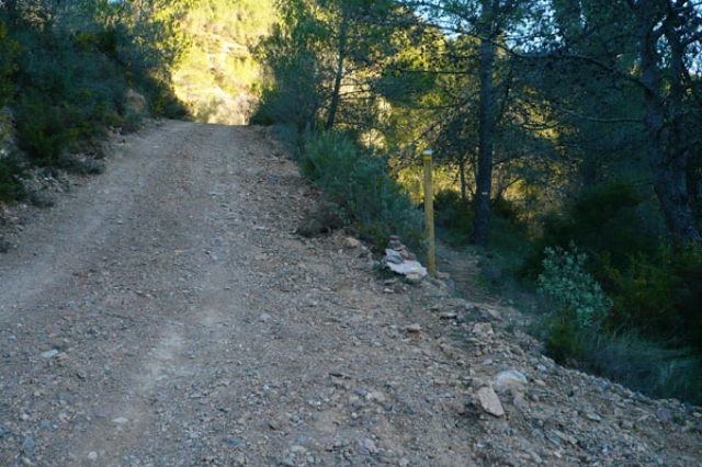
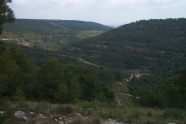
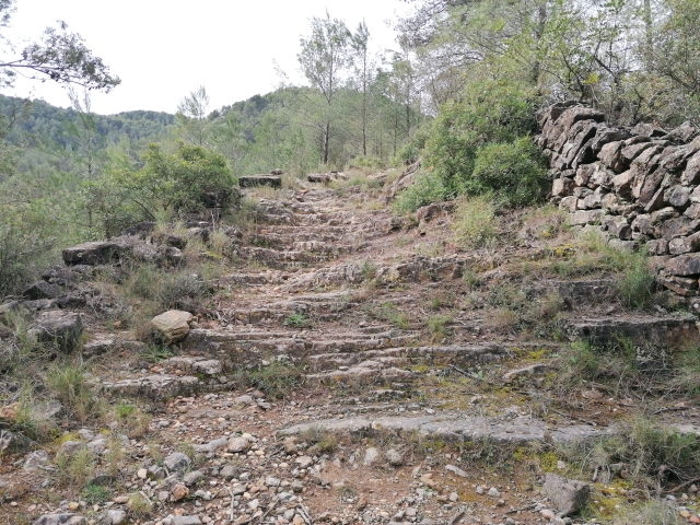
PR-CV 276 SENDERO DE AYODAR
Promoter: Ayuntamiento de Ayódar
Certification status: No quality controls
There is no proof of quality control on the record of this trail in the last years. For this reason, it is unknown whether it complies with the optimal signage and maintenance conditions for hikers to take the trail following these signs exclusively.
Hikers have to take into consideration that the information about the signage and maintenance of the trails for which the promoter entity is responsible might not be up to date anymore, since it refers to its state on the date of its approval. Furthermore, mountain sports entail risks associated with the activity itself and the environment where they take place, for which any person is fully liable. For this reason, hikes need to be planned properly and adequate training, equipment and sensible use of the trails are required.
Other trails connecting with this trail
GR 36 E03 AÍN - ALCÚDIA DE VEO
Promoter: Parque Natural de la Sierra de Espadán
Certification status: Positive quality control
Etapa número: 3
GR 36 E05 RAMBLA DE VILLAMALUR - TORRALBA DEL PINAR
Promoter: Parque Natural de la Sierra de Espadán
Certification status: Conditioned quality control
Etapa número: 5
GR 36 E04 ALCÚDIA DE VEO - RAMBLA DE VILLAMALUR
Promoter: Parque Natural de la Sierra de Espadán
Certification status: Conditioned quality control
Etapa número: 4

PR-CV 132 EL MOLINAR - ELS PLANS
Promoter: Ayuntamiento de Alcoy
Certification status: De-registered / De-approved
PR-CV 136 VILLAMALUR - SUERAS
Promoter: Ayuntamiento de Villamalur, Sueras y Societat d'Amics de la Serra d'Espadà
Certification status: Negative quality control
GR 333 E07 FUENTES DE AYÓDAR - AYÓDAR
Promoter: Mancomunidad Espadán Mijares
Certification status: Valid
Etapa número: 7
GR 333 E08 AYÓDAR - ESPADILLA
Promoter: Mancomunidad Espadán Mijares
Certification status: Valid
Etapa número: 8
GR 333 E04 ALCÚDIA DE VEO - VILLAMALUR
Promoter: Mancomunidad Espadán Mijares
Certification status: Valid
Etapa número: 4
GR 333 E05 VILLAMALUR - TORRALBA DEL PINAR
Promoter: Mancomunidad Espadán Mijares
Certification status: Valid
Etapa número: 5