
GR 333 E07 FUENTES DE AYÓDAR - AYÓDAR
Promoter: Mancomunidad Espadán Mijares
Certification status: Valid
0 reviews
You are on the edge of the Sierra de Espadán Natural Park, in its northern foothills. The municipality is covered by large areas of pine, cork oak and holm oak forests combined with farmland, meadows and pastures.
Trail:
One way (point-to-point)
Main

Reference municipality: Tales
Length: 105,40 km
Estimated walking time: 36:10:00
Elevation gain: 4.650 m
Elevation loss: 5.650 m
(1)
Previos stage
GR 333 E06 TORRALBA DEL PINAR - FUENTES DE AYÓDAR
Promoter: Mancomunidad Espadán Mijares
Certification status: Valid
Etapa número: 6
Reference municipality: Torralba del Pinar
Length: 6,00 km
Estimated walking time: 01:55:00
Elevation gain: 90 m
Elevation loss: 315 m
(0)
Next stage
GR 333 E08 AYÓDAR - ESPADILLA
Promoter: Mancomunidad Espadán Mijares
Certification status: Valid
Etapa número: 8
Reference municipality: Ayódar
Length: 6,60 km
Estimated walking time: 02:25:00
Elevation gain: 320 m
Elevation loss: 380 m
(0)
Other trails connecting with this trail
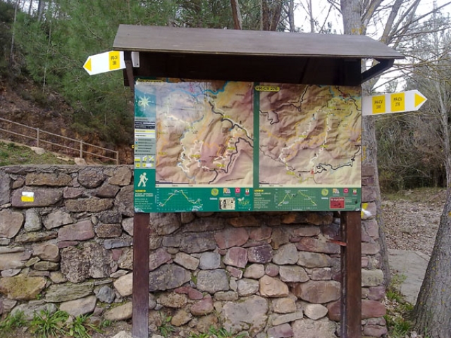
PR-CV 276 SENDERO DE AYODAR
Promoter: Ayuntamiento de Ayódar
Certification status: No quality controls
Reference municipality: Ayódar
Length: 16,20 km
Estimated walking time: 05:20:00
Elevation gain: 770 m
Elevation loss: 770 m
(0)
PR-CV 386 CAMINO A LA CUEVA NEGRA
Promoter: Ayuntamiento de Espadilla
Certification status: No quality controls
Reference municipality: Espadilla
Length: 11,90 km
Estimated walking time: 04:15:00
Elevation gain: 595 m
Elevation loss: 595 m
(0)