
GR 333 E06 TORRALBA DEL PINAR - FUENTES DE AYÓDAR
Promoter: Mancomunidad Espadán Mijares
Certification status: Valid
0 reviews
The relief here is very mountainous and is formed by the steep northern slopes of the Sierra de Espadán, which descend towards the valley of the Mijares river. The altitudes remain above 700 metres and sometimes reach 1000 metres. You can feel the climatic environment change between the Mediterranean sea and the mountains.
Trail:
One way (point-to-point)
Main

Reference municipality: Tales
Length: 105,40 km
Estimated walking time: 36:10:00
Elevation gain: 4.650 m
Elevation loss: 5.650 m
(1)
Previos stage
GR 333 E05 VILLAMALUR - TORRALBA DEL PINAR
Promoter: Mancomunidad Espadán Mijares
Certification status: Valid
Etapa número: 5
Reference municipality: Villamalur
Length: 7,40 km
Estimated walking time: 02:50:00
Elevation gain: 495 m
Elevation loss: 400 m
(1)
Next stage
GR 333 E07 FUENTES DE AYÓDAR - AYÓDAR
Promoter: Mancomunidad Espadán Mijares
Certification status: Valid
Etapa número: 7
Reference municipality: Fuentes de Ayodar
Length: 6,50 km
Estimated walking time: 02:10:00
Elevation gain: 210 m
Elevation loss: 335 m
(0)
Other trails connecting with this trail
GR 36 SIERRA DE ESPADÁN
Promoter: Parque Natural de la Sierra de Espadán
Certification status: See stages
Reference municipality: Vilavella (La)
Length: 60,10 km
Estimated walking time: 19:20:00
Elevation gain: 2.815 m
Elevation loss: 2.200 m
(1)
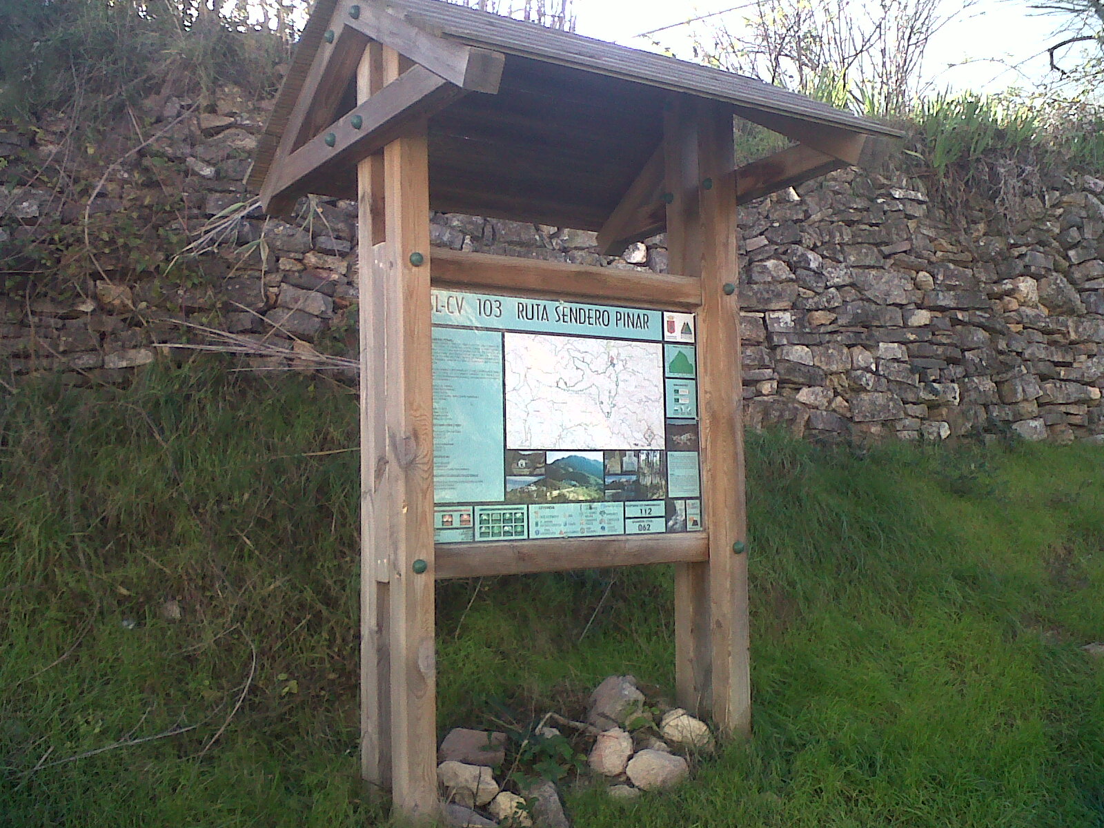
SL-CV 103 SENDERO PINAR
Promoter: Ayuntamiento de Torralba del Pinar
Certification status: No quality controls
Reference municipality: Torralba del Pinar
Length: 7,20 km
Estimated walking time: 02:50:00
Elevation gain: 460 m
Elevation loss: 460 m
(0)
