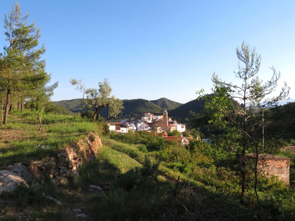
El recorrido da comienzo en la plaza de la Iglesia – con una fuente en el centro – de Torralda del Pinar, a unos 746 m sobre el mar.
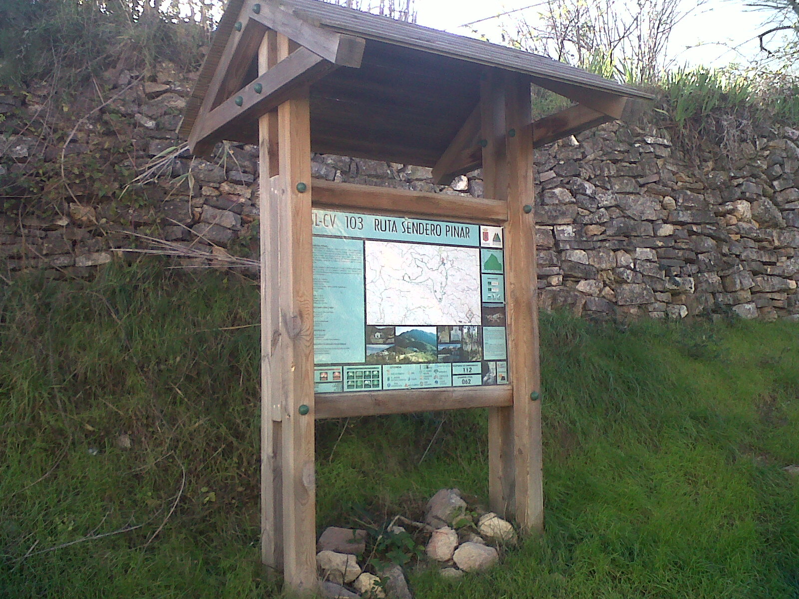
Por un paso de peatones se cruza la carretera CV – 203 en dirección sur y por un camino empedrado se sube hacia Las Eras, zona donde antiguamente se trillaba. Justo a la izquierda figura la caseta informativa con el panel explicativo de la ruta SL-CV 103. Anexo a la misma se alza un poste direccional del GR-36 'Trans-Espadán', pues ambos senderos se enlazan en este punto.
Unos metros más adelante se gira izquierda y se continúa hasta llegar a la Fuente del Cerezo.
Se deja ésta a la derecha y se asciende hasta la pisa asfaltaba de Villamalur, la cual se debe seguir durante apenas unos 150m hasta llegar a una señal indicativa (a izquierda) de la Fuente Montalbanas.
A continuación se produce la bifurcación de sendas: el GR – 36 avanza hacia SE.
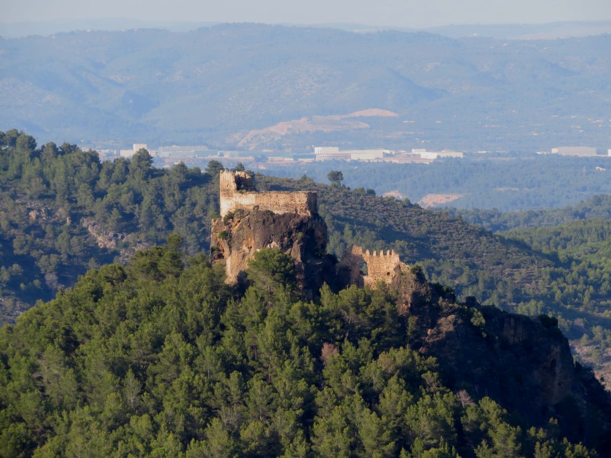
Desde este punto, y mirando hacia el E, se observa un cerro elevado en medio del barranco (el GR-39 lo Villahaleva, antiguo asentamiento originario del pueblo de Torralba.
La senda conduce hasta la Fuente Montalbanas, señalizada a derecha y distante escasos metros.
A partir de aquí se inicia un fuerte ascenso y se cruza nuevamente la pista asfaltada de Villamalur.
Se sube hasta el Collado de la Rocha por el tramo más empinado de la ruta: 200 m de desnivel en apenas 700 m de recorrido.
Una vez el Collado, se gira a izquierda hacia el NE a la altura de un poste direccional y se camina brevemente por una nueva pista.
Tras ese corto tramo, la senda se desvía a izquierda hacia El Pinar o también conocido como 'La Santa'. Hoy en día tan sólo quedan restos del camino, las tricheras y la capilla, todo ello muy deteriorado.
De manera optativa, desde aquí se puede ascender por una senda a izquierda al vértice geodésico de El Pinar (1.102m), punto más alto de recorrido y tan sólo a unos 100m de distancia. En condiciones de buena visibilidad, la panorámica es magnífica en cualquier ángulo e incluso puede verse al S el Mediterráneo. Se retorna por la misma senda y regresa al SL-CV 103 en dirección E.
Se pasa junto a la Balsa del Pinar y, en animado descenso, se llega de nuevo a la pista forestal. Allí se gira a izquierda y se avanza unos metros hasta el siguiente poste direccional.
Al llegar a ese punto se abandona la pista, se gira bruscamente a derecha y se desciende por una estrecha senda. Se camina ahora por la vertiente norte y este hecho se aprecia por la humedad reinante y un exuberante vegetación de alcornoques, carrascas, pinos y sobre todo helechos.
El descenso, notable en algunos momentos, continúa la senda se transforma de nuevo en pista y se pasa junto a la Balsa de las Majadillas.
Tras avanzar unos 30 m por la pista, un poste direccional señala a izquierda el camino de bajada hacia el pueblo.
Una vez rebasado el paraje de Las Eras, se desciende nuevamente por el camino empedrado hasta cruzar la carretera CV – 203 otra vez.
Unos metros al frente se vislumbra ya la iglesia y la plaza, punto final del recorrido.


