
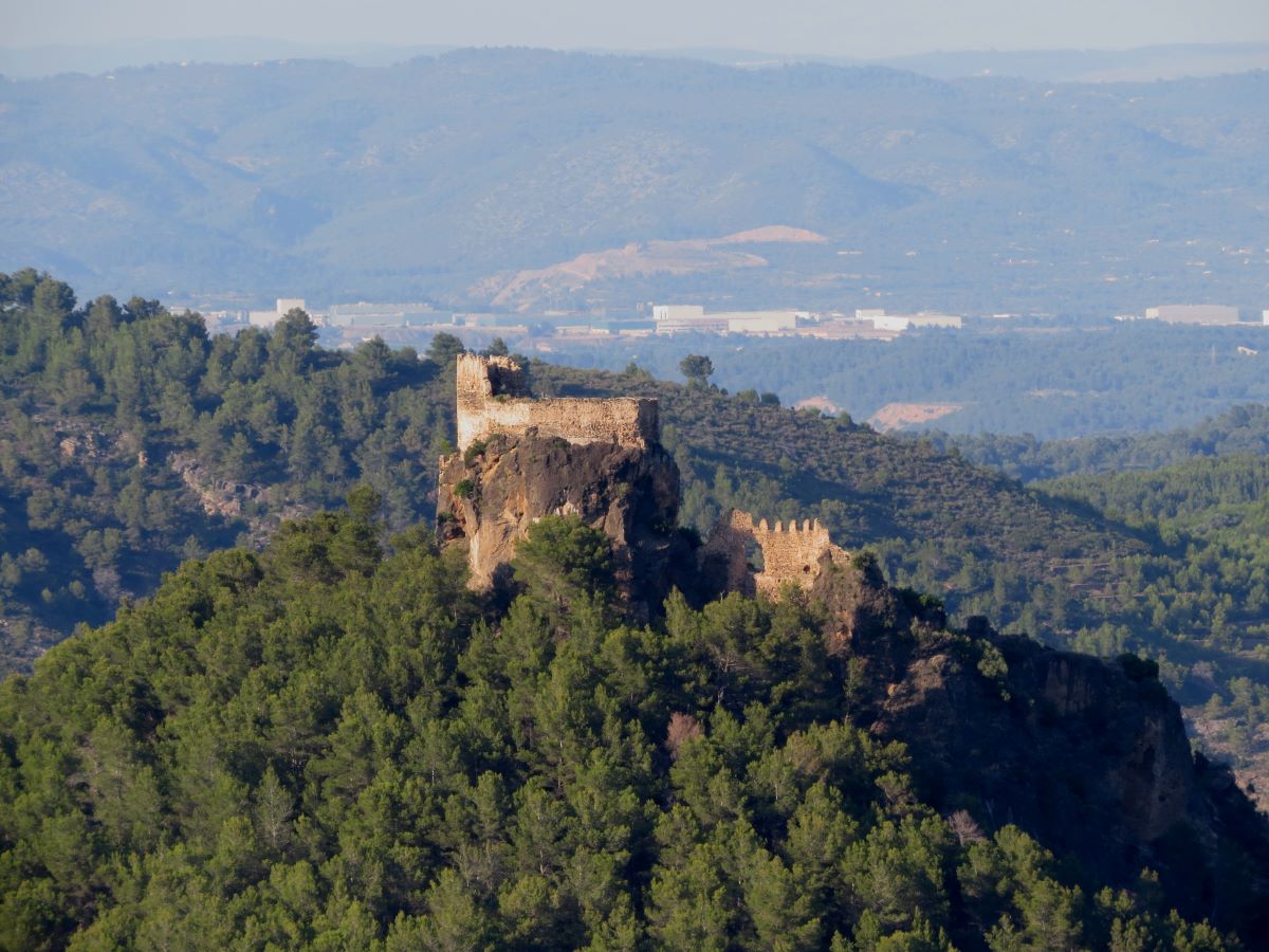
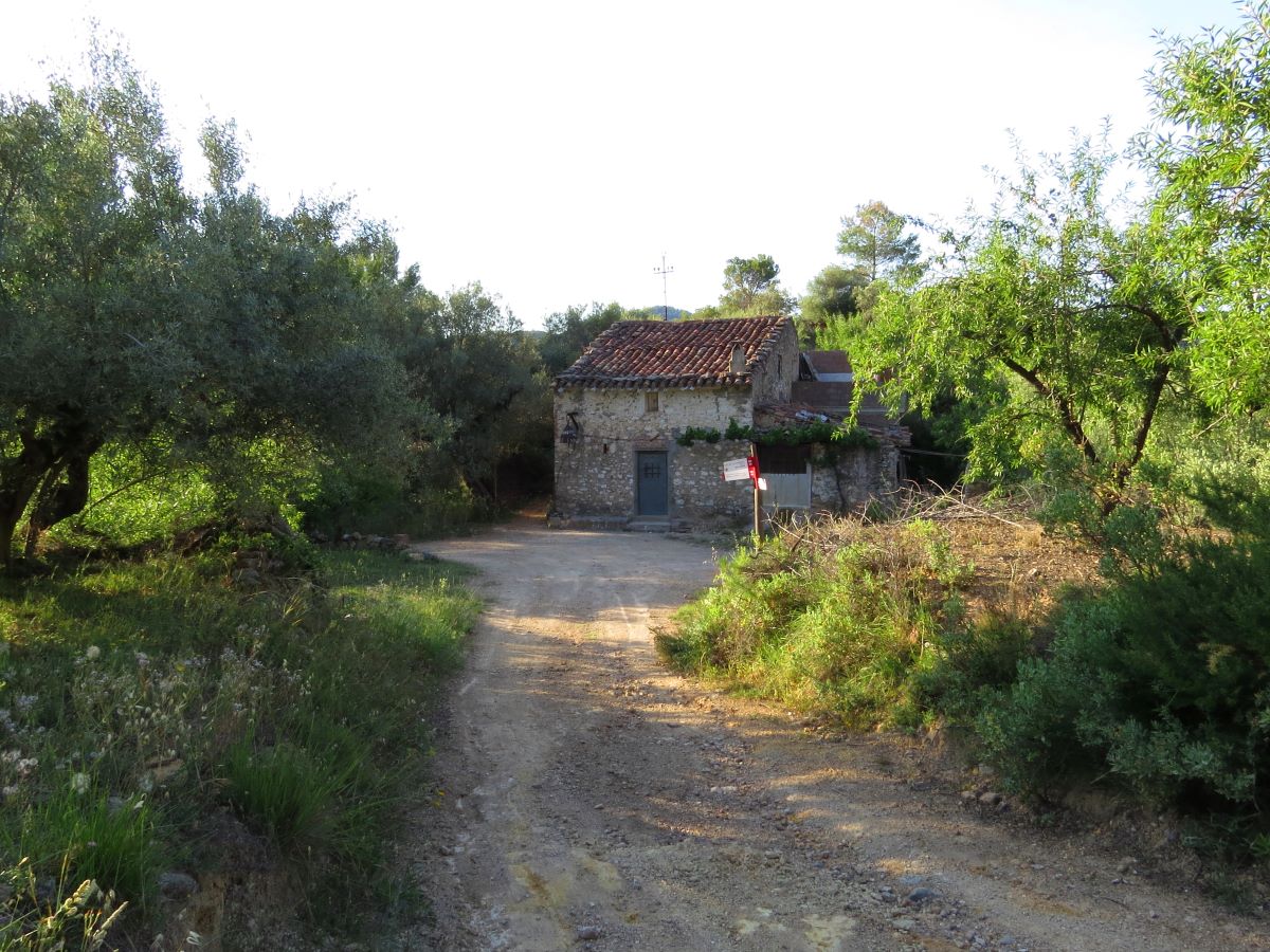
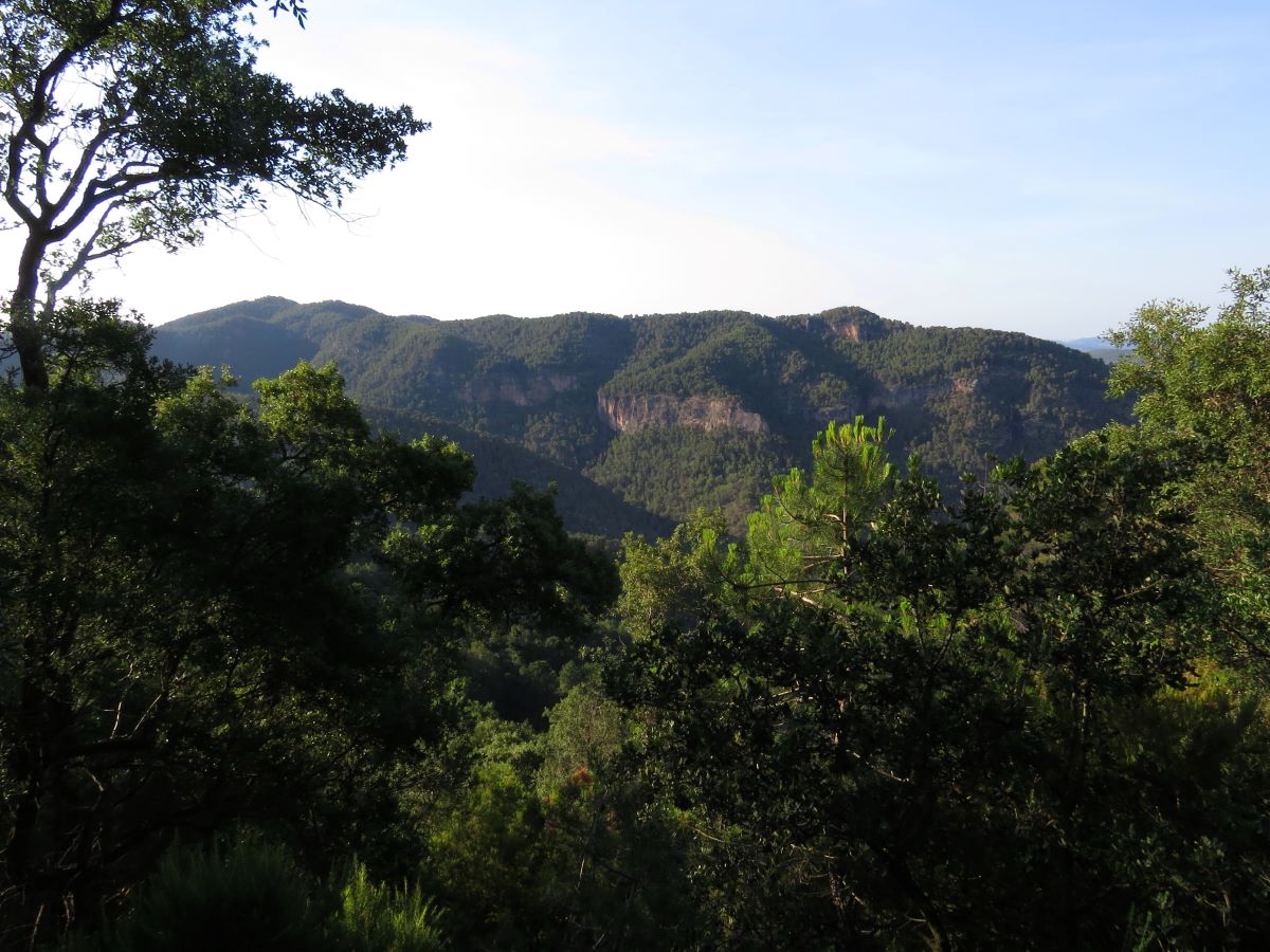
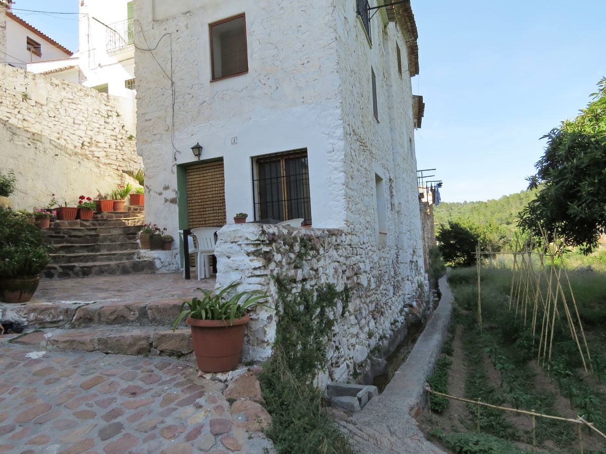
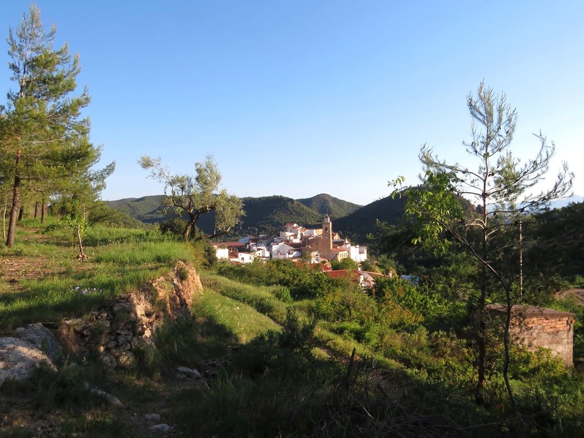
GR 36 E04 ALCÚDIA DE VEO - RAMBLA DE VILLAMALUR
Promoter: Parque Natural de la Sierra de Espadán
Certification status: Conditioned quality control
Following the inspection carried out by trail technicians, this trail has been declared of "limited adequacy" as a result of the faults detected in the signage. These include inadequate horizontal signs (paint markers) and/or vertical ones (trailheads and information boards) or lacking direction markers that do not provide sufficient information to properly follow the route. The builder of this trail has been informed of the situation.
For safety reasons and during maintenance work, it is advised to be extremely careful while taking this route. Furthermore, mountain sports entail risks associated with the activity itself and the environment where they take place, for which any person is fully liable. For this reason, hikes need to be planned properly and adequate training, equipment and sensible use of the trails are required.
Main

GR 36 SIERRA DE ESPADÁN
Promoter: Parque Natural de la Sierra de Espadán
Certification status: See stages
Previos stage
GR 36 E03 AÍN - ALCÚDIA DE VEO
Promoter: Parque Natural de la Sierra de Espadán
Certification status: Positive quality control
Etapa número: 3
Next stage
GR 36 E05 RAMBLA DE VILLAMALUR - TORRALBA DEL PINAR
Promoter: Parque Natural de la Sierra de Espadán
Certification status: Conditioned quality control
Etapa número: 5
Other trails connecting with this trail
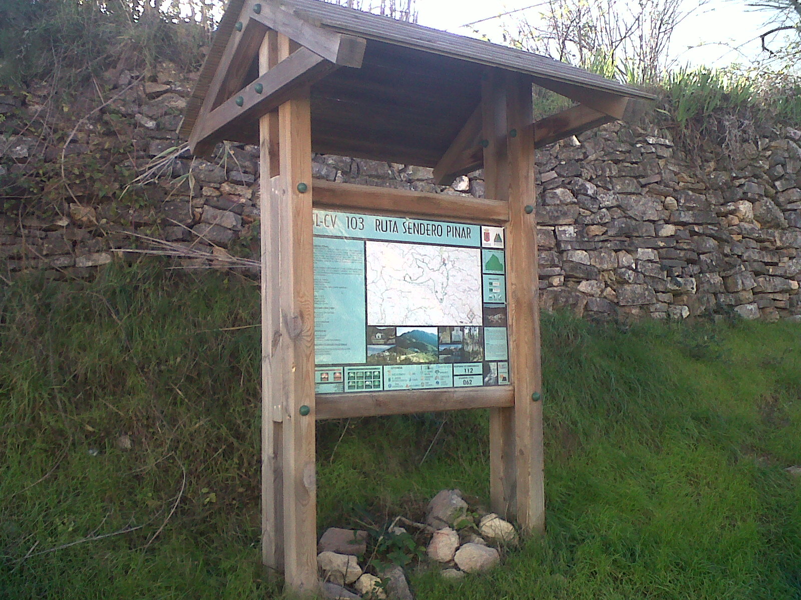
SL-CV 103 SENDERO PINAR
Promoter: Ayuntamiento de Torralba del Pinar
Certification status: No quality controls
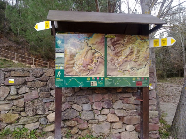
PR-CV 276 SENDERO DE AYODAR
Promoter: Ayuntamiento de Ayódar
Certification status: No quality controls