
GR 333 ESPADÁN - MIJARES
Promoter: Mancomunidad Espadán Mijares
Certification status: See stages
1 review
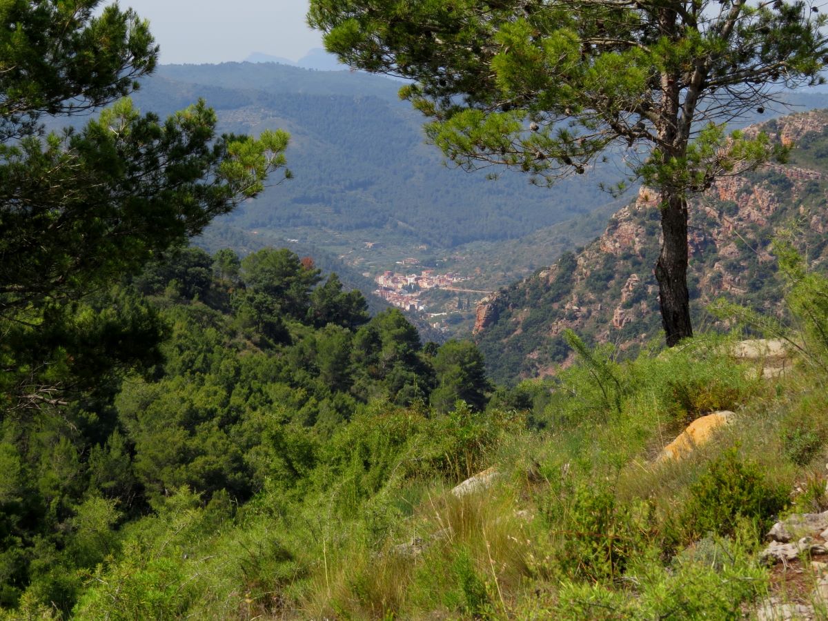
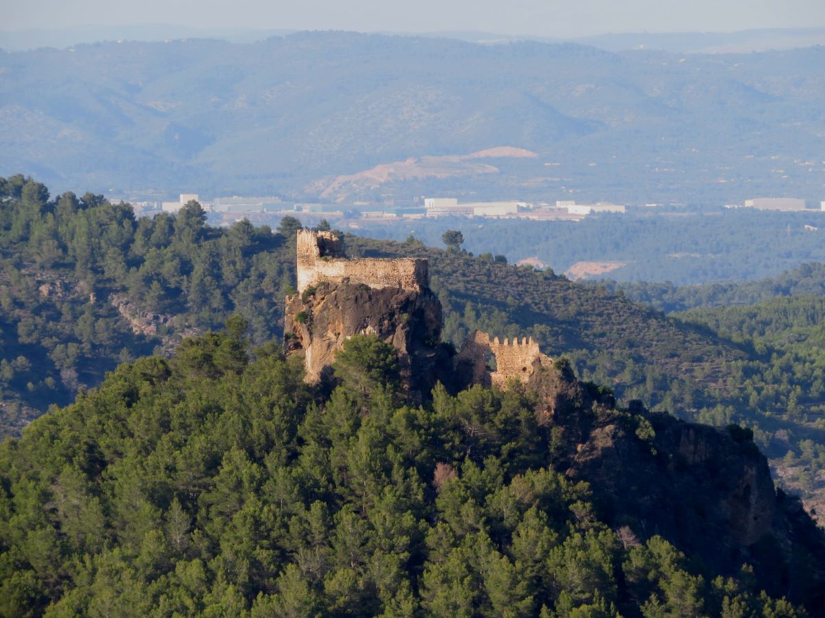
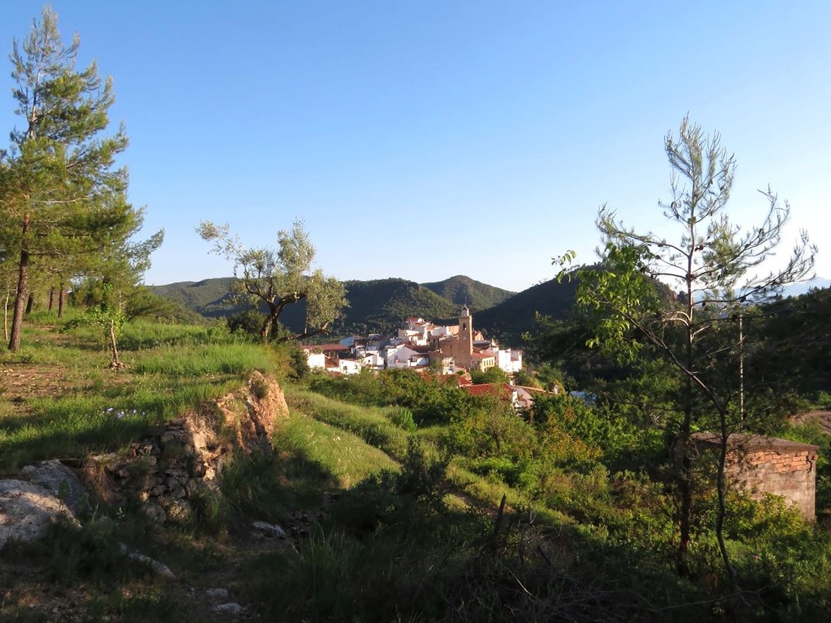
This long distance trail is a route that connects the 15 municipalities of Mancomunidad Espadán-Mijares, covers a total distance of 104 km and is made up of 15 stages that will allow you to enjoy the magnificent landscapes offered by this land accompanied by a splendid climate.
Trail:
Loop
Stages

GR 333 E01 TALES - SUERAS
Promoter: Mancomunidad Espadán Mijares
Certification status: Valid
Etapa número: 1
Reference municipality: Tales
Length: 3,50 km
Estimated walking time: 01:15:00
Elevation gain: 215 m
Elevation loss: 130 m
(0)
GR 333 E02 SUERAS - AÍN
Promoter: Mancomunidad Espadán Mijares
Certification status: Valid
Etapa número: 2
Reference municipality: Suera/Sueras
Length: 9,30 km
Estimated walking time: 03:20:00
Elevation gain: 555 m
Elevation loss: 375 m
(0)
GR 333 E03 AÍN - ALCÚDIA DE VEO
Promoter: Mancomunidad Espadán Mijares
Certification status: Valid
Etapa número: 3
Reference municipality: Ain
Length: 3,60 km
Estimated walking time: 01:15:00
Elevation gain: 160 m
Elevation loss: 190 m
(0)
GR 333 E04 ALCÚDIA DE VEO - VILLAMALUR
Promoter: Mancomunidad Espadán Mijares
Certification status: Valid
Etapa número: 4
Reference municipality: Alcudia de Veo
Length: 13,50 km
Estimated walking time: 04:35:00
Elevation gain: 650 m
Elevation loss: 485 m
(0)
GR 333 E05 VILLAMALUR - TORRALBA DEL PINAR
Promoter: Mancomunidad Espadán Mijares
Certification status: Valid
Etapa número: 5
Reference municipality: Villamalur
Length: 7,40 km
Estimated walking time: 02:50:00
Elevation gain: 495 m
Elevation loss: 400 m
(1)
GR 333 E06 TORRALBA DEL PINAR - FUENTES DE AYÓDAR
Promoter: Mancomunidad Espadán Mijares
Certification status: Valid
Etapa número: 6
Reference municipality: Torralba del Pinar
Length: 6,00 km
Estimated walking time: 01:55:00
Elevation gain: 90 m
Elevation loss: 315 m
(0)
GR 333 E07 FUENTES DE AYÓDAR - AYÓDAR
Promoter: Mancomunidad Espadán Mijares
Certification status: Valid
Etapa número: 7
Reference municipality: Fuentes de Ayodar
Length: 6,50 km
Estimated walking time: 02:10:00
Elevation gain: 210 m
Elevation loss: 335 m
(0)
GR 333 E08 AYÓDAR - ESPADILLA
Promoter: Mancomunidad Espadán Mijares
Certification status: Valid
Etapa número: 8
Reference municipality: Ayódar
Length: 6,60 km
Estimated walking time: 02:25:00
Elevation gain: 320 m
Elevation loss: 380 m
(0)
GR 333 E09 ESPADILLA - TORRECHIVA
Promoter: Mancomunidad Espadán Mijares
Certification status: Valid
Etapa número: 9
Reference municipality: Espadilla
Length: 9,90 km
Estimated walking time: 03:45:00
Elevation gain: 620 m
Elevation loss: 600 m
(1)
GR 333 E10 TORRECHIVA - TOGA
Promoter: Mancomunidad Espadán Mijares
Certification status: Valid
Etapa número: 10
Reference municipality: Torrechiva
Length: 3,40 km
Estimated walking time: 01:10:00
Elevation gain: 120 m
Elevation loss: 170 m
(0)
GR 333 E11 TOGA - ARGELITA
Promoter: Mancomunidad Espadán Mijares
Certification status: Valid
Etapa número: 11
Reference municipality: Toga
Length: 3,20 km
Estimated walking time: 01:05:00
Elevation gain: 145 m
Elevation loss: 145 m
(0)
GR 333 E12 ARGELITA - VALLAT
Promoter: Mancomunidad Espadán Mijares
Certification status: Valid
Etapa número: 12
Reference municipality: Argelita
Length: 4,70 km
Estimated walking time: 01:40:00
Elevation gain: 250 m
Elevation loss: 255 m
(0)
GR 333 E13 VALLAT - FANZARA
Promoter: Mancomunidad Espadán Mijares
Certification status: Valid
Etapa número: 13
Reference municipality: Vallat
Length: 7,10 km
Estimated walking time: 02:30:00
Elevation gain: 310 m
Elevation loss: 375 m
(0)
GR 333 E14 FANZARA - RIBESALBES
Promoter: Mancomunidad Espadán Mijares
Certification status: Valid
Etapa número: 14
Reference municipality: Fanzara
Length: 4,50 km
Estimated walking time: 01:30:00
Elevation gain: 155 m
Elevation loss: 205 m
(0)
GR 333 E15 RIBESALBES - TALES
Promoter: Mancomunidad Espadán Mijares
Certification status: Valid
Etapa número: 15
Reference municipality: Ribesalbes
Length: 16,20 km
Estimated walking time: 04:45:00
Elevation gain: 355 m
Elevation loss: 290 m
(0)
Other trails connecting with this trail
GR 36 E02 ESLIDA - AÍN
Promoter: Parque Natural de la Sierra de Espadán
Certification status: Positive quality control
Etapa número: 2
Reference municipality: Eslida
Length: 7,10 km
Estimated walking time: 02:35:00
Elevation gain: 420 m
Elevation loss: 300 m
(1)
GR 36 E03 AÍN - ALCÚDIA DE VEO
Promoter: Parque Natural de la Sierra de Espadán
Certification status: Positive quality control
Etapa número: 3
Reference municipality: Ain
Length: 4,40 km
Estimated walking time: 01:35:00
Elevation gain: 200 m
Elevation loss: 245 m
(0)
GR 36 E04 ALCÚDIA DE VEO - RAMBLA DE VILLAMALUR
Promoter: Parque Natural de la Sierra de Espadán
Certification status: Conditioned quality control
Etapa número: 4
Reference municipality: Alcudia de Veo
Length: 9,30 km
Estimated walking time: 02:45:00
Elevation gain: 425 m
Elevation loss: 315 m
(0)
GR 36 E05 RAMBLA DE VILLAMALUR - TORRALBA DEL PINAR
Promoter: Parque Natural de la Sierra de Espadán
Certification status: Conditioned quality control
Etapa número: 5
Reference municipality: Villamalur
Length: 5,80 km
Estimated walking time: 02:00:00
Elevation gain: 385 m
Elevation loss: 235 m
(1)