
GR 333 E10 TORRECHIVA - TOGA
Promoter: Mancomunidad Espadán Mijares
Certification status: Valid
0 reviews
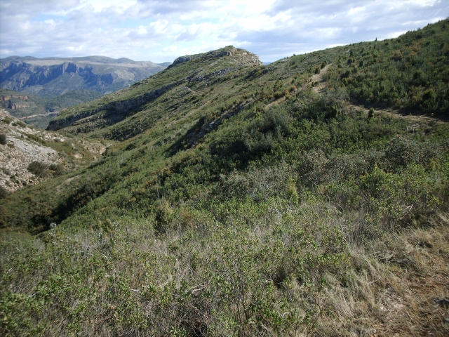
On the banks of the Mijares river, the municipality of Torrechiva is covered by large areas of woodland where the predominant species are pines and holm oaks. There are also areas of cultivation made up mainly of olive, almond and carob trees.
Trail:
One way (point-to-point)
Main

Reference municipality: Tales
Length: 105,40 km
Estimated walking time: 36:10:00
Elevation gain: 4.650 m
Elevation loss: 5.650 m
(1)
Previos stage
GR 333 E09 ESPADILLA - TORRECHIVA
Promoter: Mancomunidad Espadán Mijares
Certification status: Valid
Etapa número: 9
Reference municipality: Espadilla
Length: 9,90 km
Estimated walking time: 03:45:00
Elevation gain: 620 m
Elevation loss: 600 m
(1)
Next stage
GR 333 E11 TOGA - ARGELITA
Promoter: Mancomunidad Espadán Mijares
Certification status: Valid
Etapa número: 11
Reference municipality: Toga
Length: 3,20 km
Estimated walking time: 01:05:00
Elevation gain: 145 m
Elevation loss: 145 m
(0)
Other trails connecting with this trail
SL-CV 70 BARRANCO DE VASALL
Promoter: Ayuntamiento de Toga
Certification status: No quality controls
Reference municipality: Toga
Length: 4,70 km
Elevation gain: 440 m
Elevation loss: 30 m
(0)