
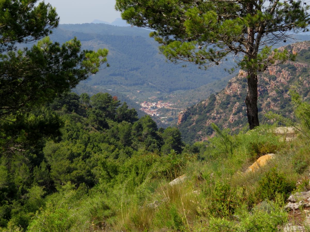
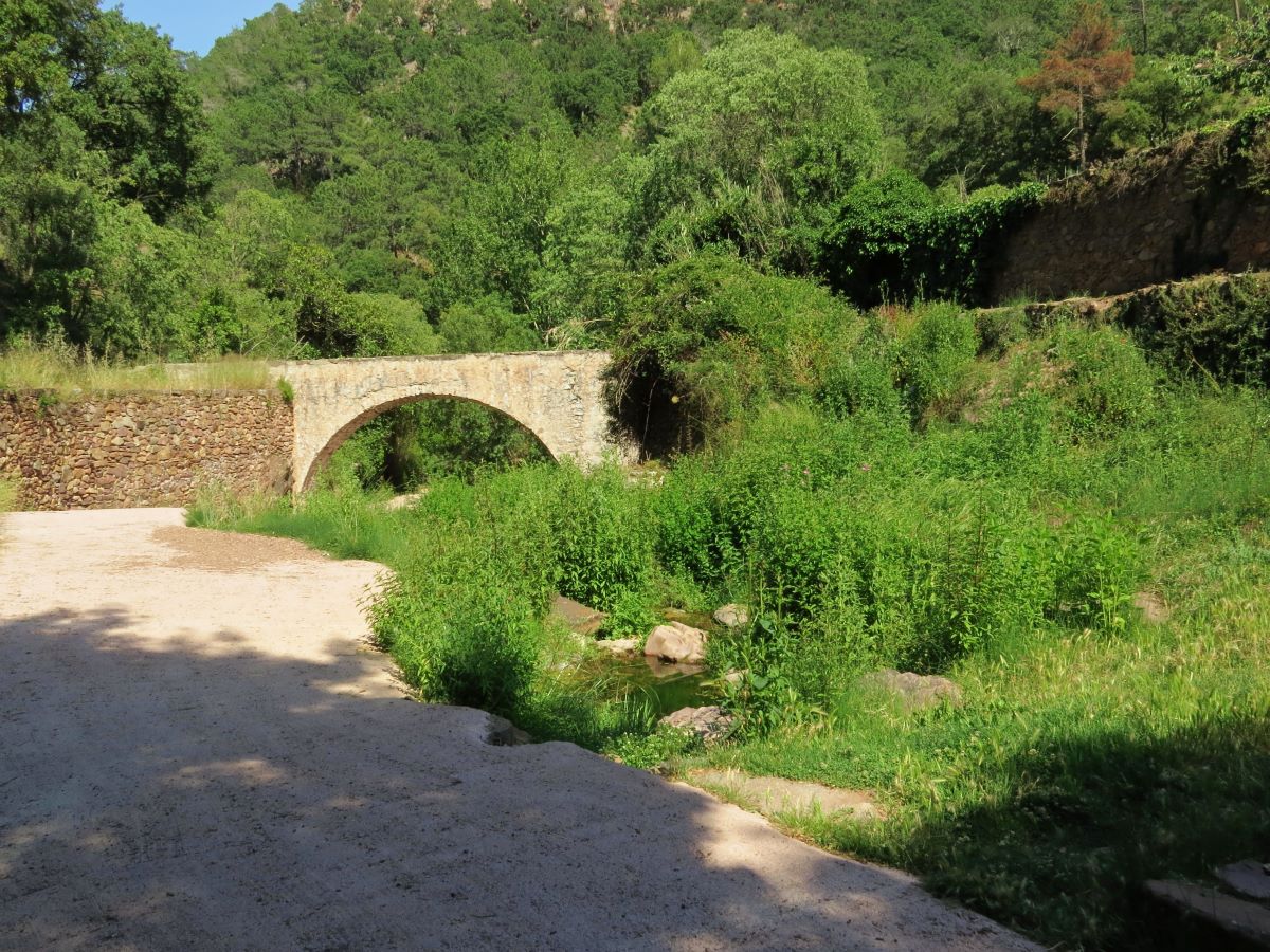
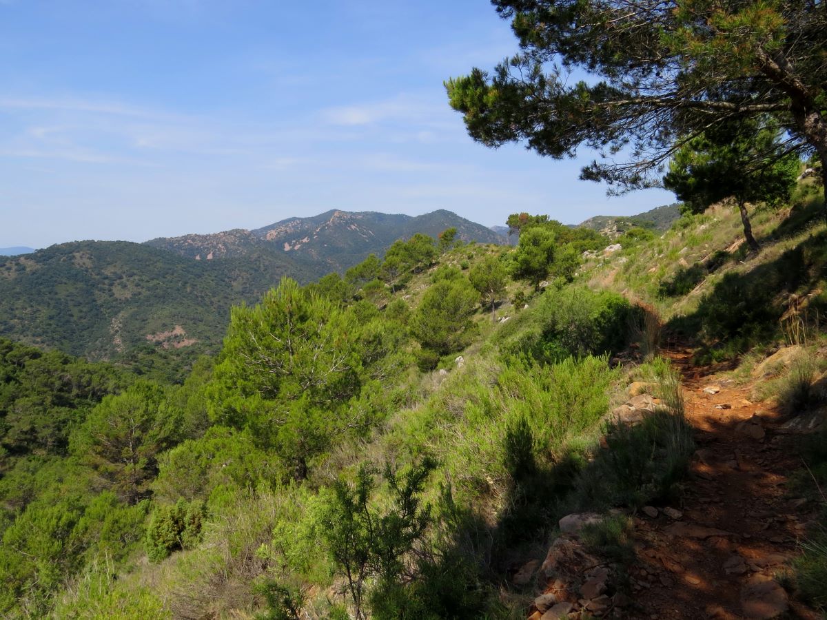
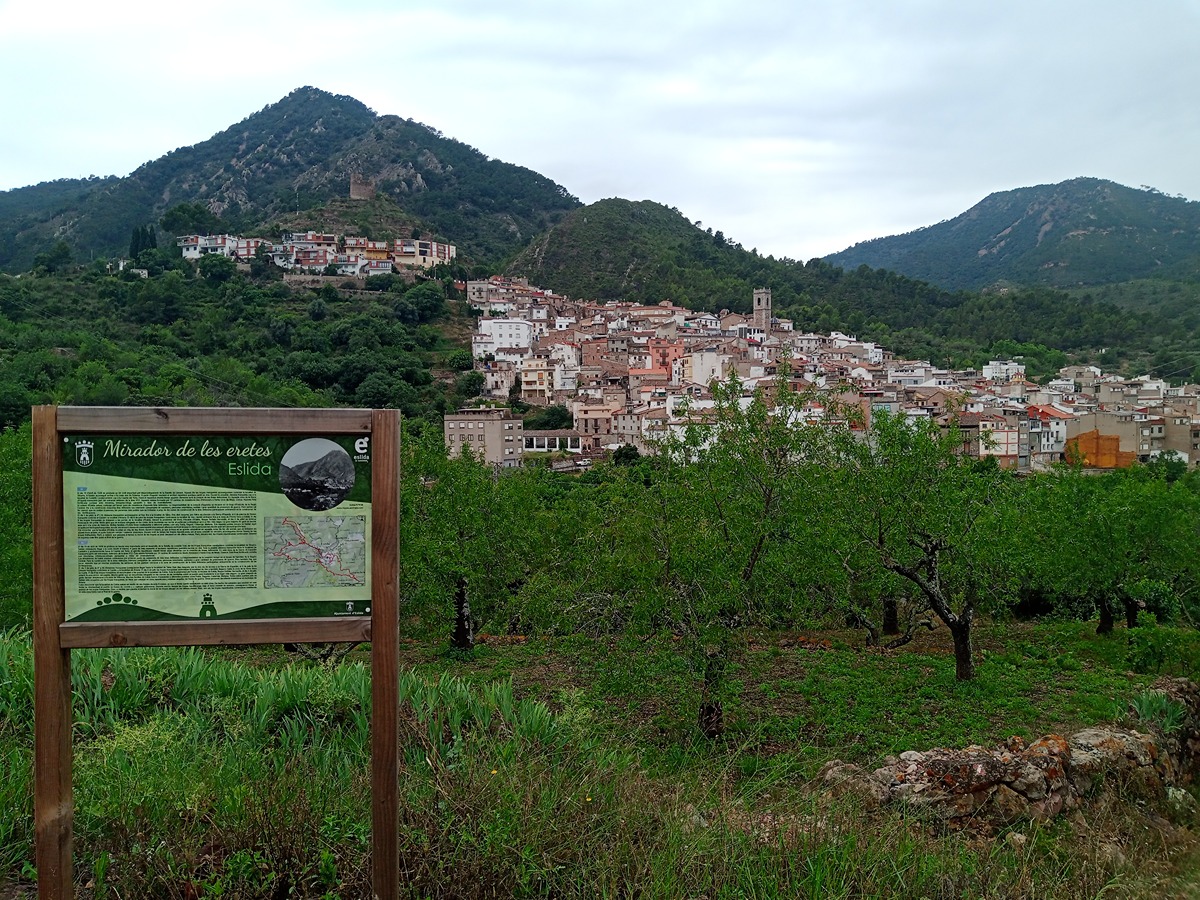
GR 36 E02 ESLIDA - AÍN
Promoter: Parque Natural de la Sierra de Espadán
Certification status: Positive quality control
1 review
Trail:
One way (point-to-point)
Main

GR 36 SIERRA DE ESPADÁN
Promoter: Parque Natural de la Sierra de Espadán
Certification status: See stages
Reference municipality: Vilavella (La)
Length: 60,10 km
Estimated walking time: 19:20:00
Elevation gain: 2.815 m
Elevation loss: 2.200 m
(1)
Previos stage
GR 36 E01 LA VILAVELLA - ESLIDA
Promoter: Parque Natural de la Sierra de Espadán
Certification status: Negative quality control
Etapa número: 1
Reference municipality: Vilavella (La)
Length: 16,00 km
Estimated walking time: 05:45:00
Elevation gain: 1.015 m
Elevation loss: 735 m
(0)
Next stage
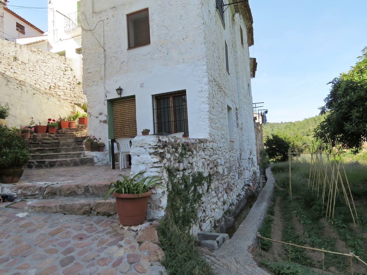
GR 36 E03 AÍN - ALCÚDIA DE VEO
Promoter: Parque Natural de la Sierra de Espadán
Certification status: Positive quality control
Etapa número: 3
Reference municipality: Ain
Length: 4,40 km
Estimated walking time: 01:35:00
Elevation gain: 200 m
Elevation loss: 245 m
(0)
Other trails connecting with this trail
SL-CV 27 PASEO DE LA PEÑA PASTOR Y EL GURUGÚ
Promoter: Ayuntamiento de Aín
Certification status: Negative quality control
Reference municipality: Ain
Length: 6,90 km
Estimated walking time: 03:00:00
Elevation gain: 505 m
Elevation loss: 505 m
(0)
SL-CV 28 CAMINO DEL PALOMAR Y BARRANCO DE ESLIDA
Promoter: Ayuntamiento de Aín
Certification status: Negative quality control
Reference municipality: Ain
Length: 4,40 km
Estimated walking time: 01:30:00
Elevation gain: 180 m
Elevation loss: 180 m
(0)
SL-CV 29 EL ENCANTO DEL CALAR
Promoter: Ayuntamiento de Aín
Certification status: Conditioned quality control
Reference municipality: Ain
Length: 4,70 km
Estimated walking time: 01:40:00
Elevation gain: 215 m
Elevation loss: 215 m
(0)
PR-CV 63.6 CUMBRES DE ESPADÁN
Promoter: Mancomunidad Alto Palancia
Certification status: No quality controls
Reference municipality: Almedijar
Length: 38,30 km
Estimated walking time: 12:00:00
(0)
SL-CV 101 FONT DELS LLOPS - COLL ROIG
Promoter: Ayuntamiento de Eslida
Certification status: Positive quality control
Reference municipality: Eslida
Length: 6,40 km
Estimated walking time: 02:25:00
Elevation gain: 465 m
Elevation loss: 255 m
(0)
PR-CV 138 ESLIDA - CHOVAR
Promoter: Ayuntamiento de Eslida
Certification status: Positive quality control
Reference municipality: Eslida
Length: 9,60 km
Estimated walking time: 03:25:00
Elevation gain: 490 m
Elevation loss: 440 m
(0)
PR-CV 140 AIN - SUERAS POR BENITANDÚS
Promoter: Societat d'Amics de la Serra d'Espadà
Certification status: Positive quality control
Reference municipality: Ain
Length: 8,50 km
Estimated walking time: 02:55:00
Elevation gain: 305 m
Elevation loss: 500 m
(0)
Reference municipality: Tales
Length: 105,40 km
Estimated walking time: 36:10:00
Elevation gain: 4.650 m
Elevation loss: 5.650 m
(1)
PR-CV 352 PUNTAL DEL ALJUB - COLL DE BARRES
Promoter: Ayuntamiento de Eslida
Certification status: Positive quality control
Reference municipality: Eslida
Length: 12,30 km
Estimated walking time: 04:35:00
Elevation gain: 730 m
Elevation loss: 730 m
(0)
PR-CV 384 RUTA DE LES FONTS
Promoter: Ayuntamiento de Eslida
Certification status: Negative quality control
Reference municipality: Eslida
Length: 15,10 km
Estimated walking time: 05:05:00
Elevation gain: 630 m
Elevation loss: 630 m
(1)