
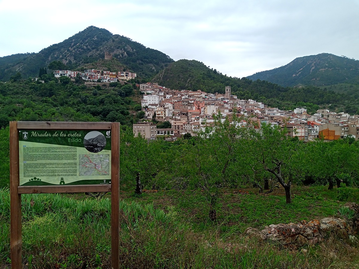
SL-CV 101 FONT DELS LLOPS - COLL ROIG
Promoter: Ayuntamiento de Eslida
Certification status: Positive quality control
0 reviews
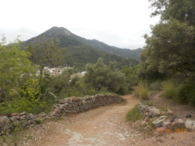
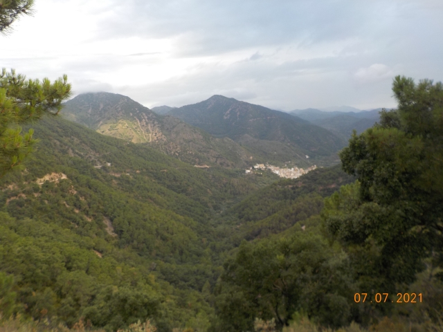
This route takes you from the village of Eslida to the Roig pass, leading through peri-urban areas with fields of olive, carob and almond trees, before you enter forests of large specimens of pine and cork oak trees.
Trail:
One way (point-to-point)
Other trails connecting with this trail
GR 36 E02 ESLIDA - AÍN
Promoter: Parque Natural de la Sierra de Espadán
Certification status: Positive quality control
Etapa número: 2
Reference municipality: Eslida
Length: 7,10 km
Estimated walking time: 02:35:00
Elevation gain: 420 m
Elevation loss: 300 m
(1)
PR-CV 137 DE ARTANA A ESLIDA POR LA SOLANA
Promoter: Ayuntamiento de Artana
Certification status: Negative quality control
Reference municipality: Artana
Length: 11,00 km
Estimated walking time: 02:40:00
Elevation gain: 260 m
Elevation loss: 180 m
(0)
PR-CV 138 ESLIDA - CHOVAR
Promoter: Ayuntamiento de Eslida
Certification status: Positive quality control
Reference municipality: Eslida
Length: 9,60 km
Estimated walking time: 03:25:00
Elevation gain: 490 m
Elevation loss: 440 m
(0)
PR-CV 352 PUNTAL DEL ALJUB - COLL DE BARRES
Promoter: Ayuntamiento de Eslida
Certification status: Positive quality control
Reference municipality: Eslida
Length: 12,30 km
Estimated walking time: 04:35:00
Elevation gain: 730 m
Elevation loss: 730 m
(0)

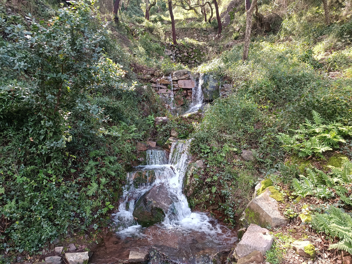
PR-CV 384 RUTA DE LES FONTS
Promoter: Ayuntamiento de Eslida
Certification status: Negative quality control
Reference municipality: Eslida
Length: 15,10 km
Estimated walking time: 05:05:00
Elevation gain: 630 m
Elevation loss: 630 m
(1)