ES / EN / VA

Rate this trail

SL-CV 29 EL ENCANTO DEL CALAR

Promoter: Ayuntamiento de Aín

Certification status: Conditioned quality control

0 reviews

Following the inspection carried out by trail technicians, this trail has been declared of "limited adequacy" as a result of the faults detected in the signage. These include inadequate horizontal signs (paint markers) and/or vertical ones (trailheads and information boards) or lacking direction markers that do not provide sufficient information to properly follow the route. The builder of this trail has been informed of the situation.
For safety reasons and during maintenance work, it is advised to be extremely careful while taking this route. Furthermore, mountain sports entail risks associated with the activity itself and the environment where they take place, for which any person is fully liable. For this reason, hikes need to be planned properly and adequate training, equipment and sensible use of the trails are required.

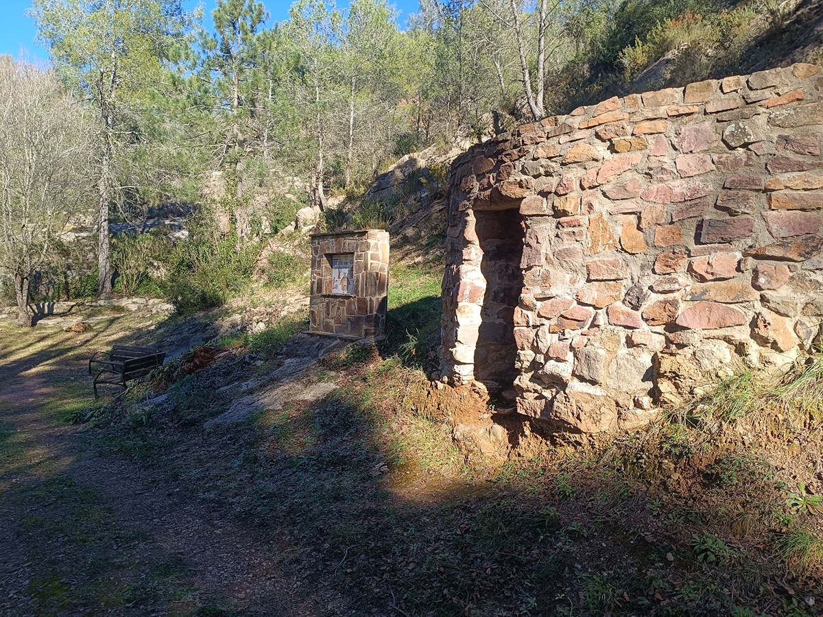
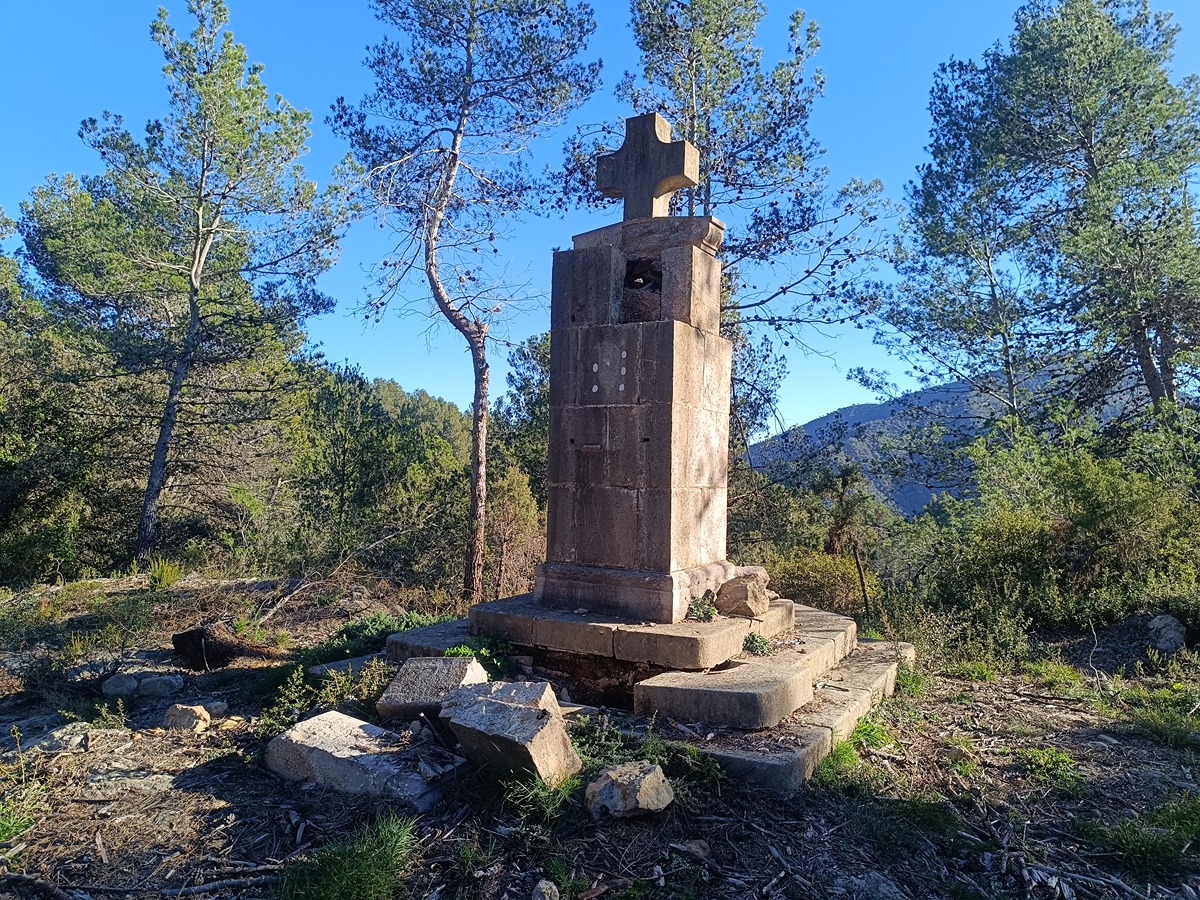
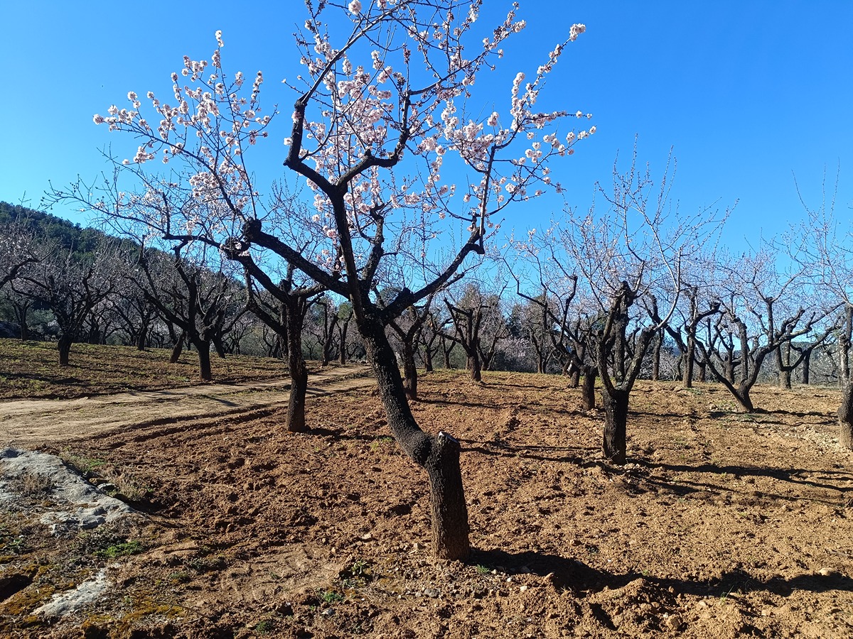
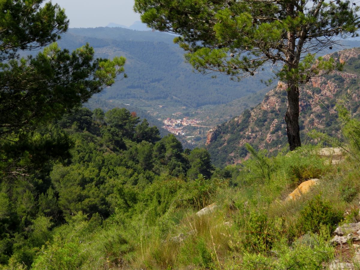
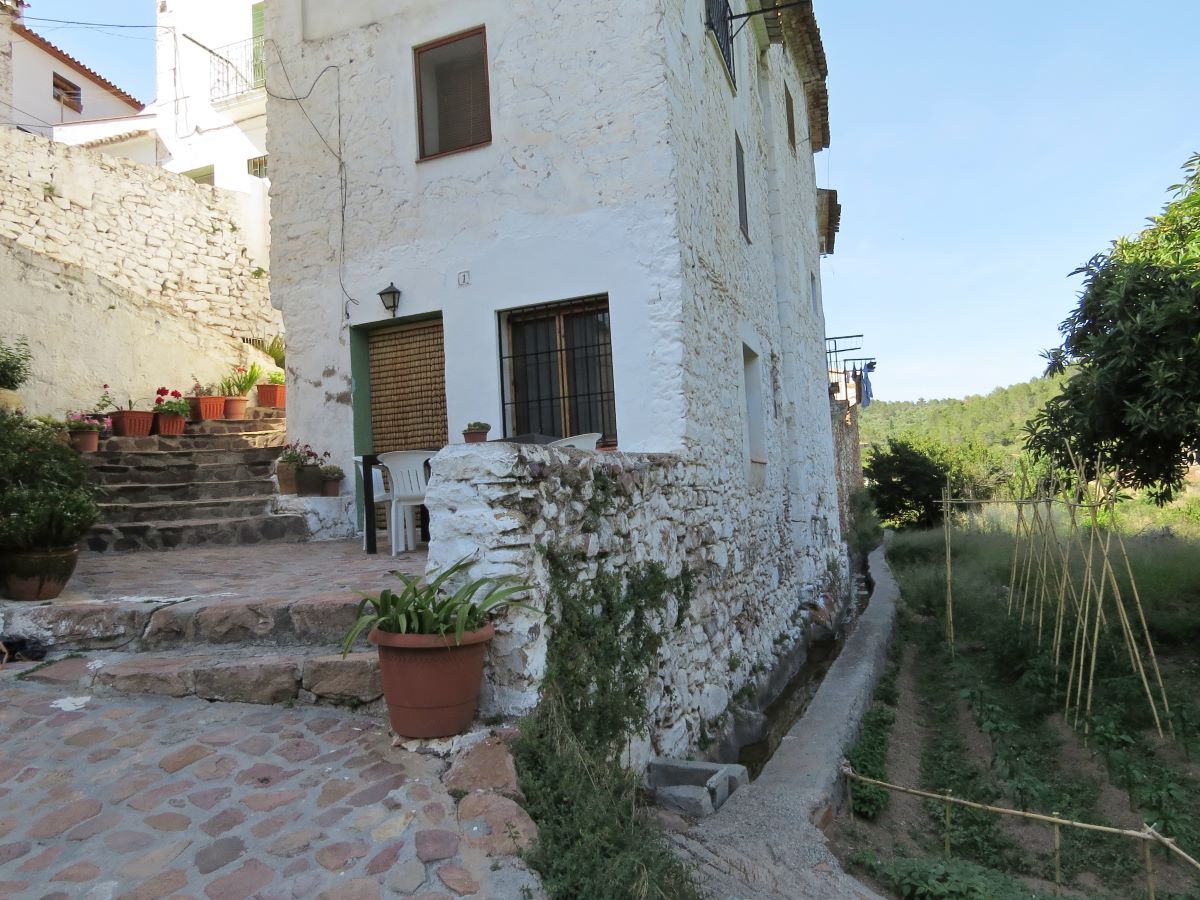
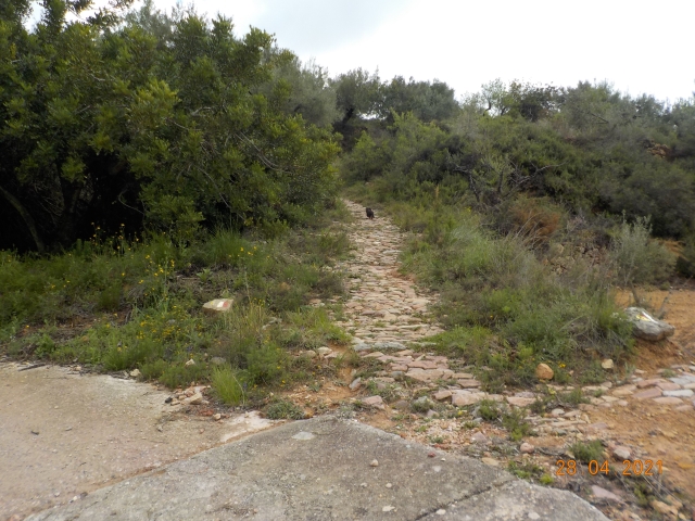
A beautiful path immersed in the Espadán mountain range, which runs through the municipality of Aín, revealing its rich natural and cultural heritage.

Trail:
Loop
Technical data:
Length:
4,70 km
Estimated walking time:
01:40:00
Elevation gain:
215 m
Elevation loss:
215 m
MIDE ratings:
Level of natural risks:
3
Navigation on the trail:
2
Hiking difficulty:
2
Fitness level needed:
2

More information on Montaña Segura

Difficulty rating according to FEDME:
Unknown
Starting point:
Interest Tags:
Trail with environmental interes

Useful information:
Date of certification:
28-02-2025
Date of the last Quality Control:
february de 2025
Reference municipality:
District:
Province:
Castellón/Castelló
Cartography IGN MTN25:
0640-3, 0640-4

Downloadable from the Catalogue of the IGN Map Library

See other trails of this promoter:
Protected Natural Spaces:

We advise you to look up the regulations and/or authorisations for using the trails in these conservation areas on the website of the Conselleria de Medio Ambiente, Agua, Infraestructuras y Territorio

  • Sierra de Espadán (Natural Park)
  • Sierra de Espadán (SPAB - Special Protection Area for Birds)
  • Sierra de Espadán (SIC - Site of Community Interest)
Key points of the route:

Aín – PR-CV 140 and SL-CV 28 connection – Fuente de la Basseta (spring) – GR 33, GR 333 and PR-CV 140 connection – Trincheras (trenches) – Peña de la Campana (peak) – Cruz (cross) – GR 333 connection – Aín

Route description (only available in Spanish)

Nos dirigimos a la plaza del Ayuntamiento que cruzamos por el bar de la cooperativa y buscar la calle de la Sequieta que nos saca de la localidad por una bonita zona de cultivo junto al barranco de Eslida.

Seguimos el barranco para dirigirnos a la CV-233, que tomamos a la izquierda, pasando por el mirador de Aín. A escasos metros seguimos un camino por la derecha que nos conduce a la fuente de la Basseta. Desde allí, tomamos una senda ascendente que al rato desemboca en un bonito collado. Continuamos por pista enlazando un pequeño tramo con los senderos GR 333, GR 36 y PR-CV 140 para, al poco, dejarlos en sentido ascendente.

Pasamos tramos de antiguas trincheras que nos llevarán a la cima de la peña de la Campana y sus características antenas. Desde allí, tomamos una pista en sentido descendente pasando junto a un monolito con una cruz, recuerdo de los acontecimientos de la Guerra Civil que allí se vivieron. Seguimos el descenso alternando tramos de pista y senda por amplias zonas de olivares hasta llegar de nuevo a la carretera CV-223. Ya en la carretera, la seguimos hasta llegar de nuevo a Aín.

Downloads:

Beware! Navigation devices may fail, batteries may run out of power and devices may break down. Do not use only electronic means to track your activities in the mountains; they must be used as a complement to the map and compass. Get some proper training and enjoy the mountains.

Other trails connecting with this trail