
GR 333 E02 SUERAS - AÍN
Promoter: Mancomunidad Espadán Mijares
Certification status: Valid
0 reviews
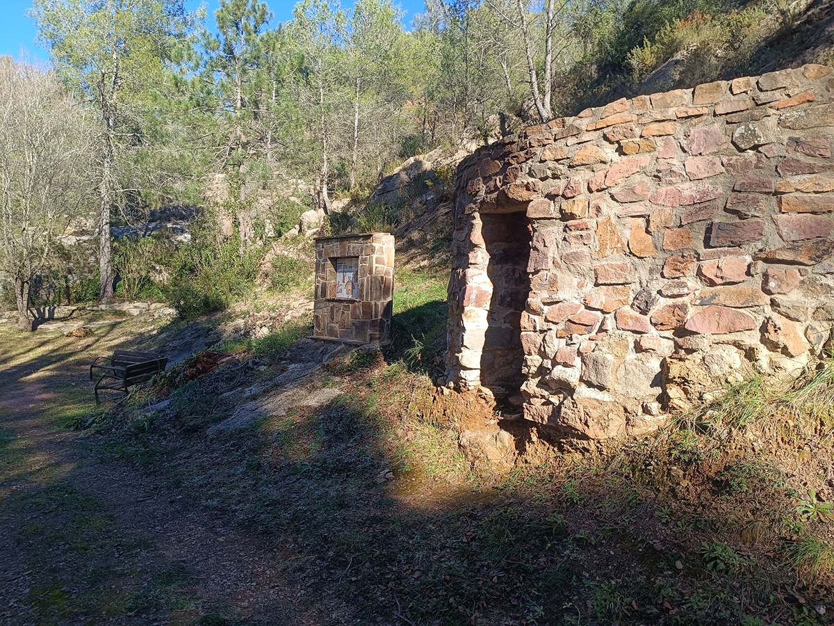
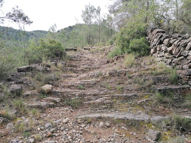
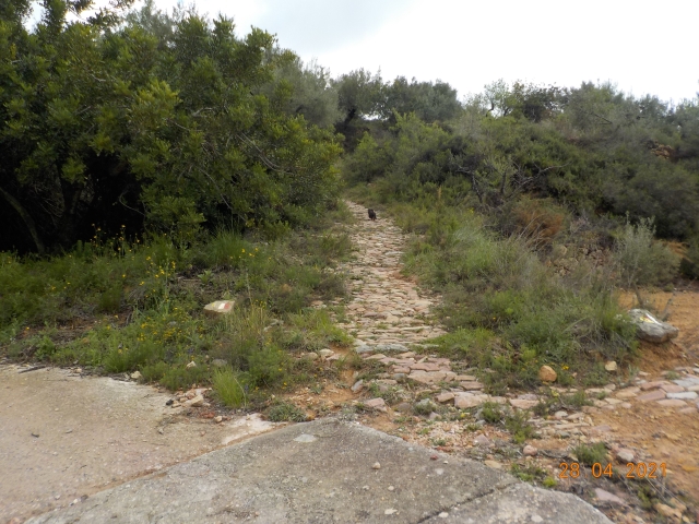
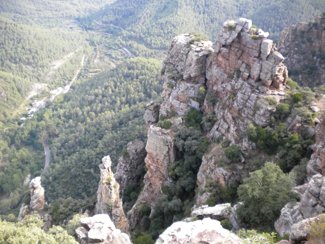
Sueras has a mountainous relief as it is located in the last spurs of the Sierra de Espadán mountain range, with a gradual descent in altitude and harshness of the relief on its way towards the Plana region. This relief has a clear influence on the landscape: pine and cork oak forests with terraces of dry and irrigated land in between.
Trail:
One way (point-to-point)
Main

Reference municipality: Tales
Length: 105,40 km
Estimated walking time: 36:10:00
Elevation gain: 4.650 m
Elevation loss: 5.650 m
(1)
Previos stage
GR 333 E01 TALES - SUERAS
Promoter: Mancomunidad Espadán Mijares
Certification status: Valid
Etapa número: 1
Reference municipality: Tales
Length: 3,50 km
Estimated walking time: 01:15:00
Elevation gain: 215 m
Elevation loss: 130 m
(0)
Next stage
GR 333 E03 AÍN - ALCÚDIA DE VEO
Promoter: Mancomunidad Espadán Mijares
Certification status: Valid
Etapa número: 3
Reference municipality: Ain
Length: 3,60 km
Estimated walking time: 01:15:00
Elevation gain: 160 m
Elevation loss: 190 m
(0)
Other trails connecting with this trail
SL-CV 27 PASEO DE LA PEÑA PASTOR Y EL GURUGÚ
Promoter: Ayuntamiento de Aín
Certification status: Negative quality control
Reference municipality: Ain
Length: 6,90 km
Estimated walking time: 03:00:00
Elevation gain: 505 m
Elevation loss: 505 m
(0)
SL-CV 28 CAMINO DEL PALOMAR Y BARRANCO DE ESLIDA
Promoter: Ayuntamiento de Aín
Certification status: Negative quality control
Reference municipality: Ain
Length: 4,40 km
Estimated walking time: 01:30:00
Elevation gain: 180 m
Elevation loss: 180 m
(0)
SL-CV 29 EL ENCANTO DEL CALAR
Promoter: Ayuntamiento de Aín
Certification status: Conditioned quality control
Reference municipality: Ain
Length: 4,70 km
Estimated walking time: 01:40:00
Elevation gain: 215 m
Elevation loss: 215 m
(0)
GR 36 SIERRA DE ESPADÁN
Promoter: Parque Natural de la Sierra de Espadán
Certification status: See stages
Reference municipality: Vilavella (La)
Length: 60,10 km
Estimated walking time: 19:20:00
Elevation gain: 2.815 m
Elevation loss: 2.200 m
(1)
PR-CV 136 VILLAMALUR - SUERAS
Promoter: Ayuntamiento de Villamalur, Sueras y Societat d'Amics de la Serra d'Espadà
Certification status: Negative quality control
Reference municipality: Villamalur
Length: 7,50 km
Estimated walking time: 02:05:00
Elevation gain: 120 m
Elevation loss: 475 m
(0)
PR-CV 140 AIN - SUERAS POR BENITANDÚS
Promoter: Societat d'Amics de la Serra d'Espadà
Certification status: Positive quality control
Reference municipality: Ain
Length: 8,50 km
Estimated walking time: 02:55:00
Elevation gain: 305 m
Elevation loss: 500 m
(0)
Reference municipality: Onda
Length: 39,40 km
Estimated walking time: 12:15:00
Elevation gain: 1.160 m
Elevation loss: 1.160 m
(0)