
GR 333 E01 TALES - SUERAS
Promoter: Mancomunidad Espadán Mijares
Certification status: Valid
0 reviews
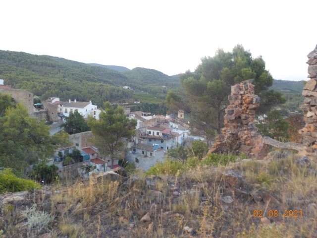
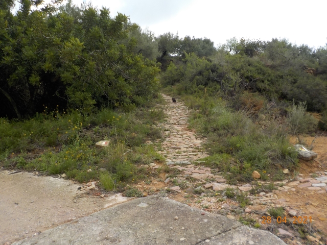
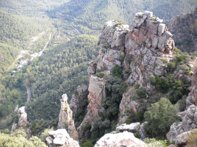
You are in Tales, at the gates of the Sierra de Espadán mountain range. The landscape is characterised by small valleys that widen as they overlook the course of the Veo river. Irrigated lands alternate with dry ones and dense wooded areas of pines, holm oaks and cork oaks.
Trail:
One way (point-to-point)
Main

Reference municipality: Tales
Length: 105,40 km
Estimated walking time: 36:10:00
Elevation gain: 4.650 m
Elevation loss: 5.650 m
(1)
Next stage
GR 333 E02 SUERAS - AÍN
Promoter: Mancomunidad Espadán Mijares
Certification status: Valid
Etapa número: 2
Reference municipality: Suera/Sueras
Length: 9,30 km
Estimated walking time: 03:20:00
Elevation gain: 555 m
Elevation loss: 375 m
(0)
Other trails connecting with this trail
PR-CV 139 TALES - PEÑAS ARAGONESAS
Promoter: Societat d'Amics de la Serra d'Espadà
Certification status: Negative quality control
Reference municipality: Tales
Length: 10,87 km
Estimated walking time: 02:45:00
Elevation gain: 330 m
Elevation loss: 265 m
(0)
PR-CV 140 AIN - SUERAS POR BENITANDÚS
Promoter: Societat d'Amics de la Serra d'Espadà
Certification status: Positive quality control
Reference municipality: Ain
Length: 8,50 km
Estimated walking time: 02:55:00
Elevation gain: 305 m
Elevation loss: 500 m
(0)
Reference municipality: Onda
Length: 39,40 km
Estimated walking time: 12:15:00
Elevation gain: 1.160 m
Elevation loss: 1.160 m
(0)