
GR 333 E05 VILLAMALUR - TORRALBA DEL PINAR
Promoter: Mancomunidad Espadán Mijares
Certification status: Valid
1 review
It is located on a mountain high above fields and ravines, in the northwest of the Sierra de Espadán Natural Park. The relief is very rugged, with an average altitude of 700 m and the Alto del Pinar, at 1047 m, stands out among its mountains. Large areas of woodland with pines, cork oaks and holm oaks predominate.
Trail:
One way (point-to-point)
Main

Reference municipality: Tales
Length: 105,40 km
Estimated walking time: 36:10:00
Elevation gain: 4.650 m
Elevation loss: 5.650 m
(1)
Previos stage
GR 333 E04 ALCÚDIA DE VEO - VILLAMALUR
Promoter: Mancomunidad Espadán Mijares
Certification status: Valid
Etapa número: 4
Reference municipality: Alcudia de Veo
Length: 13,50 km
Estimated walking time: 04:35:00
Elevation gain: 650 m
Elevation loss: 485 m
(0)
Next stage
GR 333 E06 TORRALBA DEL PINAR - FUENTES DE AYÓDAR
Promoter: Mancomunidad Espadán Mijares
Certification status: Valid
Etapa número: 6
Reference municipality: Torralba del Pinar
Length: 6,00 km
Estimated walking time: 01:55:00
Elevation gain: 90 m
Elevation loss: 315 m
(0)
Other trails connecting with this trail
GR 36 SIERRA DE ESPADÁN
Promoter: Parque Natural de la Sierra de Espadán
Certification status: See stages
Reference municipality: Vilavella (La)
Length: 60,10 km
Estimated walking time: 19:20:00
Elevation gain: 2.815 m
Elevation loss: 2.200 m
(1)
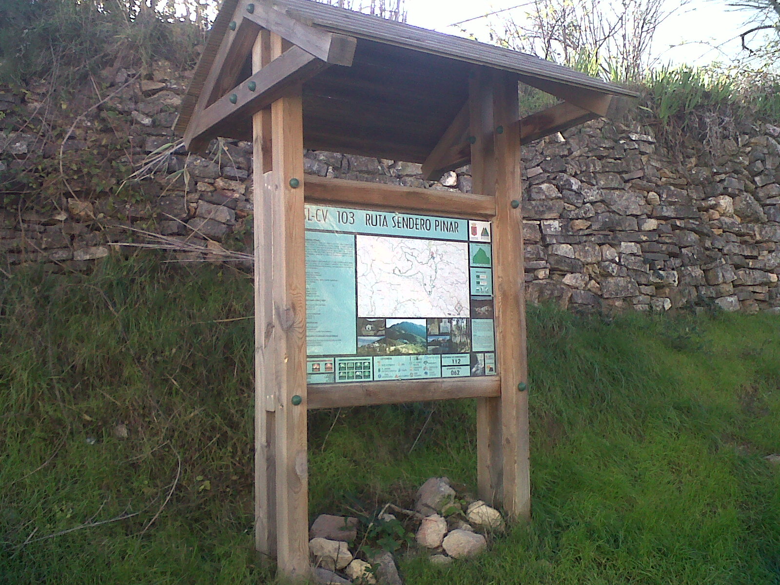
SL-CV 103 SENDERO PINAR
Promoter: Ayuntamiento de Torralba del Pinar
Certification status: No quality controls
Reference municipality: Torralba del Pinar
Length: 7,20 km
Estimated walking time: 02:50:00
Elevation gain: 460 m
Elevation loss: 460 m
(0)
PR-CV 276 SENDERO DE AYODAR
Promoter: Ayuntamiento de Ayódar
Certification status: No quality controls
Reference municipality: Ayódar
Length: 16,20 km
Estimated walking time: 05:20:00
Elevation gain: 770 m
Elevation loss: 770 m
(0)