Rate this trail

PR-CV 398 AYODAR - MODROÑAL - MORRONES - AYODAR

Promoter: Ayuntamiento de Ayódar

Certification status: No quality controls

0 reviews

There is no proof of quality control on the record of this trail in the last years. For this reason, it is unknown whether it complies with the optimal signage and maintenance conditions for hikers to take the trail following these signs exclusively.
Hikers have to take into consideration that the information about the signage and maintenance of the trails for which the promoter entity is responsible might not be up to date anymore, since it refers to its state on the date of its approval. Furthermore, mountain sports entail risks associated with the activity itself and the environment where they take place, for which any person is fully liable. For this reason, hikes need to be planned properly and adequate training, equipment and sensible use of the trails are required.

Trail:
Loop
Technical data:
Length:
14,30 km
Estimated walking time:
04:50:00
Elevation gain:
600 m
Elevation loss:
600 m
MIDE ratings:
Level of natural risks:
1
Navigation on the trail:
2
Hiking difficulty:
2
Fitness level needed:
3

More information on Montaña Segura

Difficulty rating according to FEDME:
Unknown
Starting point:
Interest Tags:
Trail with environmental interes
Useful information:
Date of certification:
15-06-2010
Reference municipality:
District:
Province:
Castellón/Castelló
Cartography IGN MTN25:
0640-1

Downloadable from the Catalogue of the IGN Map Library

See other trails of this promoter:
Protected Natural Spaces:

We advise you to look up the regulations and/or authorisations for using the trails in these conservation areas on the website of the Conselleria de Medio Ambiente, Agua, Infraestructuras y Territorio

  • Serra d'Espadà (Natural Park)
  • Serra d'Espadà (SIC - Site of Community Interest)
  • Sierra de Espadán (SPAB - Special Protection Area for Birds)
Key points of the route:

Fuente larga (spring) - access to campsite - track intersection - CV-205 road - traditional path from Ayódar to Onda - dirt track - path - Modriñal - Corral del Juto track - CV-202 road from Villamalur - path - Fuente los Usteros (spring), Corral del Juto track - track intersection - Rambla de Villamalur (wadi) - Los Morrones - dirt track - Los Morrones - Reca - Castillo de Ayodar (fort)

Route description (only available in Spanish)
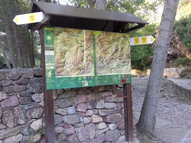
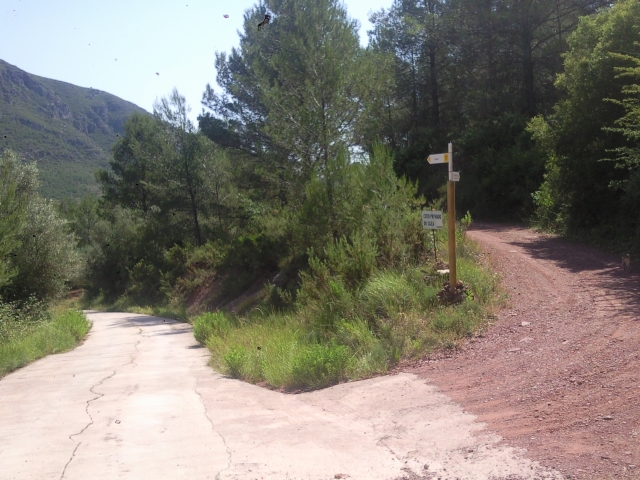
El sendero comienza en la Fuente Larga. Ascenderemos por una senda situada detrás del panel y seguiremos hasta llegar a cruzar la carretera donde tomaremos la pista que sale a la derecha e iremos paralelamente acompañando a la rambla que quedará a nuestra derecha encontraremos poste de seguimiento para guiarnos. El sendero llega de nuevo hasta la carretera donde la cruzaremos de nuevo y nos desviaremos en la primera pista que nos encontremos a nuestra izquierda, orientándonos con el poste de dirección.
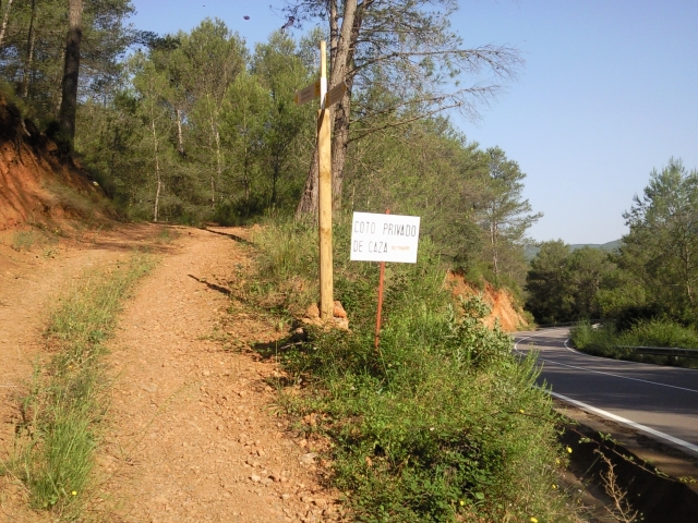
Ascenderemos por el barranco de la Canaleta observando tres postes de seguimiento hasta cruzar de nuevo la carretera, la cual tomaremos hacia la derecha para dejarla por una senda que sigue recto en la primera curva de la carretera que nos encontramos, junto a un mojón. Esta vez andamos por la parte de la solana , donde se pueden observar unas impresionantes vistas panorámicas de la Sierra de Espadán, situándonos aquí en el punto de mayor cota sobre el nivel del mar del recorrido con una altitud aproximada de 630metros. Contemplamos las tres montañas más altas de la Sierra de Espadán, El Rápita, Espadán y El Pinar.
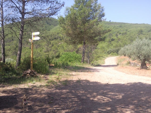
El sendero termina cuando se cruza con una pista que tomaremos a la izquierda en el cual hay un poste de dirección donde podemos desviarnos hacia el pueblo saliéndonos de la ruta. Descendemos por la pista durante un par de kilómetros y nos adentramos en el Barranco del Morrones gozando de un paisaje peculiar donde las rocas han sido erosionadas con el paso del tiempo por el agua donde antaño debían pasar grandes caudales. Terminamos el barranco en un camino en el cual nos desviaremos hacia la izquierda y llegaremos a un poste de dirección el cual nos indica que enlazamos en este punto con el PR-CV 276. Cogemos el camino de nuestra derecha hasta llegar de nuevo a otro poste de dirección que nos desvía por la derecha para dirigirse hacia el castillo para descender por la parte trasera y llegar de nuevo al punto de partida.
 
Downloads:

Beware! Navigation devices may fail, batteries may run out of power and devices may break down. Do not use only electronic means to track your activities in the mountains; they must be used as a complement to the map and compass. Get some proper training and enjoy the mountains.

Other trails connecting with this trail