
SL-CV 105 SENDA DE LA BOJERA
Promoter: Ayuntamiento de Montanejos
Certification status: No quality controls
There is no proof of quality control on the record of this trail in the last years. For this reason, it is unknown whether it complies with the optimal signage and maintenance conditions for hikers to take the trail following these signs exclusively.
Hikers have to take into consideration that the information about the signage and maintenance of the trails for which the promoter entity is responsible might not be up to date anymore, since it refers to its state on the date of its approval. Furthermore, mountain sports entail risks associated with the activity itself and the environment where they take place, for which any person is fully liable. For this reason, hikes need to be planned properly and adequate training, equipment and sensible use of the trails are required.
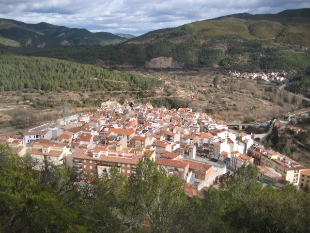
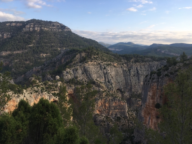
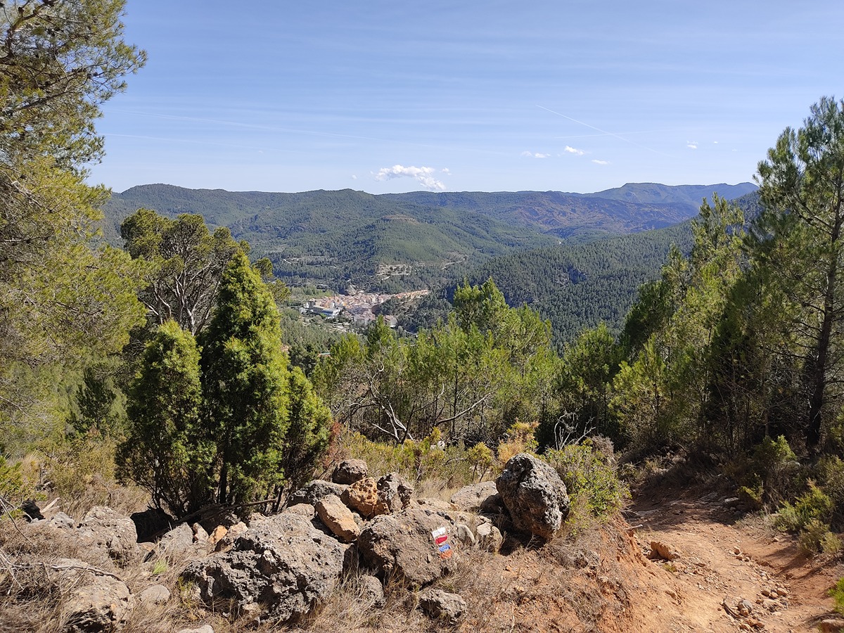
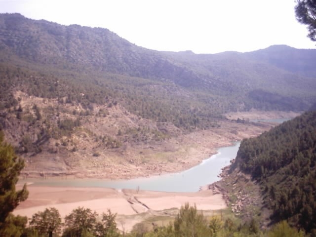
The Bojera trail is one of the most classic and popular routes in Montanejos, mainly due to its numerous natural elements of interest and its impressive views of the Maimona ravine.
Other trails connecting with this trail
GR 7 E32 SAN VICENTE DE PIEDRAHITA - MONTANEJOS
Promoter: Generalitat Valenciana
Certification status: Positive quality control
Etapa número: 32

GR 36 E06 TORRALBA DEL PINAR- MONTANEJOS
Promoter: Parque Natural de la Sierra de Espadán
Certification status: Negative quality control
Etapa número: 6
GR 160 E02 PUEBLA DE ARENOSO – MONTANEJOS
Promoter: O.A.L. Patronato Provincial de Turismo de Castellón
Certification status: No quality controls
Etapa número: 2