Cambiar idioma a español / Cambiar idioma a english / Cambiar idioma a valencià

Rate this trail

SL-CV 122 SENDA DELS NEVATERS

Promoter: Ayuntamiento de Salem

Certification status: Positive quality control

0 reviews

The SL-CV 122 revives an ancient route used by snow traders from the 16th century onwards to transport compressed snow, stored during the winter in mountain snow wells such as those of El Paller and La Barcella, down to Xàtiva and the Ribera del Xúquer.

Trail:
Loop with some overlapping out and back sections
Technical data:
Length:
9,70 km
Estimated walking time:
03:30:00
Elevation gain:
460 m
Elevation loss:
460 m
MIDE ratings:
Level of natural risks:
2
Navigation on the trail:
2
Hiking difficulty:
3
Fitness level needed:
2

More information at Montaña Segura

Difficulty rating according to FEDME:
Unknown
Starting point:
Useful information:
Date of certification:
26-06-2010
Date of the act of registration in the Public Register:
20-10-2015
Date of the last Quality Control:
june de 2026
Reference municipality:
Other municipalities through which it passes:
District:
Province:
Valencia/València
Cartography IGN MTN25:
0795-3; 0795-4

You can download them from the IGN Map Library Catalog

See other trails of this promoter:
Protected Natural Spaces:

It is recommended to consult the regulations and/or authorizations for the use of trails in these protected natural areas on the website of the Regional Ministry of Environment, Water, Infrastructure, and Territory

  • Serpis (Protected Landscape)
Weather information:
Nearest AVAMET weather station
Key points of the route:

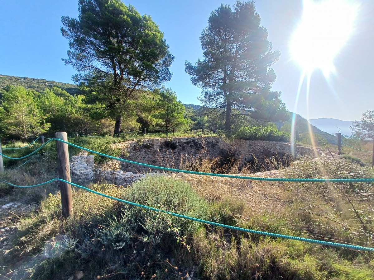
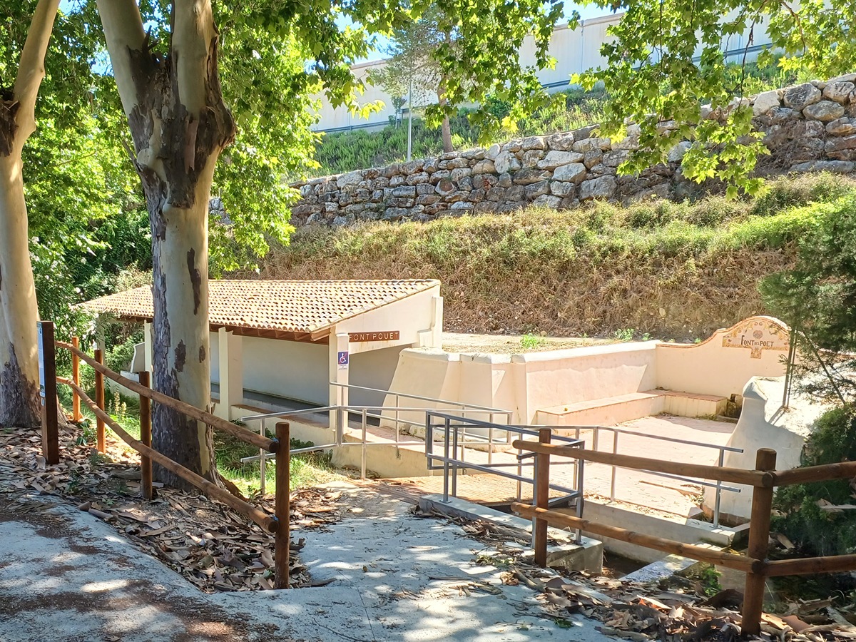
Salem - Fuente y lavadero del Poet (spring) - Pinturas rupestres del bco. de les Coves (cave paintings) - Fuente de la Barcella (spring) - Caseta del Sastre (old rural house) - Nevera del Paller (ice house) - Nevera de la Barcella (ice house) - Mirador del Águila (viewpoint) - CV-705 (road) - CV-614 (road) - Salem

Route description (only available in Spanish)

Seguimos por la calle del Forn hasta la plaza Mayor para salir de la localidad por la calle de Sant Francesc a la fuente y lavadero del Poet. Cruzamos el barranco de la Canal y subimos por la vía de servicio del polígono industrial para salir a la CV-705 que tomamos a la derecha para subir por el camino de acceso a las pinturas rupestres del barranco de les Coves.

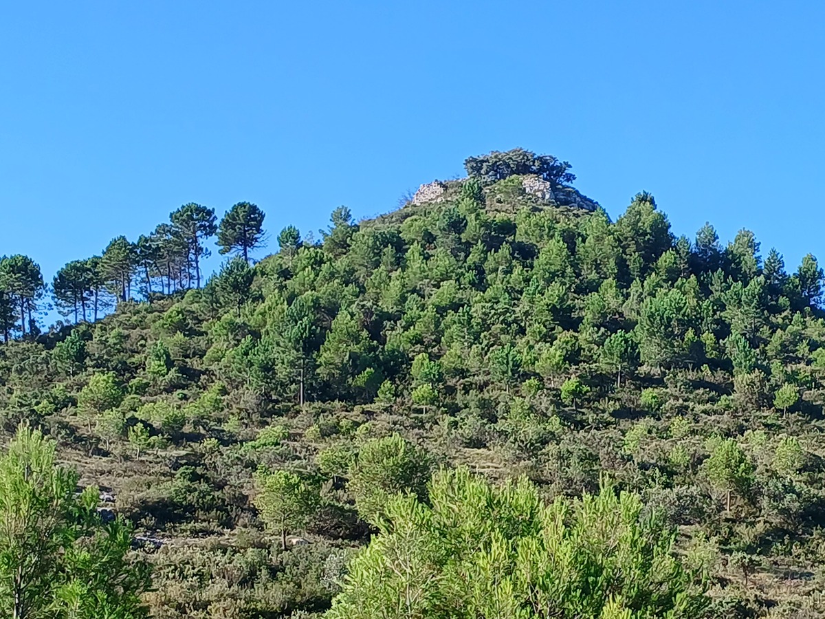
Seguimos en ascenso hasta la fuente de la Barcella para continuar por un sendero que nos lleva a la caseta del Sastre y, más arriba, a la pista del corral de Poldo que tomamos a la izquierda hasta el cruce que no permite visitar la nevera del Paller. Volvemos a la pista para bordear la loma del castillo de la Barcella hasta la parte alta donde nos acercaremos a la nevera de la Barcella.

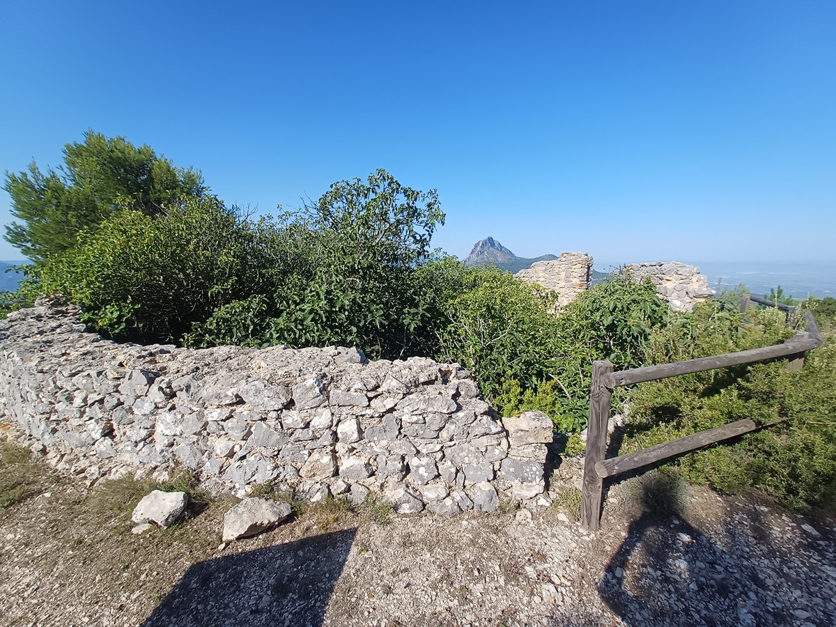
Volvemos al cruce y en el mirador del Águila tomaremos una senda en el inicio del barranco del Llop. Al poco dejaremos a la izquierda el corral del Roig. Durante la bajada encontraremos varios miradores. 

Llegamos a un camino y más adelante bordeamos una casa para seguir de nuevo por senda. Cruzamos la CV-705 para salir a la CV-614. Cruzamos el puente y entramos a Salem por la C/ de la Verge para buscar la iglesia, la plaza Mayor y la calle del Forn hasta la plaza de Jaume I.

Downloads:

Beware! Navigation devices may fail, batteries may run out of power and devices may break down. Do not use only electronic means to track your activities in the mountains; they must be used as a complement to the map and compass. Get some proper training and enjoy the mountains.

Comments:

Other trails connecting with this trail