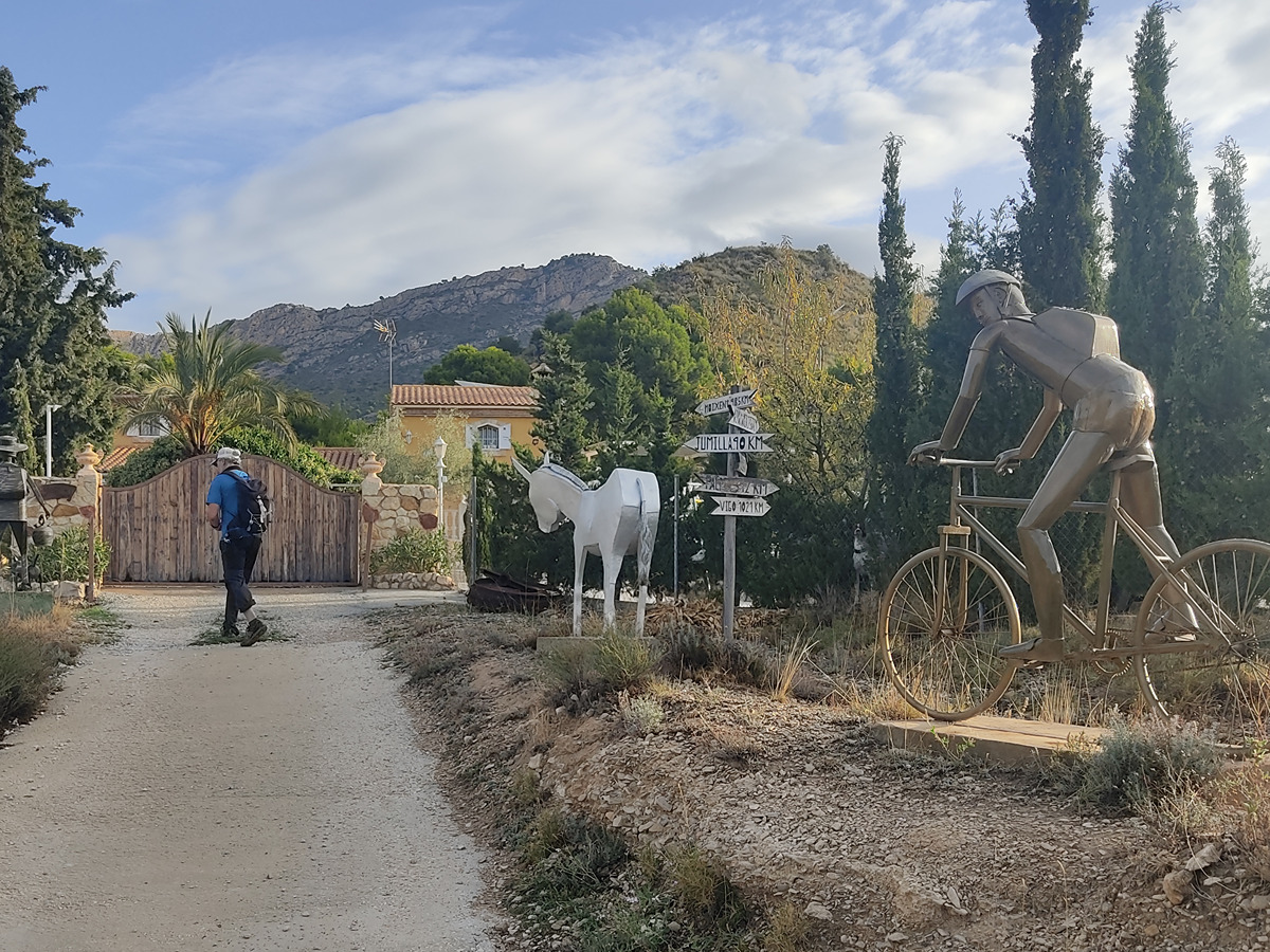
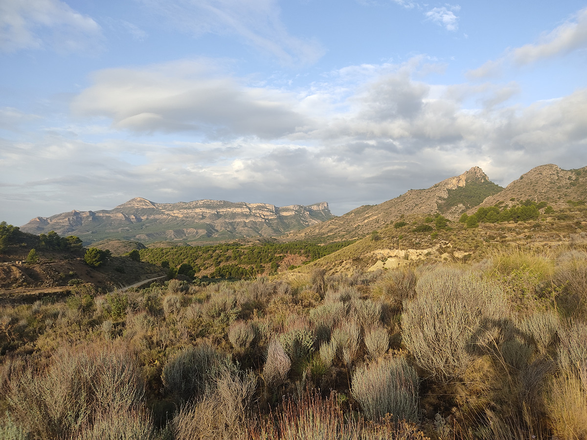
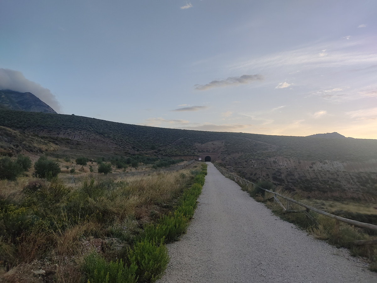
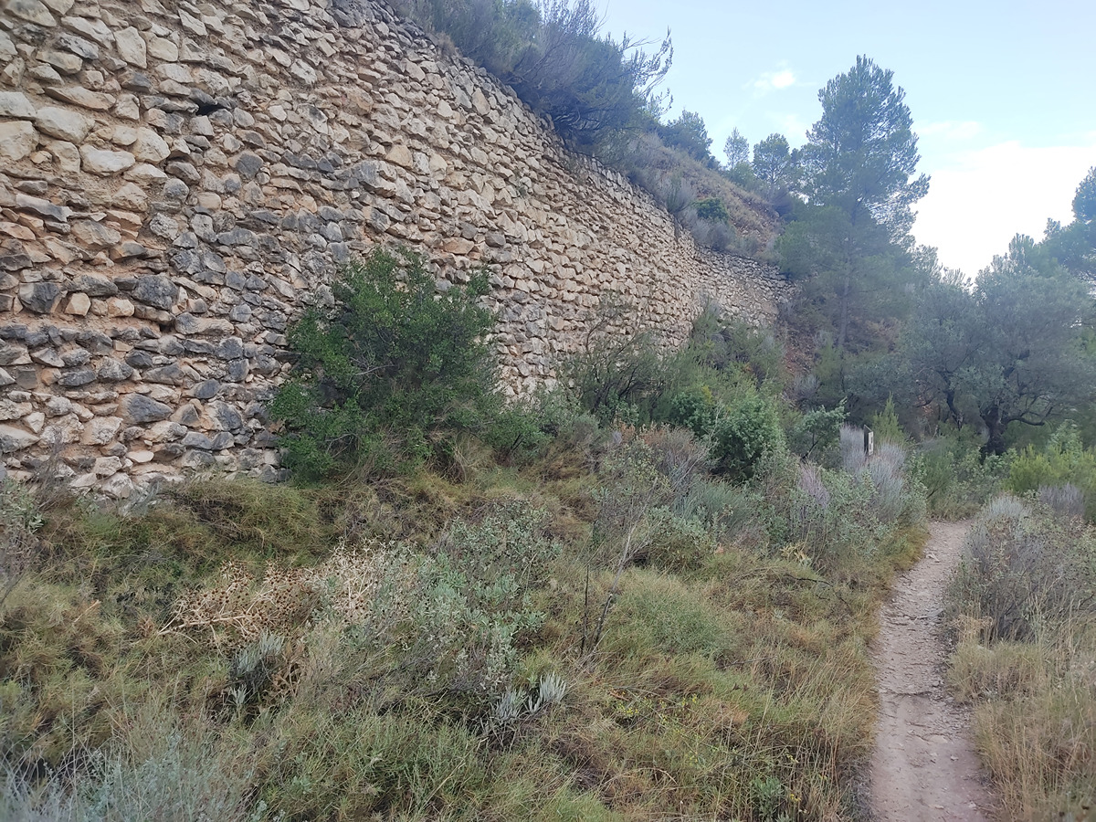
Itinerary that runs between the greenway and the foothills of the Maigmó mountain range, taking you to different constructions and places related to water in the municipality of Agost.
More information on Montaña Segura
Downloadable from the Catalogue of the IGN Map Library
We advise you to look up the regulations and/or authorisations for using the trails in these conservation areas on the website of the Conselleria de Medio Ambiente, Agua, Infraestructuras y Territorio
Via Verde del Maigmó (green way) - PR-CV 430 connection - End of PR-CV 430 connection - intersection (PR-CV 142 connection) - Fork to the source of el Estret - PR-CV 142 connection - Dam at the source of el Estret (PR-CV 142 connection) - Via Verde del Maigmó (green way)
El sendero se inicia en el km 15 de la vía verde del Maigmó. En un principio enlaza con el PR-CV 430 siguiendo por pista, cruzamos un túnel y continuamos con un embalse a nuestra izquierda, hasta tomar una pista a derechas, en el que abandonamos el PR-CV 430. Seguimos en pequeño ascenso que nos lleva a un cruce de caminos, tomamos el de la derecha, que enlaza con el PR-CV 142, que seguimos a la par que el SL-CV 143 por pista y en sentido ascendente, hasta llegar a un cruce donde dejaremos el PR-CV 142. Tomamos una estrecha senda entre pinares en sentido descendente, que desemboca en el paraje de la Presa del Nacimiento del Estret. Desde aquí continuamos por pista hasta llegar de nuevo al cruce de caminos para tomar la pista que nos conduce a la presa de la Murtera y al poco de nuevo a la vía verde donde iniciamos el itinerario.
Beware! Navigation devices may fail, batteries may run out of power and devices may break down. Do not use only electronic means to track your activities in the mountains; they must be used as a complement to the map and compass. Get some proper training and enjoy the mountains.