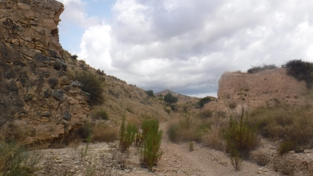
Cambiar idioma a español / Cambiar idioma a english / Cambiar idioma a valencià

Rate this trail

SL-CV 155 BARRANCO DE COCONS - MINAS DE L'OCRE

Promoter: Ayuntamiento de Mutxamel

Certification status: Conditioned quality control

0 reviews

Following the inspection carried out by trail technicians, this trail has been declared of "limited adequacy" as a result of the faults detected in the signage. These include inadequate horizontal signs (paint markers) and/or vertical ones (trailheads and information boards) or lacking direction markers that do not provide sufficient information to properly follow the route. The builder of this trail has been informed of the situation.
For safety reasons and during maintenance work, it is advised to be extremely careful while taking this route. Furthermore, mountain sports entail risks associated with the activity itself and the environment where they take place, for which any person is fully liable. For this reason, hikes need to be planned properly and adequate training, equipment and sensible use of the trails are required.

Circular trail that runs along the entire course of the Cocons ravine, featuring magnificent natural rock formations inside the ravine. It passes by the ochre mines, which were active until the mid-20th century, and returns via the Cocons path.

Trail:
Loop with some overlapping out and back sections
Technical data:
Length:
6,30 km
Estimated walking time:
02:25:00
Elevation gain:
145 m
Elevation loss:
145 m
MIDE ratings:
Level of natural risks:
2
Navigation on the trail:
2
Hiking difficulty:
3
Fitness level needed:
2

More information on Montaña Segura

Difficulty rating according to FEDME:
Unknown
Useful information:
Date of certification:
15-11-2010
Date of the last Quality Control:
july de 2025
Reference municipality:
Otros municipios por los que transcurre:
District:
Province:
Alicante/Alacant
Cartography IGN MTN25:
0871-2; 0872-1

Downloadable from the Catalogue of the IGN Map Library

See other trails of this promoter:
Protected Natural Spaces:

We advise you to look up the regulations and/or authorisations for using the trails in these conservation areas on the website of the Conselleria de Medio Ambiente, Agua, Infraestructuras y Territorio

  • Bec del Águila (Municipal Natural Site)
  • Bec del Águila (Flora Micro-reserve)
  • Riu Montnegre (SPAB - Special Protection Area for Birds)
Weather information:
Nearest AVAMET weather station
Key points of the route:

Urbanización Valle del Sol (residential area) – Cocons path junction – Entrane to Cocons ravine - Presa dels Cocons (weir) - Minas de l'Ocre (mines) - Camino dels Cocons (path) - Minas Bec del Águila (mines) - Cocons path junction - Urbanización Valle del Sol (residential area)

Route description (only available in Spanish)

Desde la parte alta de la urbanización Vall del Sol, seguimos el camino de tierra hacia la izquierda, que nos conduce a la hoya del Cura. Allí encontramos el cruce con el camino dels Cocons, donde se ubica la microreserva de flora del Bec de l'Àguila. Nosotros continuamos recto, en busca de la entrada al cauce del barranco.

Una vez en el cauce, lo seguimos aguas arriba. En el recorrido encontramos un paso equipado con anclajes de hierro y algunas zonas que requieren el uso de las manos. Seguiremos siempre por el cauce para mantener la dirección correcta.

Llegamos a la presa dels Cocons, que superamos por el lado izquierdo para volver al cauce. Continuamos hasta alcanzar las minas de l'ocre, actualmente abandonadas. En este punto, salimos hacia la derecha para enlazar con el camino dels Cocons, que seguimos siempre hacia la derecha hasta regresar al cruce con la hoya del Cura y, finalmente, de nuevo al punto de inicio.

Downloads:

Beware! Navigation devices may fail, batteries may run out of power and devices may break down. Do not use only electronic means to track your activities in the mountains; they must be used as a complement to the map and compass. Get some proper training and enjoy the mountains.