ES / EN / VA

Rate this trail

SL-CV 157 RUTA DEL PATRIMONIO - MARJAL DE LA LLOSA

Promoter: Ayuntamiento de La Llosa

Certification status: No quality controls

0 reviews

There is no proof of quality control on the record of this trail in the last years. For this reason, it is unknown whether it complies with the optimal signage and maintenance conditions for hikers to take the trail following these signs exclusively.
Hikers have to take into consideration that the information about the signage and maintenance of the trails for which the promoter entity is responsible might not be up to date anymore, since it refers to its state on the date of its approval. Furthermore, mountain sports entail risks associated with the activity itself and the environment where they take place, for which any person is fully liable. For this reason, hikes need to be planned properly and adequate training, equipment and sensible use of the trails are required.

Trail:
One way (point-to-point)
Technical data:
Length:
0,00 km
Estimated walking time:
01:35:00
Elevation gain:
45 m
Elevation loss:
55 m
MIDE ratings:
Level of natural risks:
1
Navigation on the trail:
2
Hiking difficulty:
1
Fitness level needed:
2

More information on Montaña Segura

Difficulty rating according to FEDME:
Unknown
End Point:
Useful information:
Date of certification:
15-02-2015
Date of the last Quality Control:
august de 2020
Reference municipality:
District:
Province:
Castellón/Castelló
Cartography IGN MTN25:
0668-2; 0669-1; 0669-3

Downloadable from the Catalogue of the IGN Map Library

See other trails of this promoter:
Key points of the route:

Start panel - Llosa viewpoint - Font de la LLosa (spring) - Camino de Cabrera (path) - Marjal de la LLosa (marsh) panel - End panel

Route description (only available in Spanish)

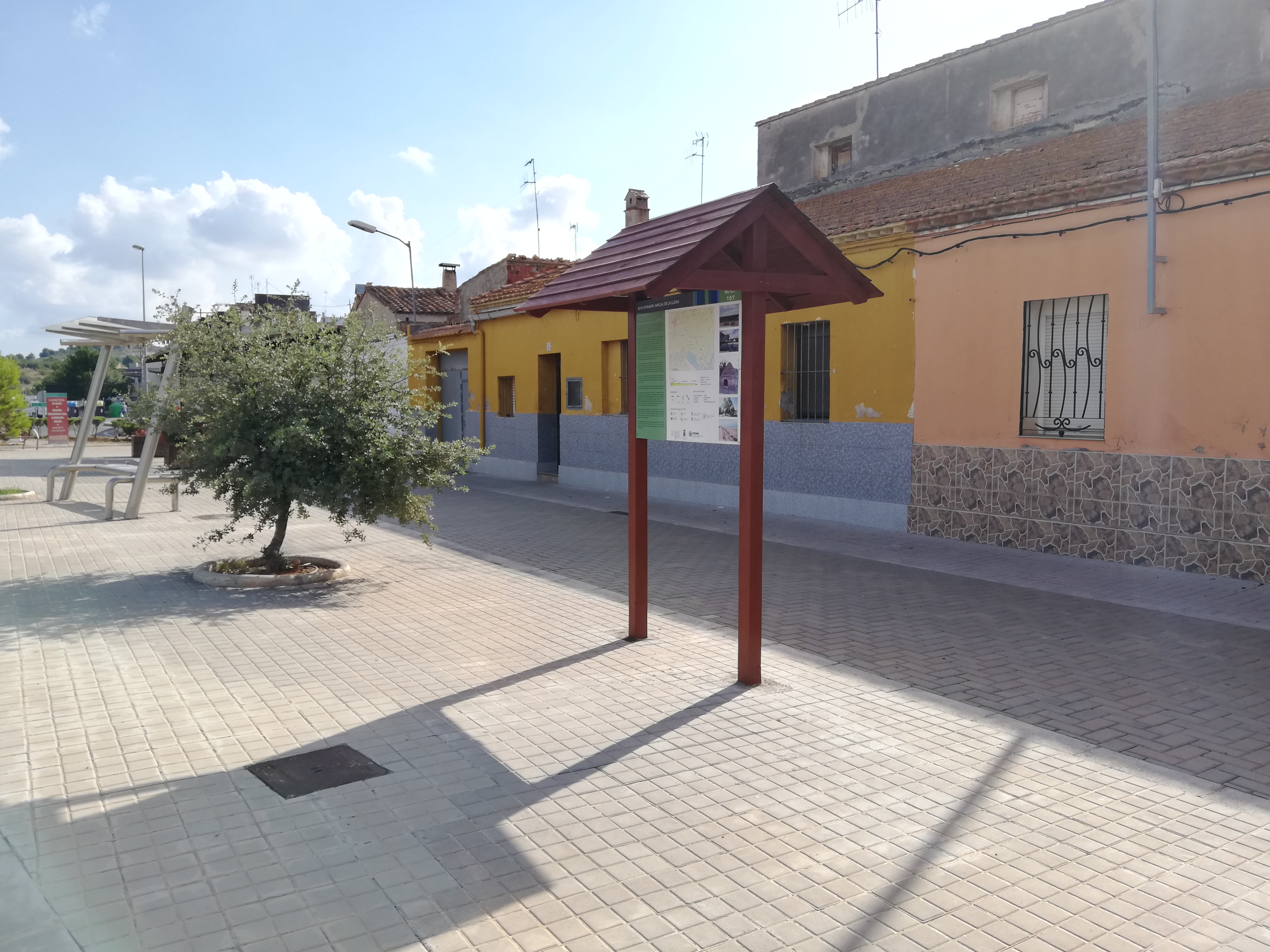
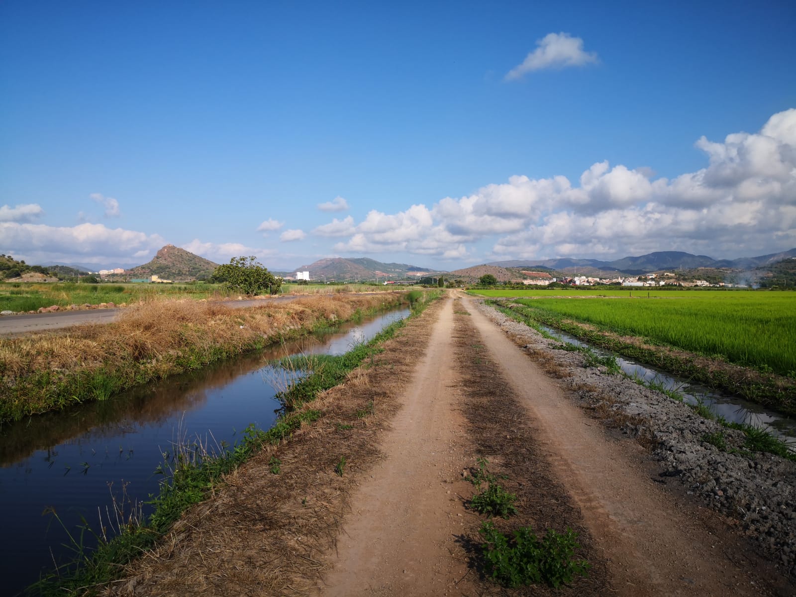
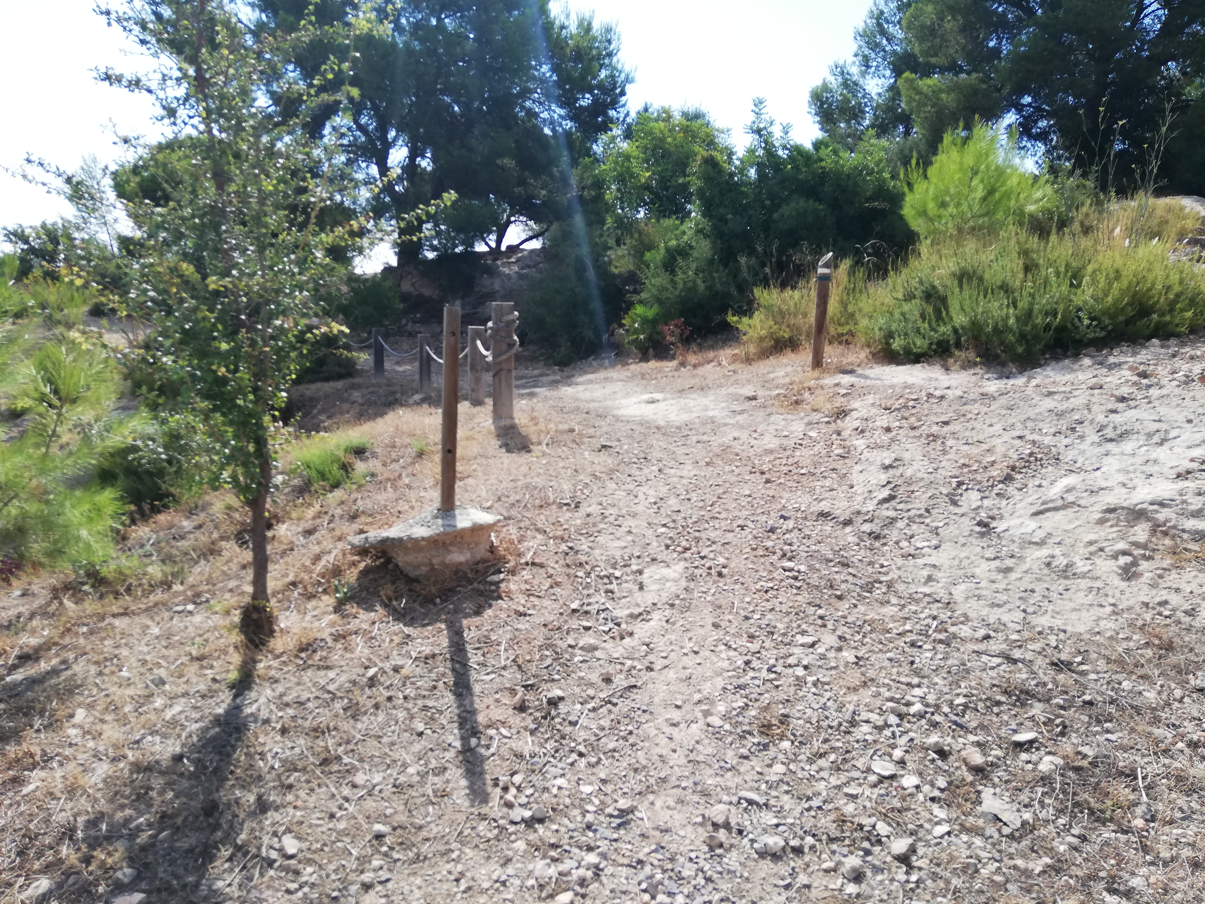
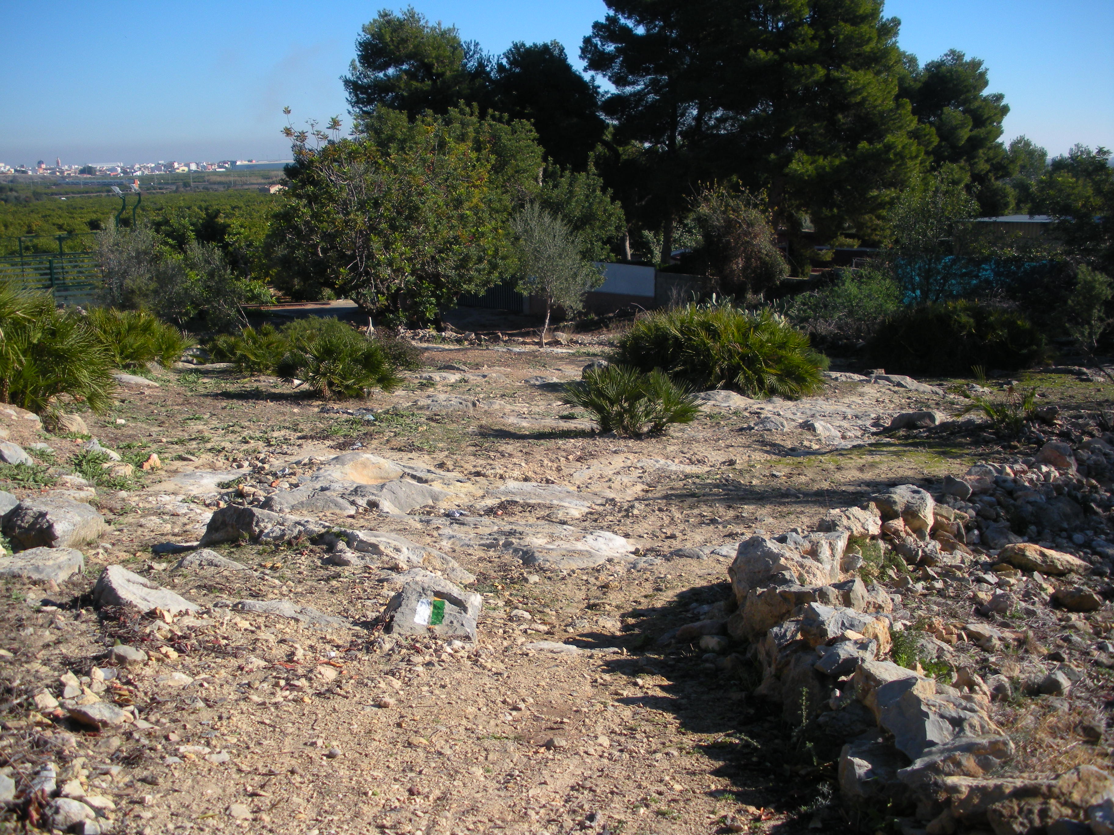
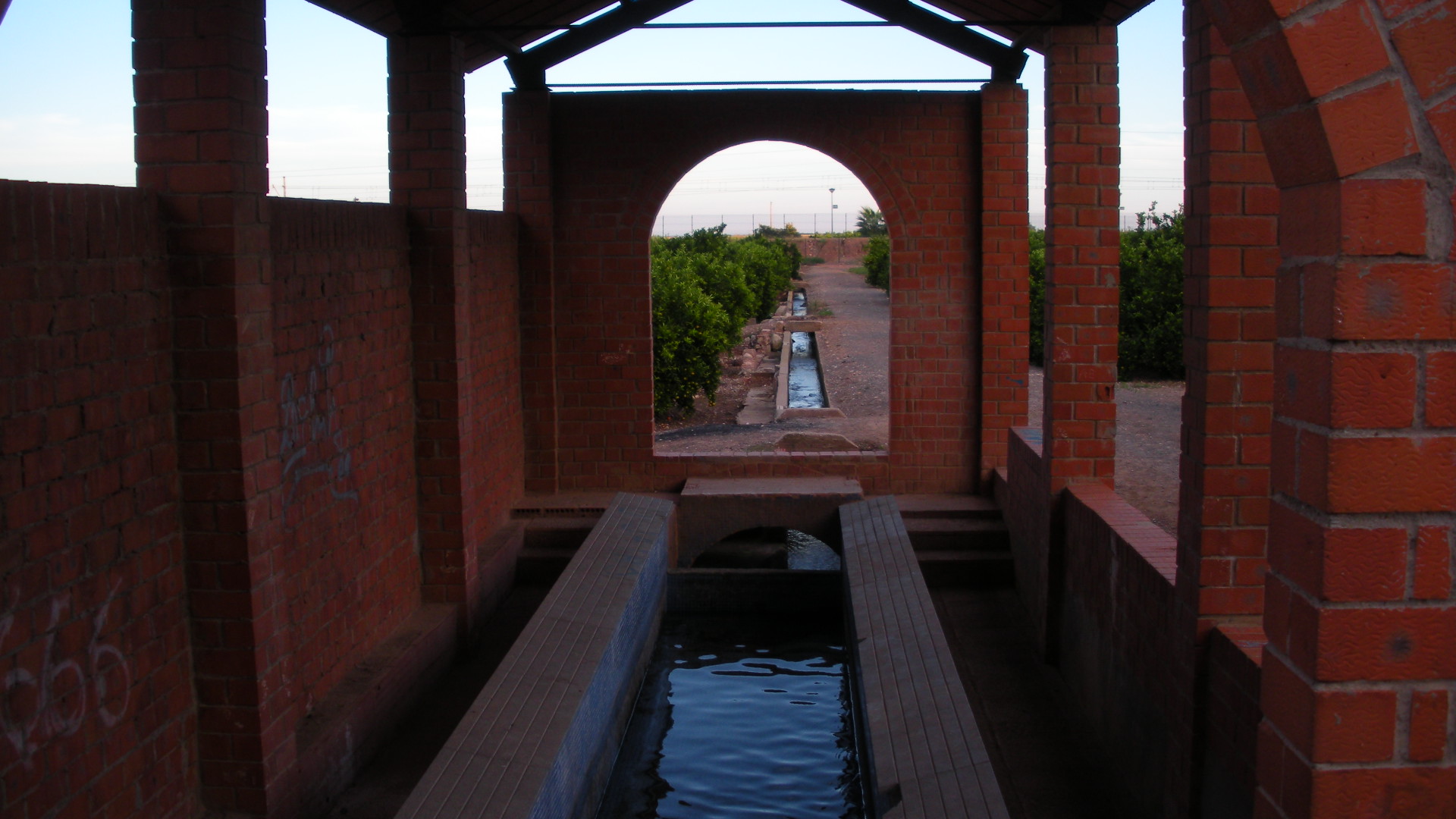
El punto de partida es en la travesía de La Llosa de la carretera nacional 340, junto a la parada de autobuses panel de inicio. Desde ahí, nos dirigimos a la c/ Vall d´Uixo que se encuentra hacia el Noreste del punto de partida y caminamos en dirección este por esta calle,  hacia el centro del casco urbano,pasamos por la plaza de España y salimos en dirección norte subiendo por la c/ Calvario, al final de la misma, girando a la derecha , hasta el mirador de la marjal de la LLosa situado junto al depósito municipal, Descendiendo el pequeño tramo recorrido, llegamos a la c/ Maestro Francisco Molina yendo en dirección oeste y cogemos la primera travesía a la derecha que es la c/ Goya.   al final de la misma encontramos el campo de futbol municipal. Dirigiéndonos a la derecha empezamos el ascenso a la montañita del calvario hasta que,  nos encontramos frente a la fuente de La Llosa,  seguimos junto a la acequia mayor en dirección sureste, entrando en el Paraje del Carcau, Seguiremos ahora hacia el sur marchando de nuevo junto a la acequia mayor, en la C/ Acequia, tras llegar a una glorieta  giraremos en dirección este, subiendo el puente del ferrocarril y  el de la autopista AP-7.Nos dirigiremos por un camino asfaltado conocido como 'Caminás de Cabrera' C/Serratella,iremos por el camino asfaltado hasta que cruzaremos un puente a nuestra izquierda para, continuar por el sendero ahora ya de tierra, al cabo de algo más de 1 kilómetro volveremos a cruzar la acequia mayor a través de una pasarela, junto una pequeña caseta de bombeo de agua donde hay un panel informativo del sendero,seguiremos en dirección este por el 'Caminás de Cabrera', marchando en paralelo a la acequia en dirección a la costa. Llegaremos a las compuertas que hay en la acequia y seguiremos hasta un puente de madera, en el inicio de la pasarela de madera que recorre la costa de la LLosa,encontraremos el final del recorrido.

Downloads:

Beware! Navigation devices may fail, batteries may run out of power and devices may break down. Do not use only electronic means to track your activities in the mountains; they must be used as a complement to the map and compass. Get some proper training and enjoy the mountains.