Rate this trail

SL-CV 181 RUTA DE LES NEVERES

Promoter: Ayuntamiento de la Vall d'Alcalà

Certification status: Valid

1 review

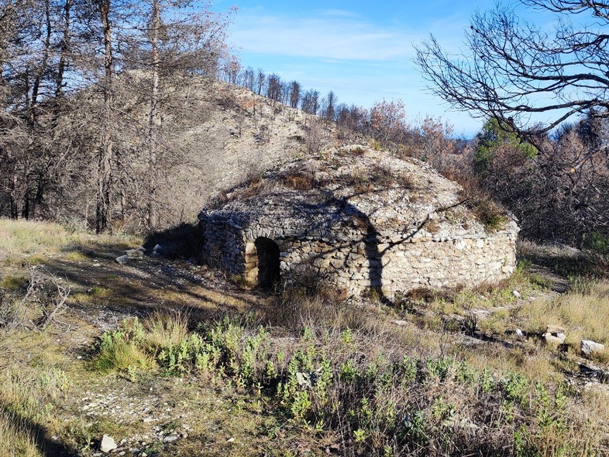
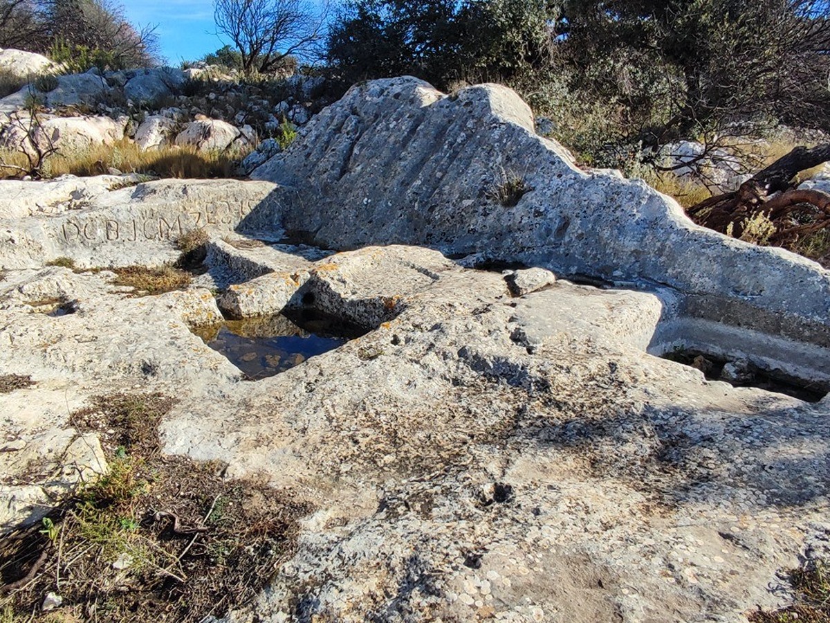
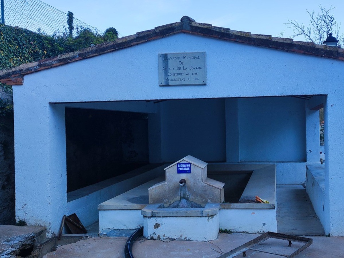
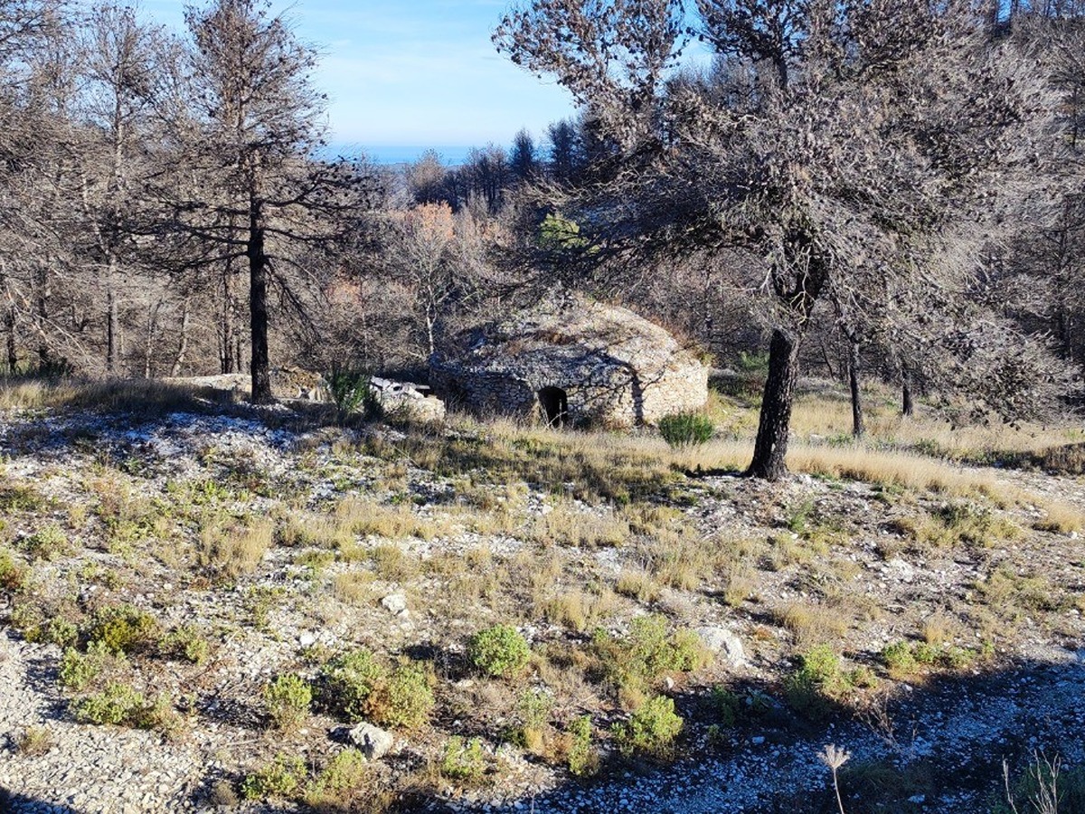
The route of the ice houses runs through the Alfaro mountain range and during its route you can visit several points of interest such as the ice house of Baix, the ice house of Dalt, the Bassetes or the Moorish depopulation of Saltes, in a route that combines trails and forest roads.

Trail:
Loop with some overlapping out and back sections
Technical data:
Length:
9,70 km
Estimated walking time:
02:35:00
Elevation gain:
310 m
Elevation loss:
310 m
MIDE ratings:
Level of natural risks:
2
Navigation on the trail:
2
Hiking difficulty:
3
Fitness level needed:
2

More information on Montaña Segura

Difficulty rating according to FEDME:
Unknown
Starting point:
Useful information:
Date of certification:
24-05-2024
Reference municipality:
District:
Province:
Alicante/Alacant
Cartography IGN MTN25:
0821-2

Downloadable from the Catalogue of the IGN Map Library

See other trails of this promoter:
Key points of the route:

Alcalà de la Jovada – Lavadero municipal ( (wash house) – Nevera de Baix (ice house)– Nevera de Dalt (ice house) – Depopulation of Saltes – Bassetes – Alcalà de la Jovada

Route description (only available in Spanish)

Iniciaremos la marcha en dirección este, cruzando el casco urbano hasta llegar al lavadero municipal. Desde este punto saldremos del casco urbano para seguir por el camino de la Nevera hasta llegar a la nevera de Baix.

De la nevera de Baix seguiremos por un sendero (camino de las Saleretes) unos 20 minutos hasta llegar a una pista forestal. Una vez en este punto seguiremos hacia la derecha hasta llegar al próximo cruce. Seguiremos a la derecha, siguiendo el camino de Saltes hacia el aeródromo y la nevera de Dalt. Una vez cruzamos el aeródromo, a la derecha, a unos pocos metros de la pista se encuentra la nevera de Dalt.

Seguiremos el camino de Saltes en dirección oeste hasta llegar al despoblado de Saltes. Aquí nos tendremos que desviar unos metros a la izquierda hasta llegar a las pocetas. Desde este punto volveremos al despoblado de Saltes.

Seguiremos la pista (camino de Saltes) en dirección norte hacia Alcalà de la Jovada y pasaremos por un panel informativo sobre el Tratado del Pouet. Seguiremos la pista hasta para coger un sendero para cruzar por encima del acueducto de Alcalà que nos dará acceso al casco urbano de nuevo.

Downloads:

Beware! Navigation devices may fail, batteries may run out of power and devices may break down. Do not use only electronic means to track your activities in the mountains; they must be used as a complement to the map and compass. Get some proper training and enjoy the mountains.