Rate this trail

SL-CV 53 LA HOZ - LOS PÉREZ

Promoter: Ayuntamiento de Bejís

Certification status: Conditioned quality control

0 reviews

Following the inspection carried out by trail technicians, this trail has been declared of "limited adequacy" as a result of the faults detected in the signage. These include inadequate horizontal signs (paint markers) and/or vertical ones (trailheads and information boards) or lacking direction markers that do not provide sufficient information to properly follow the route. The builder of this trail has been informed of the situation.
For safety reasons and during maintenance work, it is advised to be extremely careful while taking this route. Furthermore, mountain sports entail risks associated with the activity itself and the environment where they take place, for which any person is fully liable. For this reason, hikes need to be planned properly and adequate training, equipment and sensible use of the trails are required.

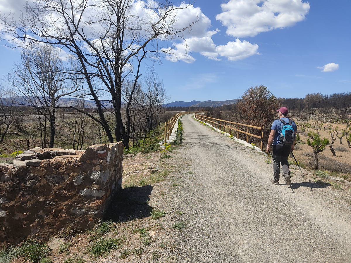
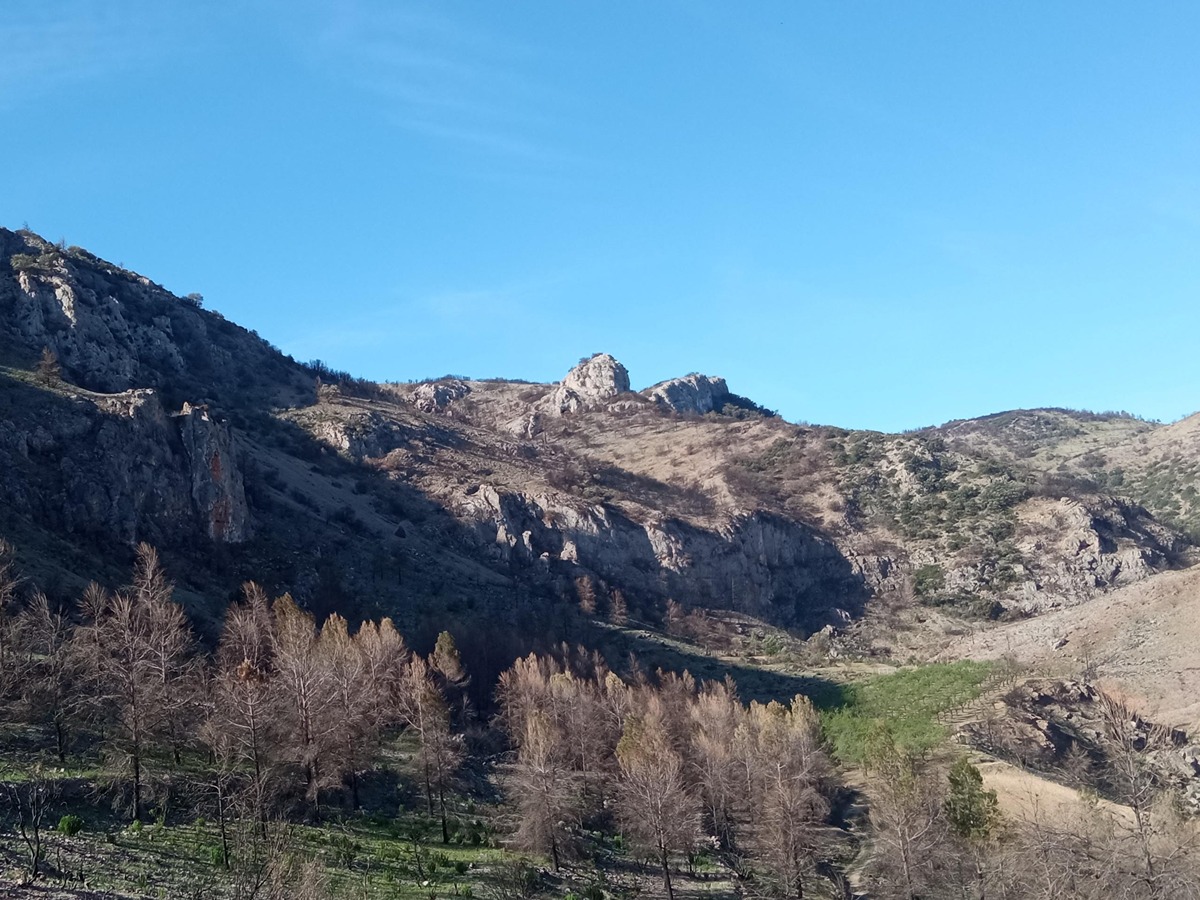
Travelling along old paths you can enjoy the views of Bejís and the Espadán mountain range as well as the peaks of Santa Bárbara and Peñagolosa. The towns of Torás, Caudiel and Las Ventas also have magnificent views from here. You can cross the Masía de Los Pérez country estate to the spring and from there to the Collao country estate, formerly owned by the monks of Porta-Coeli and through which the path of the Camino Romano de Liria (Roman Road to Liria) runs.

Trail:
One way (point-to-point)
Technical data:
Length:
3,60 km
Estimated walking time:
01:00:00
Elevation gain:
185 m
Elevation loss:
55 m
MIDE ratings:
Level of natural risks:
1
Navigation on the trail:
2
Hiking difficulty:
2
Fitness level needed:
1

More information on Montaña Segura

Difficulty rating according to FEDME:
Unknown
Useful information:
Date of certification:
26-05-2023
Date of the last Quality Control:
april de 2023
Reference municipality:
District:
Province:
Castellón/Castelló
Cartography IGN MTN25:
0639-3

Downloadable from the Catalogue of the IGN Map Library

See other trails of this promoter:
Protected Natural Spaces:

We advise you to look up the regulations and/or authorisations for using the trails in these conservation areas on the website of the Conselleria de Medio Ambiente, Agua, Infraestructuras y Territorio

  • Alto Palancia (SAC - Special Area of Conservation)
  • Alto Palancia (SIC - Site of Community Interest)
Key points of the route:

Arteas road - Collado cerro “El Cerrín” (col) - Mirador Sierra de Espadán (viewpoint) - Masía de los Pérez (estate) - CV-235. Masía del Collao (estate)

Route description (only available in Spanish)

El sendero comienza en la carretera de Arteas justo antes del puente del barranco La Hoz. Tras un primer tramo por una abandonada pista forestal tomamos una evidente senda a la derecha en dirección al murallón de roca del cerro el Serrín. En este volvemos a encontrar otra pista forestal, justo en una caseta de piedra derruida. Esta pista no la abandonaremos hasta la masía de los Pérez, pero antes debemos tomar un descanso en el mirador que nos da una excelente vista del cordal de Espadan: Alto de Pina, Rápita, Espadán y Batalla, atravesamos la masía pasando por su fuente y saliendo de la aldea por el lavadero donde comienza la pista asfaltada que nos lleva a la masía del Collao donde ya encontramos la CV-235.

Downloads:

Beware! Navigation devices may fail, batteries may run out of power and devices may break down. Do not use only electronic means to track your activities in the mountains; they must be used as a complement to the map and compass. Get some proper training and enjoy the mountains.

Other trails connecting with this trail