ES / EN / VA

Rate this trail

SL-CV 6 SENDA DE LA MOTA - CASTILLO - FUENTE LUCENA

Promoter: ADENE / Ayuntamiento de Enguera

Certification status: Conditioned quality control

0 reviews

Following the inspection carried out by trail technicians, this trail has been declared of "limited adequacy" as a result of the faults detected in the signage. These include inadequate horizontal signs (paint markers) and/or vertical ones (trailheads and information boards) or lacking direction markers that do not provide sufficient information to properly follow the route. The builder of this trail has been informed of the situation.
For safety reasons and during maintenance work, it is advised to be extremely careful while taking this route. Furthermore, mountain sports entail risks associated with the activity itself and the environment where they take place, for which any person is fully liable. For this reason, hikes need to be planned properly and adequate training, equipment and sensible use of the trails are required.

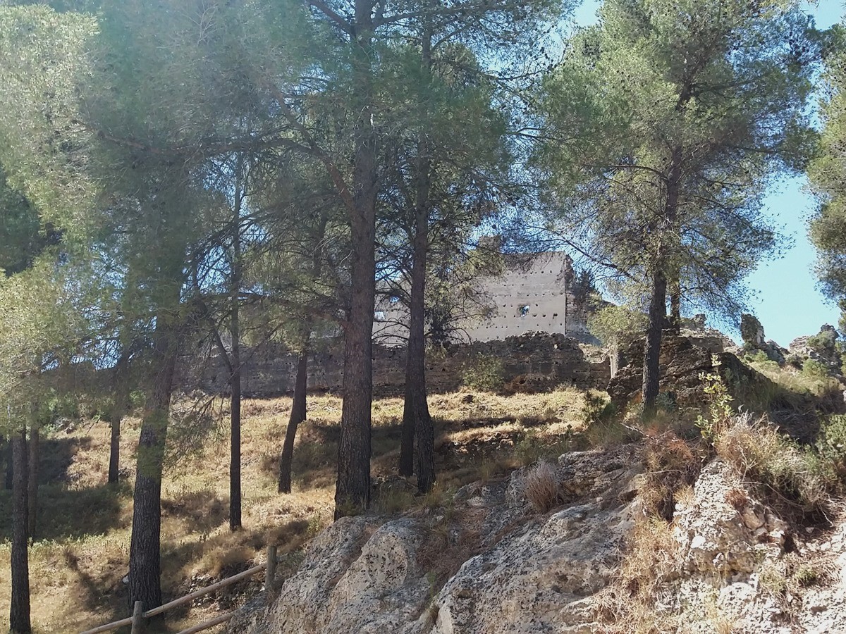
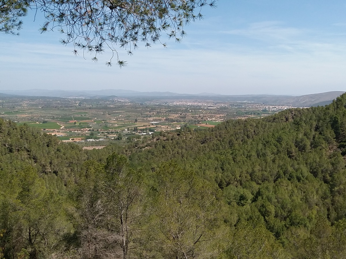
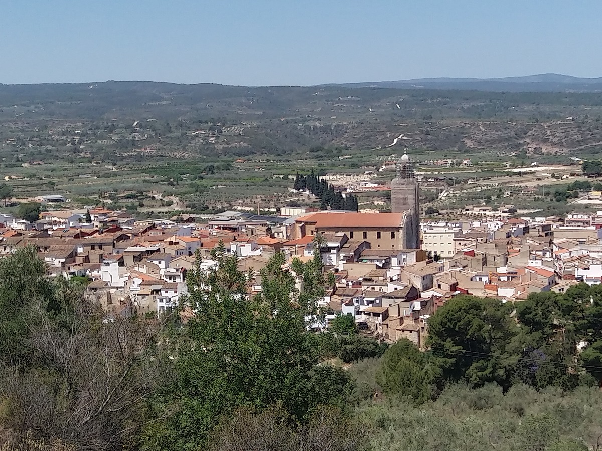
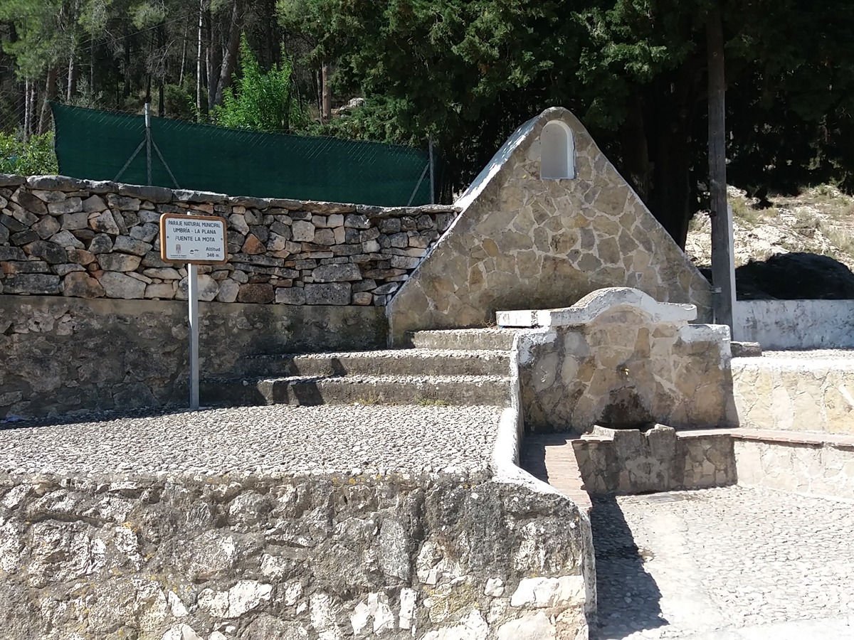
This trail runs along tracks and paths, with ascents and descents over a few kilometres, crossing ravines, firebreaks. It also leads to a recreational area and spring, as well as its most prized point of interest, the castle of Enguera.

Trail:
Loop with some overlapping out and back sections
Technical data:
Length:
5,80 km
Estimated walking time:
02:10:00
Elevation gain:
330 m
Elevation loss:
330 m
MIDE ratings:
Level of natural risks:
2
Navigation on the trail:
2
Hiking difficulty:
3
Fitness level needed:
2

More information on Montaña Segura

Difficulty rating according to FEDME:
Unknown
Useful information:
Date of certification:
19-10-2003
Date of the act of registration in the Public Register:
22-05-2007
Date of the last Quality Control:
may de 2024
Reference municipality:
Province:
Valencia/València
Cartography IGN MTN25:
0794-2

Downloadable from the Catalogue of the IGN Map Library

See other trails of this promoter:
Protected Natural Spaces:

We advise you to look up the regulations and/or authorisations for using the trails in these conservation areas on the website of the Conselleria de Medio Ambiente, Agua, Infraestructuras y Territorio

  • Umbría La Plana (Municipal Natural Site)
Key points of the route:

Fuente de La Mota recreation area - Umbría de la Plana (shady side) - Firebreak - Barranco de Lucena (ravine) - Fuente de Lucena (spring) - Castillo de Enguera (fort)

Route description (only available in Spanish)

Iniciamos el recorrido hacia el área recreativa y tomamos el camino que sube por la derecha. Pasamos por la residencia y la fuente de la Mota para, al poco, coger una senda a la derecha que remonta el barranco hasta la pista del corral de Campanillas. Descendemos un trecho para volver a coger una senda que continúa remontando la umbría de la Plana.

Llegamos a la parte alta para descender por un antiguo cortafuegos hasta llegar al barranco de Lucena y su fuente que queda un poco más abajo. Remontamos el barranco hasta enlazar con un camino que seguimos por la derecha. En un collado encontramos la subida al poblado ibérico de Cerro Lucena. Seguimos la pista hasta un nuevo cruce a los pies del castillo de Enguera. Continuamos por la derecha, bordeamos el castillo e iniciamos el descenso hasta la entrada del paraje natural municipal de la Umbría-la Plana y repetir el tramo de carretera inicial.

Downloads:

Beware! Navigation devices may fail, batteries may run out of power and devices may break down. Do not use only electronic means to track your activities in the mountains; they must be used as a complement to the map and compass. Get some proper training and enjoy the mountains.

Other trails connecting with this trail