SL-CV 71 SENDERO FUENTE LEBRILLICO - LA MUELA
Promoter: Ayuntamiento de Chulilla
Certification status: No quality controls
There is no proof of quality control on the record of this trail in the last years. For this reason, it is unknown whether it complies with the optimal signage and maintenance conditions for hikers to take the trail following these signs exclusively.
Hikers have to take into consideration that the information about the signage and maintenance of the trails for which the promoter entity is responsible might not be up to date anymore, since it refers to its state on the date of its approval. Furthermore, mountain sports entail risks associated with the activity itself and the environment where they take place, for which any person is fully liable. For this reason, hikes need to be planned properly and adequate training, equipment and sensible use of the trails are required.
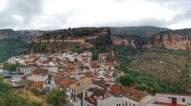
This route runs through the north-eastern part of Chulilla along paths and tracks, with a steep climb for the first kilometre, which becomes easier in the a descent to the end of the trail. You can reach Fuente Lebrillico walking along the old irrigation channel that used to be the town’s main water supply and then get to the crest of La Muela and its great views, particularly, from the Mirador de La Cruz viewpoint.
Other trails connecting with this trail
SL-CV 72 SENDERO CUEVAS - PEÑETA
Promoter: Ayuntamiento de Chulilla
Certification status: No quality controls
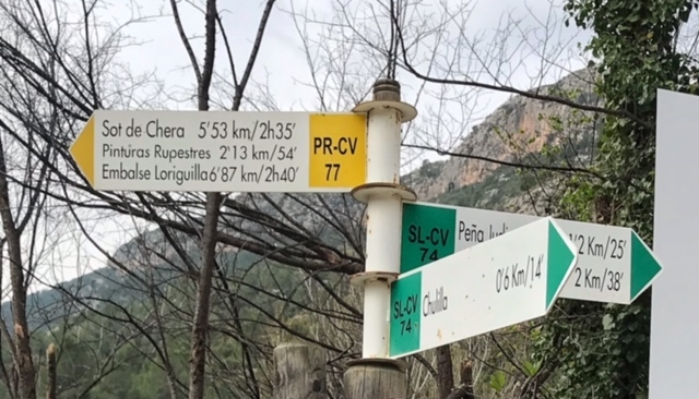
SL-CV 74 EL CHARCO AZUL
Promoter: Ayuntamiento de Chulilla
Certification status: Conditioned quality control