
SL-CV 76 SENDER DE LA CALERA
Promoter: Ayuntamiento de Cañada
Certification status: No quality controls
There is no proof of quality control on the record of this trail in the last years. For this reason, it is unknown whether it complies with the optimal signage and maintenance conditions for hikers to take the trail following these signs exclusively.
Hikers have to take into consideration that the information about the signage and maintenance of the trails for which the promoter entity is responsible might not be up to date anymore, since it refers to its state on the date of its approval. Furthermore, mountain sports entail risks associated with the activity itself and the environment where they take place, for which any person is fully liable. For this reason, hikes need to be planned properly and adequate training, equipment and sensible use of the trails are required.
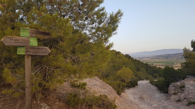
Starting from the Ermita de la Mare de Déu del Carme chapel (Information panel), walk along the entire Sierra de la Villa mountain range and head SW, going through the Pic de la Creueta peak, until you descend to the Camino de la Calera, where you turn east (Connection with PR-CV 312). Right after crossing the Portixol path, you leave the Camino de la Calera to your left to take another path that ascends in a N-NE direction. Leave the path on your left near Muntanya de la Mina, where you can ascend, passing through the mouth of an old silver mine to cross its hill and descend to the chapel of Mare de Déu del Carme.
Other trails connecting with this trail
