Rate this trail

SL-CV 79 COVA DEL PARPALLÓ

Promoter: Ayuntamiento de Gandia

Certification status: Conditioned quality control

0 reviews

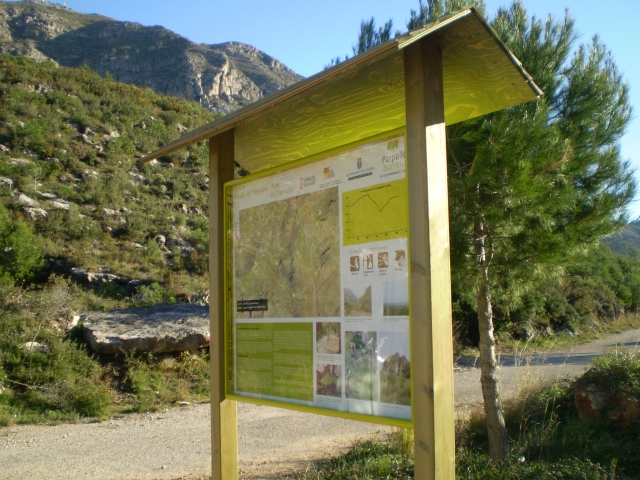
Following the inspection carried out by trail technicians, this trail has been declared of "limited adequacy" as a result of the faults detected in the signage. These include inadequate horizontal signs (paint markers) and/or vertical ones (trailheads and information boards) or lacking direction markers that do not provide sufficient information to properly follow the route. The builder of this trail has been informed of the situation.
For safety reasons and during maintenance work, it is advised to be extremely careful while taking this route. Furthermore, mountain sports entail risks associated with the activity itself and the environment where they take place, for which any person is fully liable. For this reason, hikes need to be planned properly and adequate training, equipment and sensible use of the trails are required.

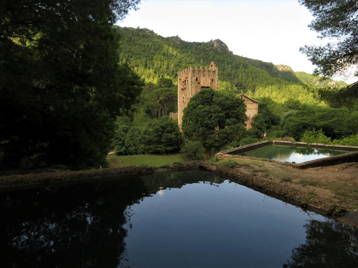
This pleasant trail follows existing tracks and paths on the southern slope of Mondúver where you can discover the natural surroundings of one of the most important Upper Palaeolithic prehistoric sites in Europe: the Parpalló cave. This trail also allows you to enjoy the view of the sea and the coastal town of Gandia in the distance.

Trail:
Loop
Technical data:
Length:
5,60 km
Estimated walking time:
01:50:00
Elevation gain:
225 m
Elevation loss:
225 m
MIDE ratings:
Level of natural risks:
1
Navigation on the trail:
2
Hiking difficulty:
2
Fitness level needed:
2

More information on Montaña Segura

Difficulty rating according to FEDME:
Unknown
Interest Tags:

Useful information:
Date of certification:
15-01-2008
Date of the act of registration in the Public Register:
02-06-2009
Date of the last Quality Control:
june de 2022
Reference municipality:
District:
Province:
Valencia/València
Cartography IGN MTN25:
0770-4; 0795-2

Downloadable from the Catalogue of the IGN Map Library

See other trails of this promoter:
Protected Natural Spaces:

We advise you to look up the regulations and/or authorisations for using the trails in these conservation areas on the website of the Conselleria de Medio Ambiente, Agua, Infraestructuras y Territorio

  • Montdúver - Marjal de la Safor (SPAB - Special Protection Area for Birds)
  • Parpalló - Borell (Municipal Natural Site)
  • Serra del Motduver i Marxuquera (SIC - Site of Community Interest)
  • Serres del Montdúver i Marxuquera (SAC - Special Area of Conservation)
Key points of the route:

Interpretation centre - Cova del Parpalló (cave) - Mirador de la Caldereta (viewpoint) - Font de la Garrofera (spring) - GR 236 connection - Collado de Mollons (col) - Interpretation centre

Route description (only available in Spanish)

Desde el centro de interpretación de la Cova Parpalló (Collado de Mollons), caminamos por la pista hacia el mar (dirección este) hasta llegar al segundo cruce de pistas. En este punto podemos decidir el sentido de la marcha, aunque el sendero se ha diseñado para seguirlo en el sentido de las agujas del reloj, por ello continuamos por la pista, ascendiendo ligeramente. Tras recorrer otros 400 metros llegamos a la derivación de la Font del Parpalló (senda de ida y vuelta).Continuamos el camino principal, y 300 metros más adelante, a mano izquierda (norte), dejaremos una senda que permite subir a la cima del Mondúver. Nosotros desestimamos ese desvío y caminamos recto, y en apenas 140 metros llegaremos a la Cova del Parpalló.Seguimos avanzando recto por la pista (dirección este). A medio kilómetro pasaremos la Font de la Caldereta, y a 750 metros de ésta, llegaremos al Mirador de la Caldereta y a la derivación que permite la subida al Coll de Rafaela (senda de ida y vuelta). Continuamos por la pista (dirección sur), que justo en la derivación comienza a perder altura hasta llegar a la Font del Garrofer.Desde la Font del Garrofer, tomamos la senda de descenso que encontraremos a la derecha (dirección sur), y que nos permite bajar por el Barrano de la Garrofera. Esta senda de unos 600 metros de longitud, está acondicionada con algún escalón de hormigón para hacer más seguro el descenso en algunos tramos.El barranco desemboca en la Cañada Real de Castilla (coincidiendo en este punto con la variante del GR 236), y que nosotros seguiremos hacia la derecha (oeste), hasta cruzar con el Barranco de la Revolta, donde tomaremos la senda de la derecha que serpentea siguiendo el barranco.

La senda se convierte en un amplio camino pavimentado que seguiremos durante algo más de 1 kilómetro, hasta llegar al cruce de pistas por el que pasamos al iniciar el recorrido circular, tomando esta vez la pista hacia la izquierda hasta llegar al inicio

Downloads:

Beware! Navigation devices may fail, batteries may run out of power and devices may break down. Do not use only electronic means to track your activities in the mountains; they must be used as a complement to the map and compass. Get some proper training and enjoy the mountains.

Other trails connecting with this trail