

GR 231 DE PINARES A SABINARES
Promoter: Mancomunidad Alto Palancia
Certification status: See stages
0 reviews
Trail:
One way (point-to-point)
Stages
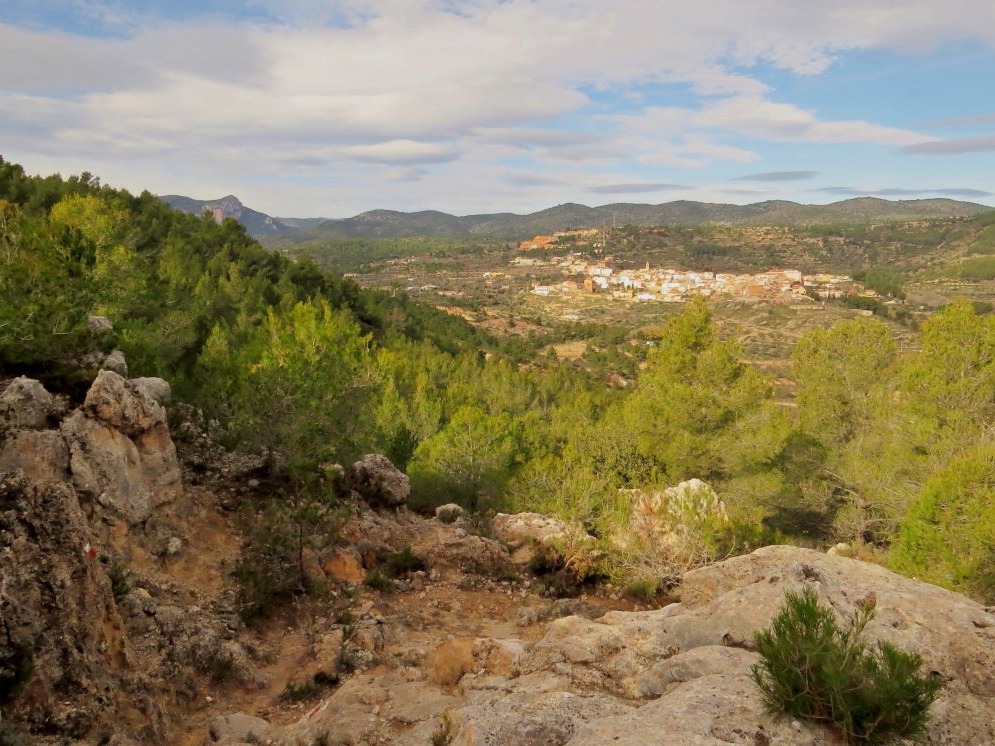
GR 231 E01 JÉRICA - BEJÍS
Promoter: Mancomunidad Alto Palancia
Certification status: No quality controls
Etapa número: 1
Reference municipality: Jérica
Length: 19,00 km
Estimated walking time: 05:50:00
Elevation gain: 635 m
Elevation loss: 345 m
(0)
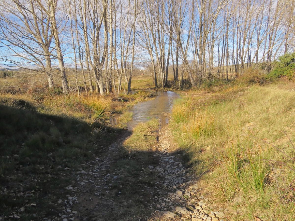
GR 231 E02 BEJÍS - LÍMITE PROVINCIAL TERUEL
Promoter: Mancomunidad Alto Palancia
Certification status: No quality controls
Etapa número: 2
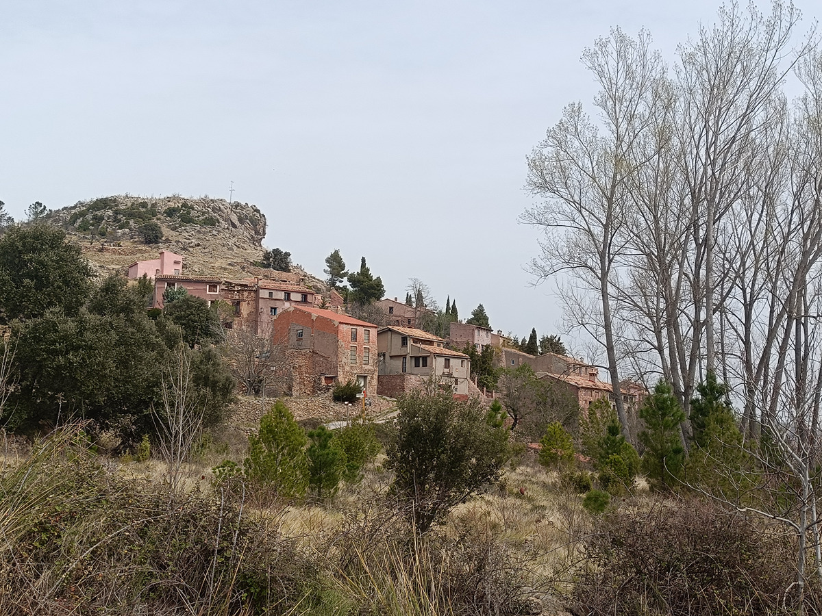
Reference municipality: Bejís
Length: 19,10 km
Estimated walking time: 05:35:00
Elevation gain: 490 m
Elevation loss: 190 m
(0)
Other trails connecting with this trail
GR 7 E34 MAS DE NOGUERA - BEJÍS
Promoter: Generalitat Valenciana
Certification status: Positive quality control
Etapa número: 34
Reference municipality: Caudiel
Length: 20,60 km
Estimated walking time: 06:05:00
Elevation gain: 415 m
Elevation loss: 510 m
(0)
GR 7 E35 BEJÍS - ANDILLA
Promoter: Generalitat Valenciana
Certification status: Positive quality control
Etapa número: 35
Reference municipality: Bejís
Length: 21,90 km
Estimated walking time: 06:55:00
Elevation gain: 740 m
Elevation loss: 665 m
(0)
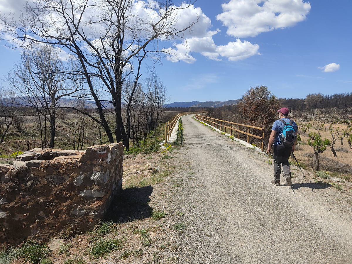
PR-CV 275 FUENTES DEL PALANCIA
Promoter: Ayuntamiento de Bejís
Certification status: Conditioned quality control
Reference municipality: Bejís
Length: 6,20 km
Estimated walking time: 02:00:00
Elevation gain: 305 m
Elevation loss: 135 m
(0)