
GR 7 E35 BEJÍS - ANDILLA
Promoter: Generalitat Valenciana
Certification status: Positive quality control
0 reviews
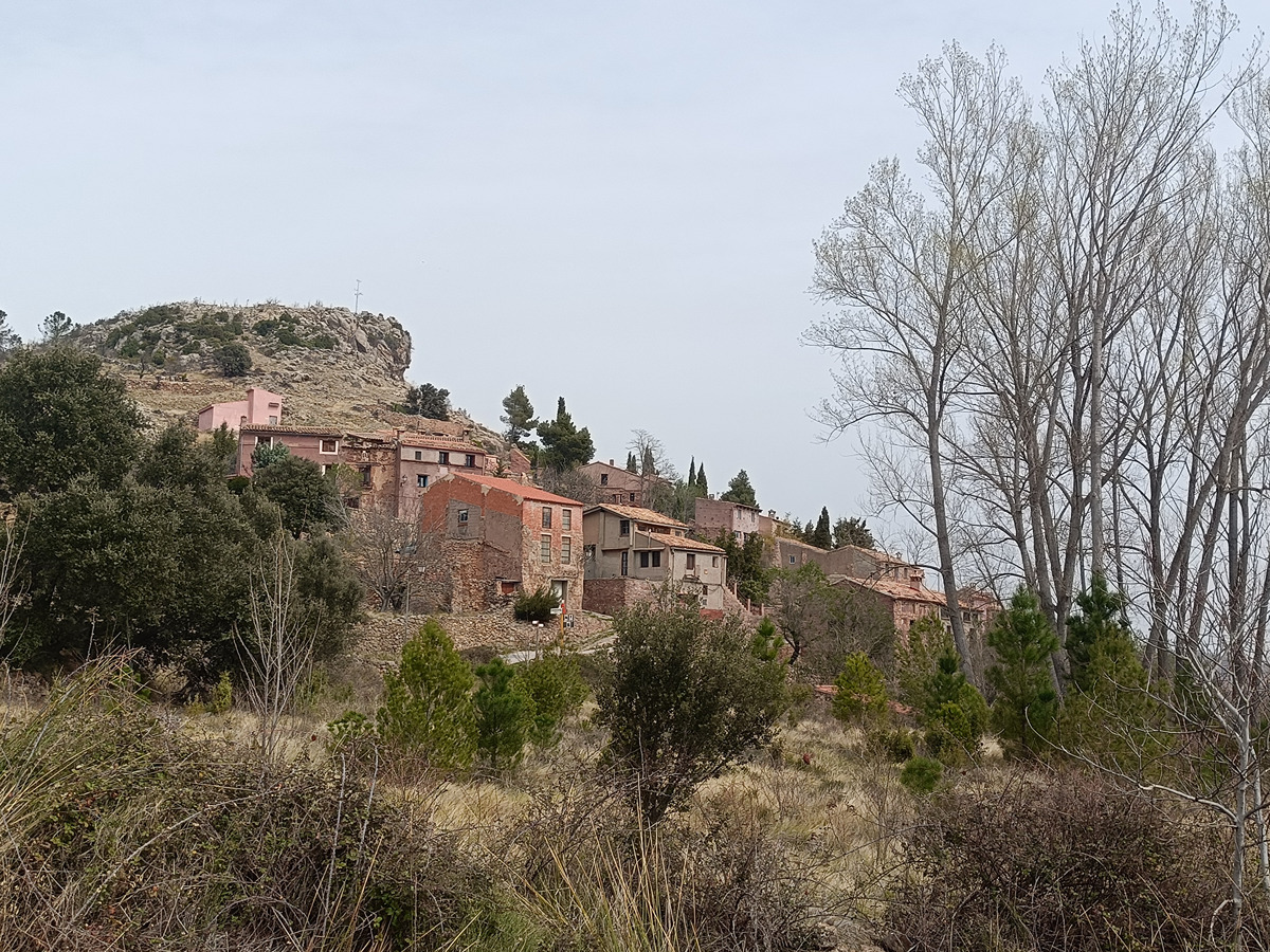
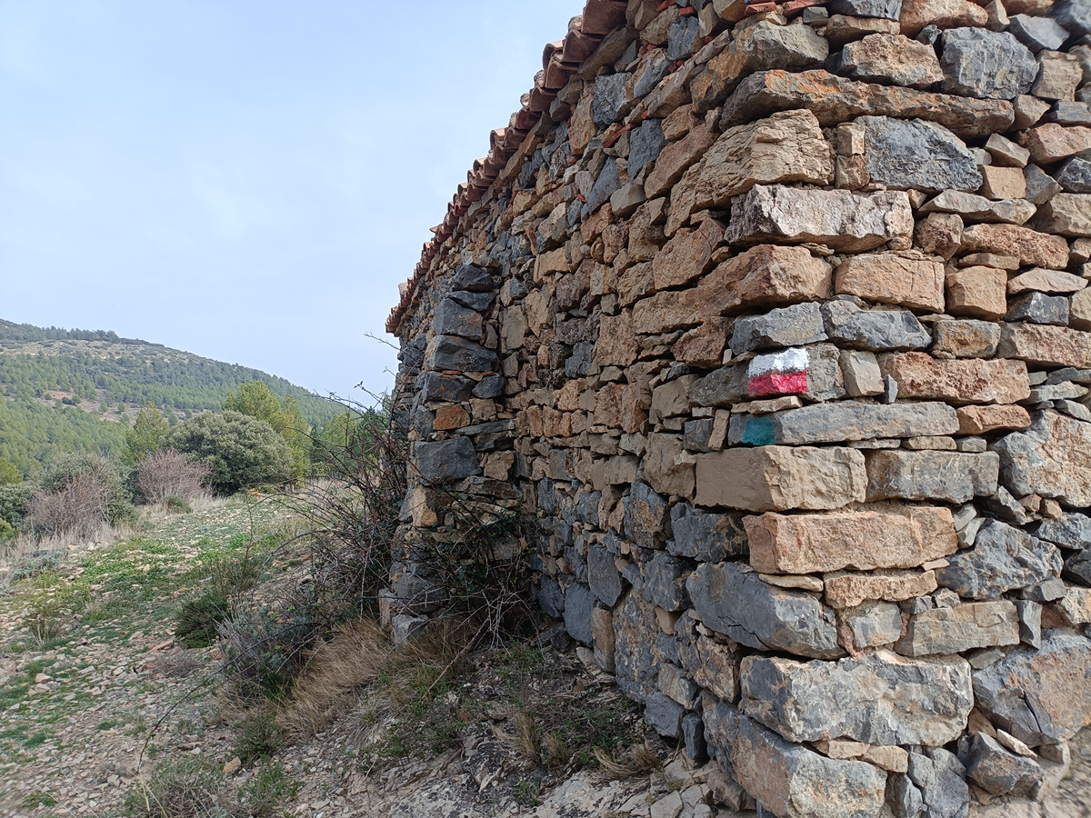
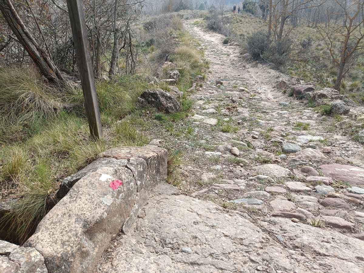
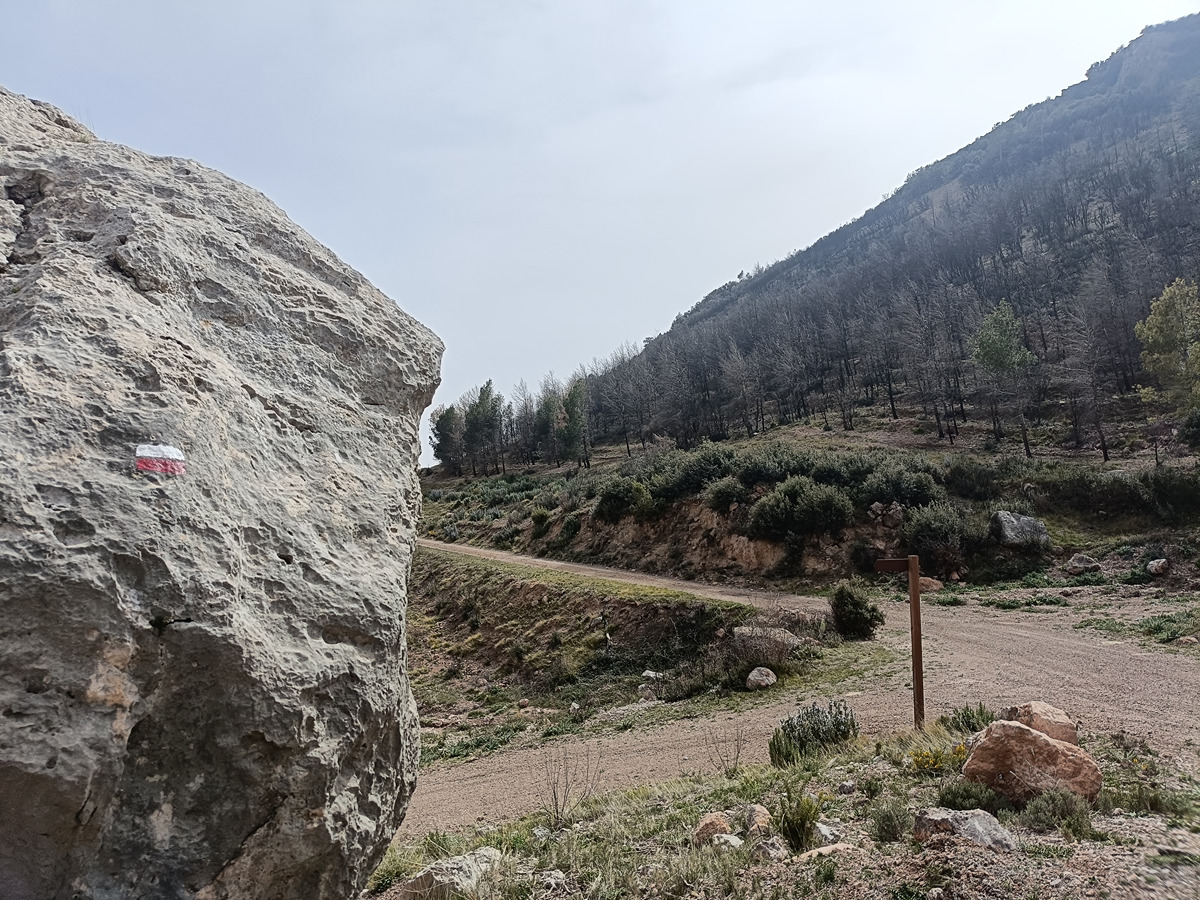
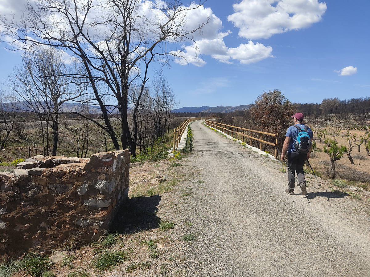
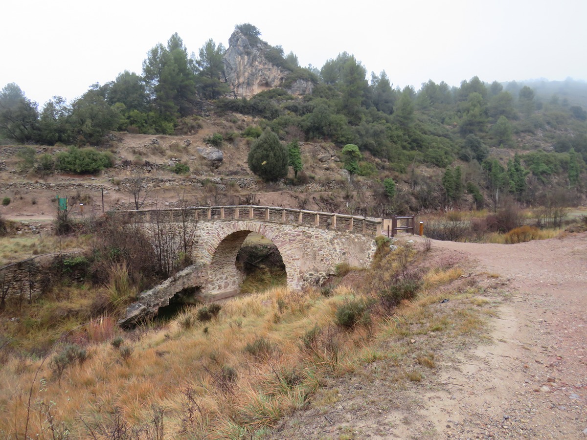
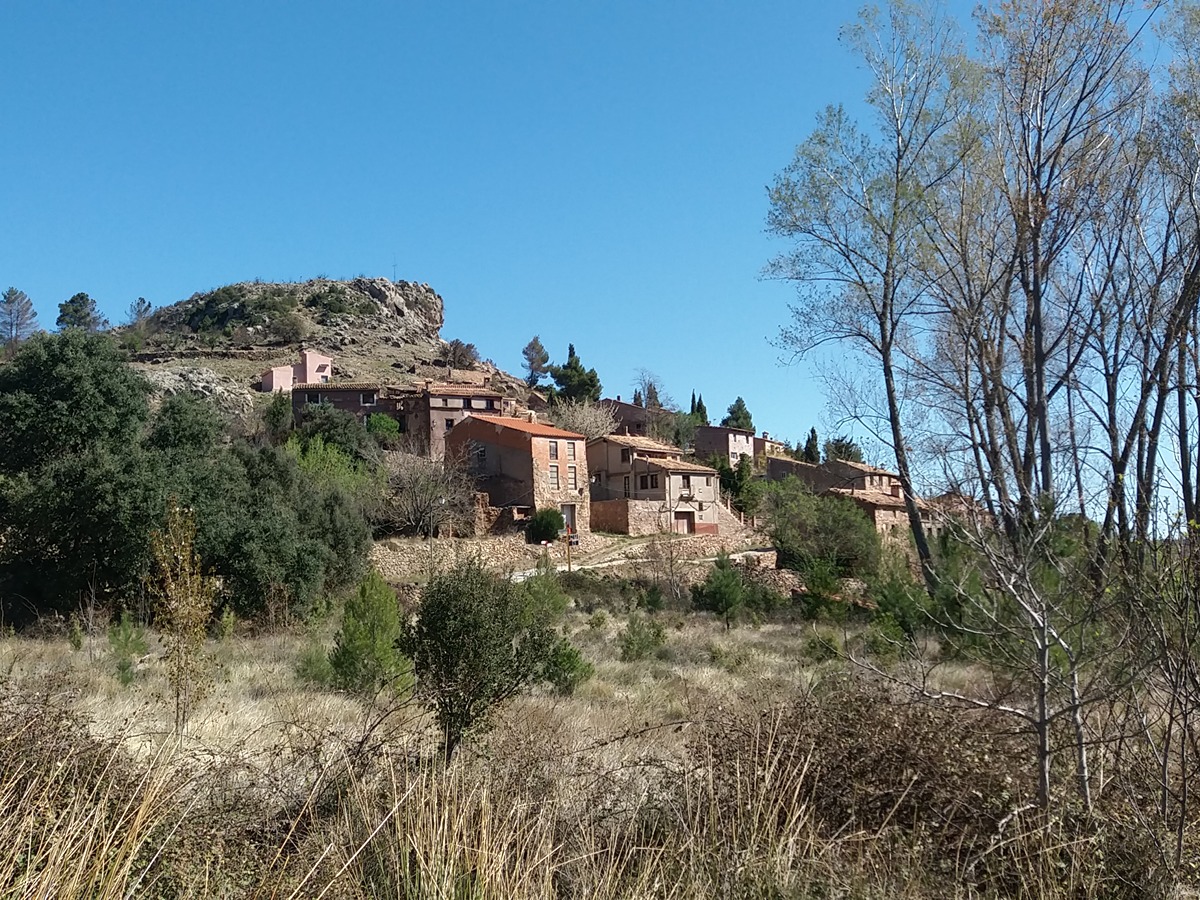
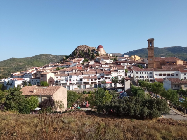
In this stage you enter the valley of the Canales river, that will take you to the villages of Arteas de Abajo and Arteas de Arriba, where you can make your way to the of of La Salada, where you cross the GR 10 trail. From here, you can go to the chapel of Bardés to descend to the village of Andilla.
Trail:
One way (point-to-point)
Main

GR 7 COMUNITAT VALENCIANA. FREDES - EL PINÓS/PINOSO
Promoter: Generalitat Valenciana
Certification status: See stages
Reference municipality: Pobla de Benifassà (La)
Length: 586,60 km
Estimated walking time: 180:35:00
Elevation gain: 17.635 m
Elevation loss: 18.585 m
(0)
Previos stage
GR 7 E34 MAS DE NOGUERA - BEJÍS
Promoter: Generalitat Valenciana
Certification status: Positive quality control
Etapa número: 34
Reference municipality: Caudiel
Length: 20,60 km
Estimated walking time: 06:05:00
Elevation gain: 415 m
Elevation loss: 510 m
(0)
Next stage
GR 7 E36 ANDILLA - CHELVA
Promoter: Generalitat Valenciana
Certification status: temporary cancellation
Etapa número: 36
Reference municipality: Andilla
Length: 25,90 km
Estimated walking time: 08:10:00
Elevation gain: 625 m
Elevation loss: 1.115 m
(0)
Other trails connecting with this trail
GR 10 E06 SACAÑET - ANDILLA
Promoter: Generalitat Valenciana
Certification status: Positive quality control
Etapa número: 6
Reference municipality: Sacañet
Length: 15,00 km
Estimated walking time: 04:55:00
Elevation gain: 490 m
Elevation loss: 615 m
(0)
SL-CV 52 LOS MOLINOS
Promoter: Ayuntamiento de Bejís
Certification status: Conditioned quality control
Reference municipality: Bejís
Length: 4,60 km
Estimated walking time: 01:30:00
Elevation gain: 115 m
Elevation loss: 115 m
(0)
SL-CV 54 LOS MIRADORES
Promoter: Ayuntamiento de Bejís
Certification status: Conditioned quality control
Reference municipality: Bejís
Length: 9,20 km
Estimated walking time: 02:55:00
Elevation gain: 300 m
Elevation loss: 300 m
(0)
SL-CV 55 FUENTES DE ARTEAS
Promoter: Ayuntamiento de Bejís
Certification status: Conditioned quality control
Reference municipality: Bejís
Length: 5,50 km
Estimated walking time: 01:45:00
Elevation gain: 190 m
Elevation loss: 190 m
(0)

PR-CV 176 ANDILLA - OSET - ALCUBLAS
Promoter: Ayuntamiento de Andilla
Certification status: No quality controls
Reference municipality: Andilla
Length: 16,10 km
Estimated walking time: 03:00:00
Elevation gain: 660 m
Elevation loss: 780 m
(0)
Reference municipality: Jérica
Length: 38,10 km
Estimated walking time: 11:25:00
Elevation gain: 1.125 m
Elevation loss: 535 m
(0)
PR-CV 273 RESINERO - PEÑAS DEL DIABLO
Promoter: Ayuntamiento de Bejís
Certification status: Positive quality control
Reference municipality: Bejís
Length: 20,40 km
Estimated walking time: 05:35:00
Elevation gain: 790 m
Elevation loss: 630 m
(2)
PR-CV 424 BARONÍA DE ANDILLA
Promoter: Ayuntamiento de Andilla
Certification status: No quality controls
Reference municipality: Andilla
Length: 23,10 km
Estimated walking time: 07:40:00
Elevation gain: 900 m
Elevation loss: 900 m
(0)