
PR-CV 176 ANDILLA - OSET - ALCUBLAS
Promoter: Ayuntamiento de Andilla
Certification status: No quality controls
There is no proof of quality control on the record of this trail in the last years. For this reason, it is unknown whether it complies with the optimal signage and maintenance conditions for hikers to take the trail following these signs exclusively.
Hikers have to take into consideration that the information about the signage and maintenance of the trails for which the promoter entity is responsible might not be up to date anymore, since it refers to its state on the date of its approval. Furthermore, mountain sports entail risks associated with the activity itself and the environment where they take place, for which any person is fully liable. For this reason, hikes need to be planned properly and adequate training, equipment and sensible use of the trails are required.
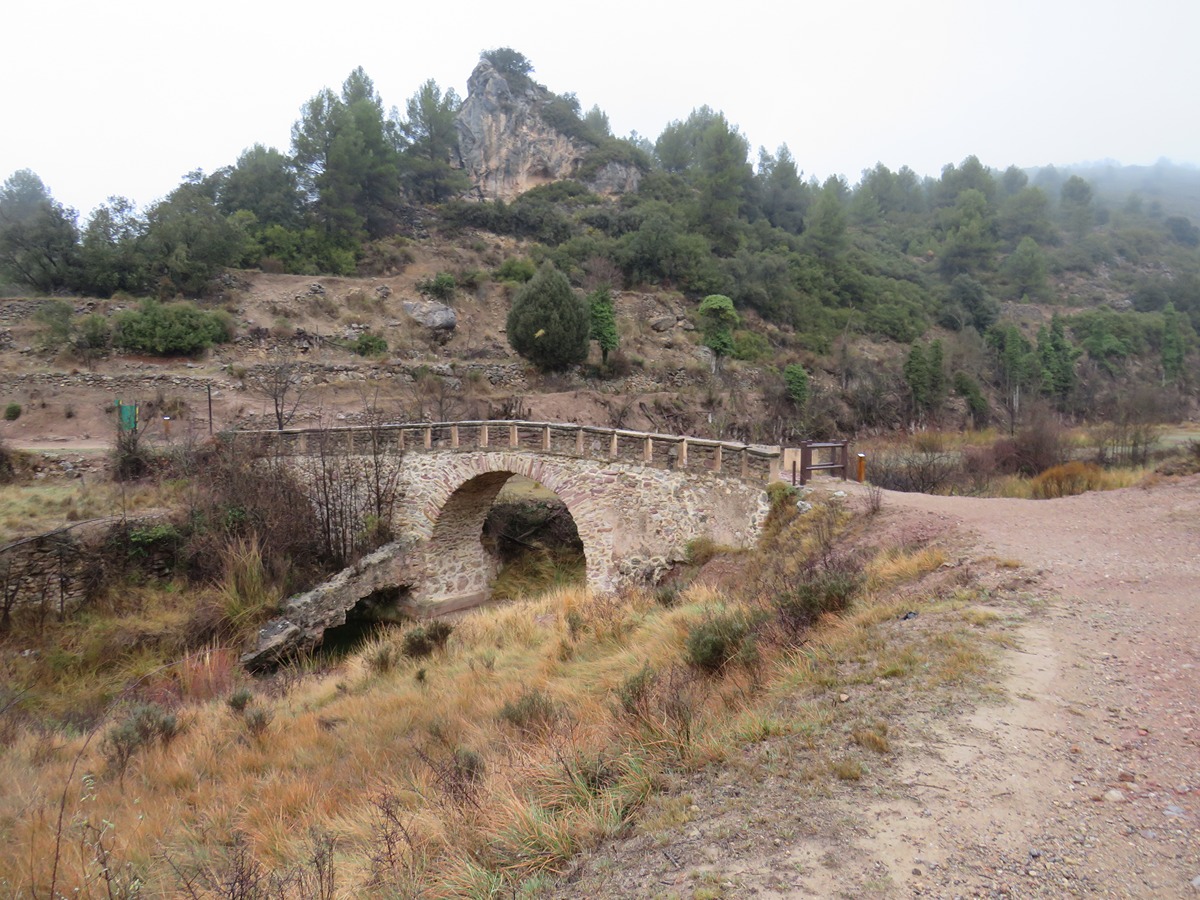
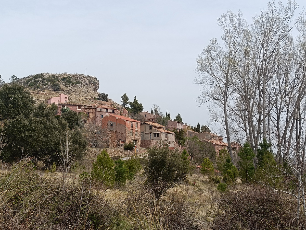
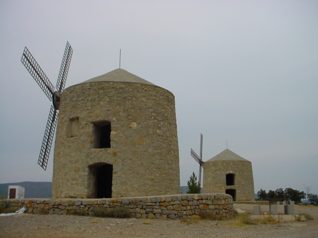
This route connects the towns of Andilla and the village of Osset and Alcublas. It combines panoramic views over the Turia river valley with forest areas, old corrals and several ravines.
Other trails connecting with this trail
GR 7 E36 ANDILLA - CHELVA
Promoter: Generalitat Valenciana
Certification status: temporary cancellation
Etapa número: 36
GR 7 E35 BEJÍS - ANDILLA
Promoter: Generalitat Valenciana
Certification status: Positive quality control
Etapa número: 35
GR 10 E06 SACAÑET - ANDILLA
Promoter: Generalitat Valenciana
Certification status: Positive quality control
Etapa número: 6
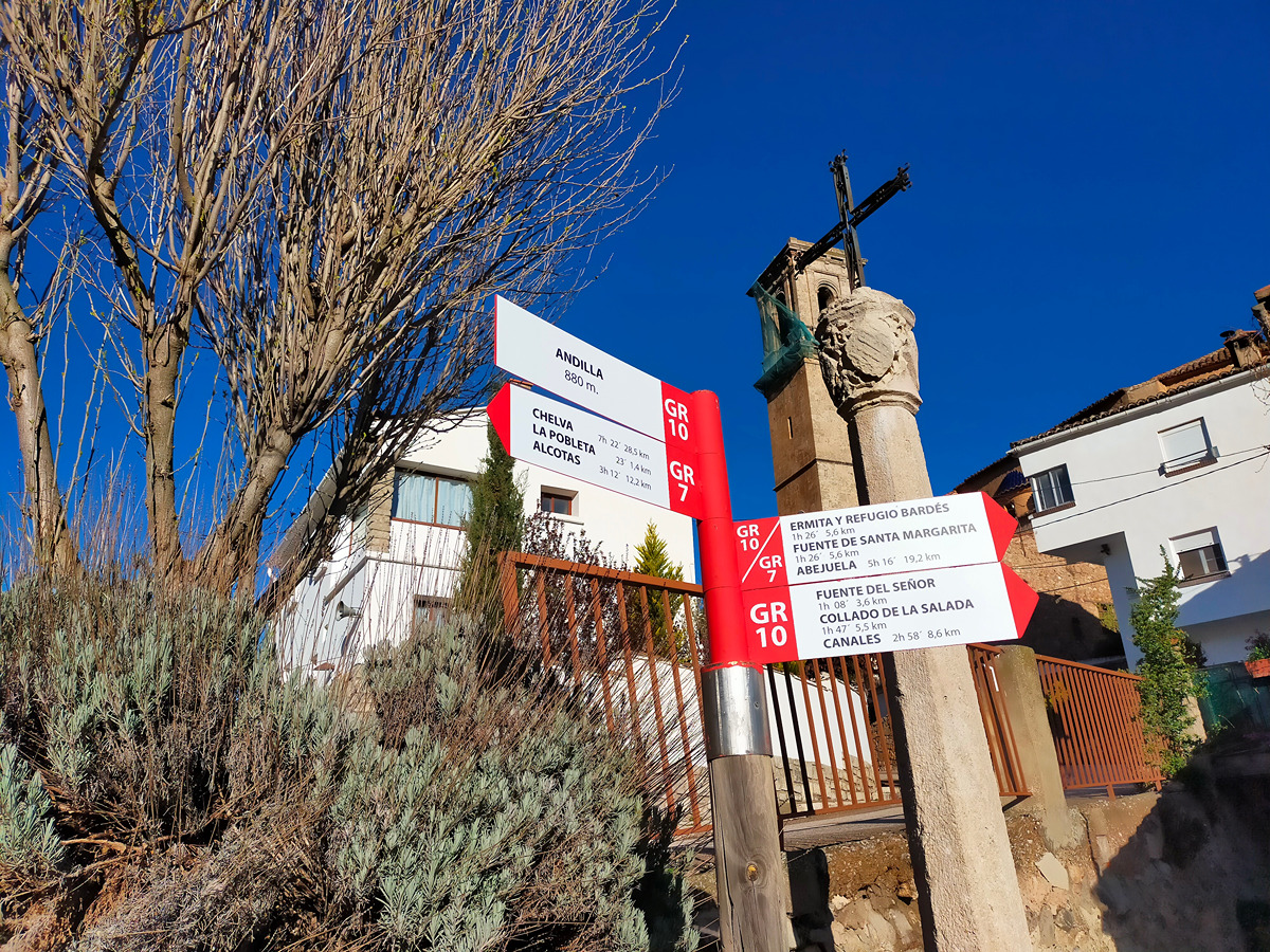
GR 10 E07 ANDILLA - COLLADO BARDÉS
Promoter: Generalitat Valenciana
Certification status: Positive quality control
Etapa número: 7
PR-CV 105 CERRO DE LOS MOLINOS - ALCUBLAS - CUEVA SABUQUERA
Promoter: Ayuntamiento de Alcublas
Certification status: Conditioned quality control
PR-CV 424 BARONÍA DE ANDILLA
Promoter: Ayuntamiento de Andilla
Certification status: No quality controls
