
GR 10 E06 SACAÑET - ANDILLA
Promoter: Generalitat Valenciana
Certification status: Positive quality control
0 reviews
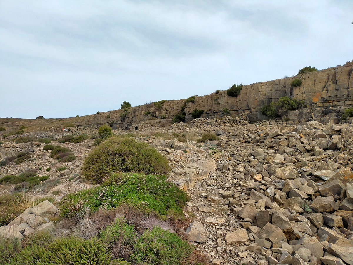
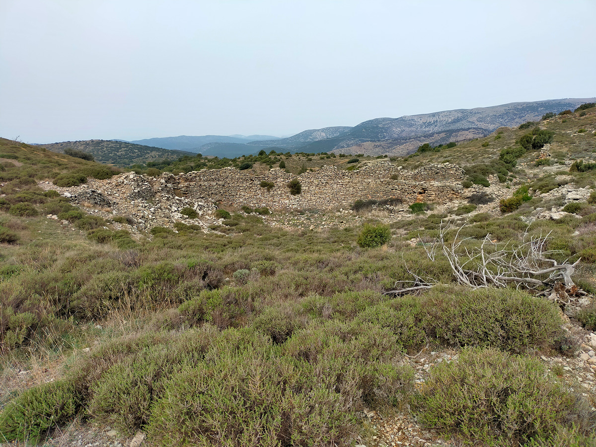
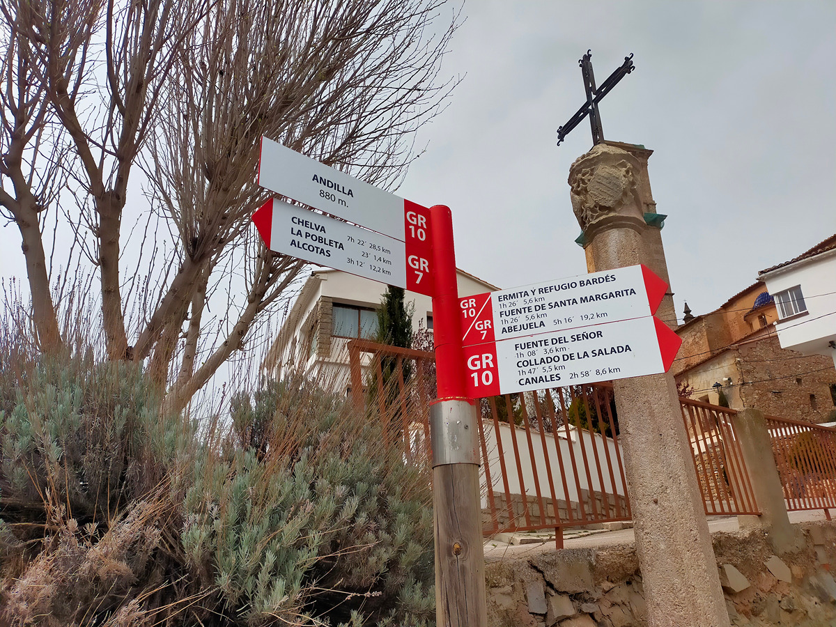
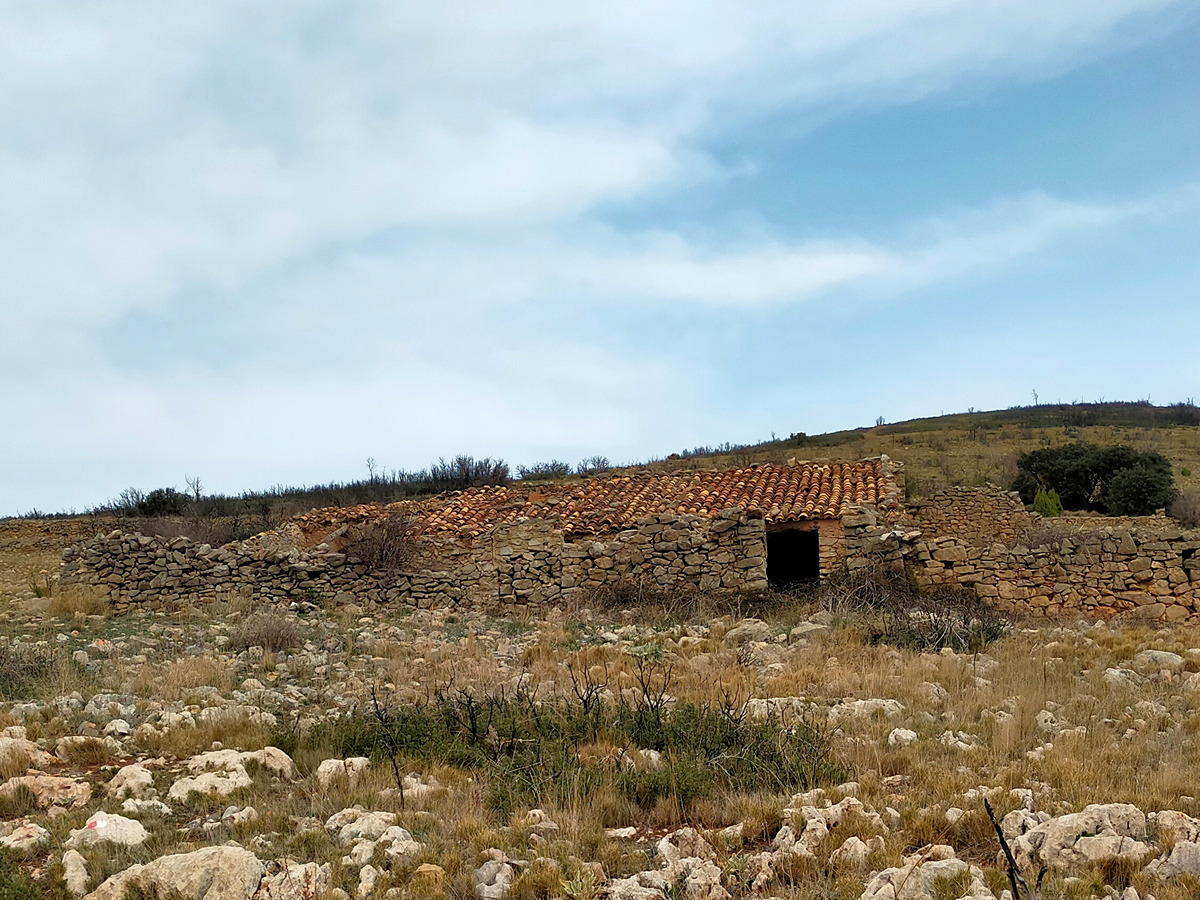
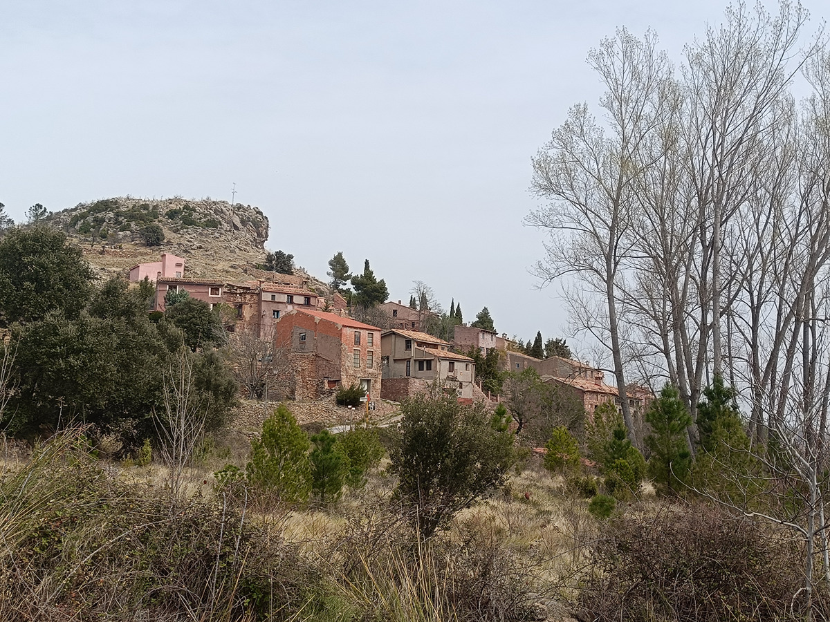
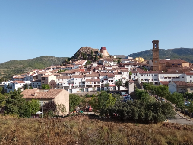
From the town of Sacañet go up the Bellida ravine passing by its snowdrifts. Descend to Canales to ascend to the Salada col, where you can access the GR 7 trail. From this point, descend along the Andilla river passing the fuente del Señor spring until you reach the town of Andilla.
Trail:
One way (point-to-point)
Main
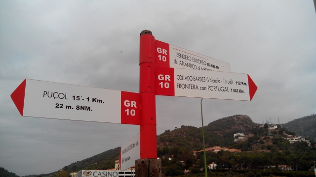
Reference municipality: Puçol
Length: 98,70 km
Estimated walking time: 32:50:00
Elevation gain: 4.495 m
Elevation loss: 3.110 m
(0)
Previos stage
GR 10 E05 CUEVA SANTA - SACAÑET
Promoter: Generalitat Valenciana
Certification status: Positive quality control
Etapa número: 5
Reference municipality: Altura
Length: 13,90 km
Estimated walking time: 04:20:00
Elevation gain: 485 m
Elevation loss: 310 m
(0)
Next stage
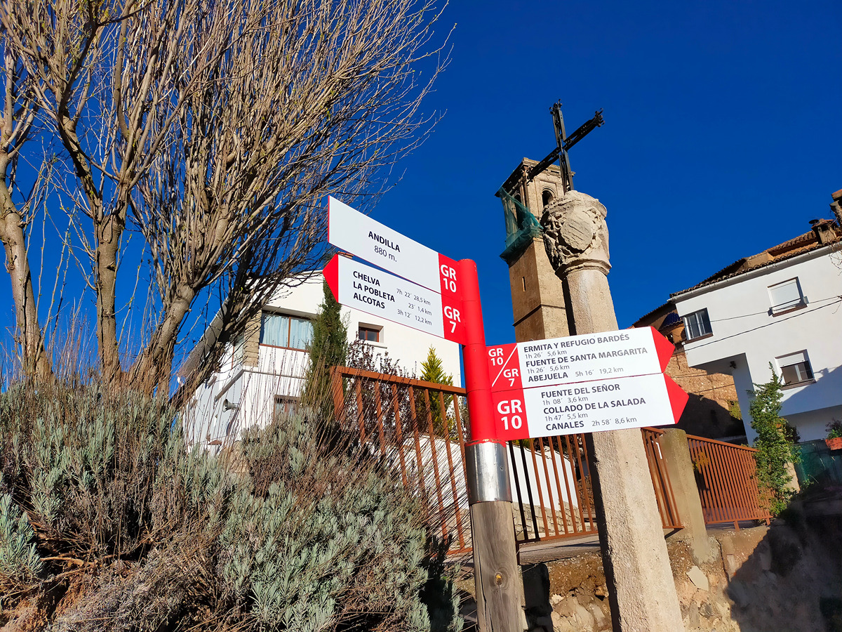
GR 10 E07 ANDILLA - COLLADO BARDÉS
Promoter: Generalitat Valenciana
Certification status: Positive quality control
Etapa número: 7
Reference municipality: Andilla
Length: 6,70 km
Estimated walking time: 02:20:00
Elevation gain: 565 m
Elevation loss: 45 m
(0)
Other trails connecting with this trail
GR 7 E35 BEJÍS - ANDILLA
Promoter: Generalitat Valenciana
Certification status: Positive quality control
Etapa número: 35
Reference municipality: Bejís
Length: 21,90 km
Estimated walking time: 06:55:00
Elevation gain: 740 m
Elevation loss: 665 m
(0)

GR 7 COMUNITAT VALENCIANA. FREDES - EL PINÓS/PINOSO
Promoter: Generalitat Valenciana
Certification status: See stages
Reference municipality: Pobla de Benifassà (La)
Length: 586,60 km
Estimated walking time: 180:35:00
Elevation gain: 17.635 m
Elevation loss: 18.585 m
(0)

PR-CV 176 ANDILLA - OSET - ALCUBLAS
Promoter: Ayuntamiento de Andilla
Certification status: No quality controls
Reference municipality: Andilla
Length: 16,10 km
Estimated walking time: 03:00:00
Elevation gain: 660 m
Elevation loss: 780 m
(0)
PR-CV 424 BARONÍA DE ANDILLA
Promoter: Ayuntamiento de Andilla
Certification status: No quality controls
Reference municipality: Andilla
Length: 23,10 km
Estimated walking time: 07:40:00
Elevation gain: 900 m
Elevation loss: 900 m
(0)
PR-CV 449 PARDANCHINOS - OSSET - ANDILLA
Promoter: Ayuntamiento de Andilla
Certification status: No quality controls
Reference municipality: Andilla
Length: 14,40 km
Estimated walking time: 04:45:00
Elevation gain: 650 m
Elevation loss: 415 m
(0)