
GR 10 VALÈNCIA - PORTUGAL
Promoter: Generalitat Valenciana
Certification status: See stages
0 reviews
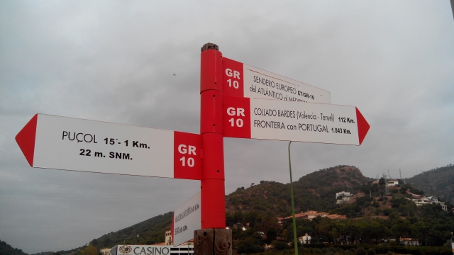
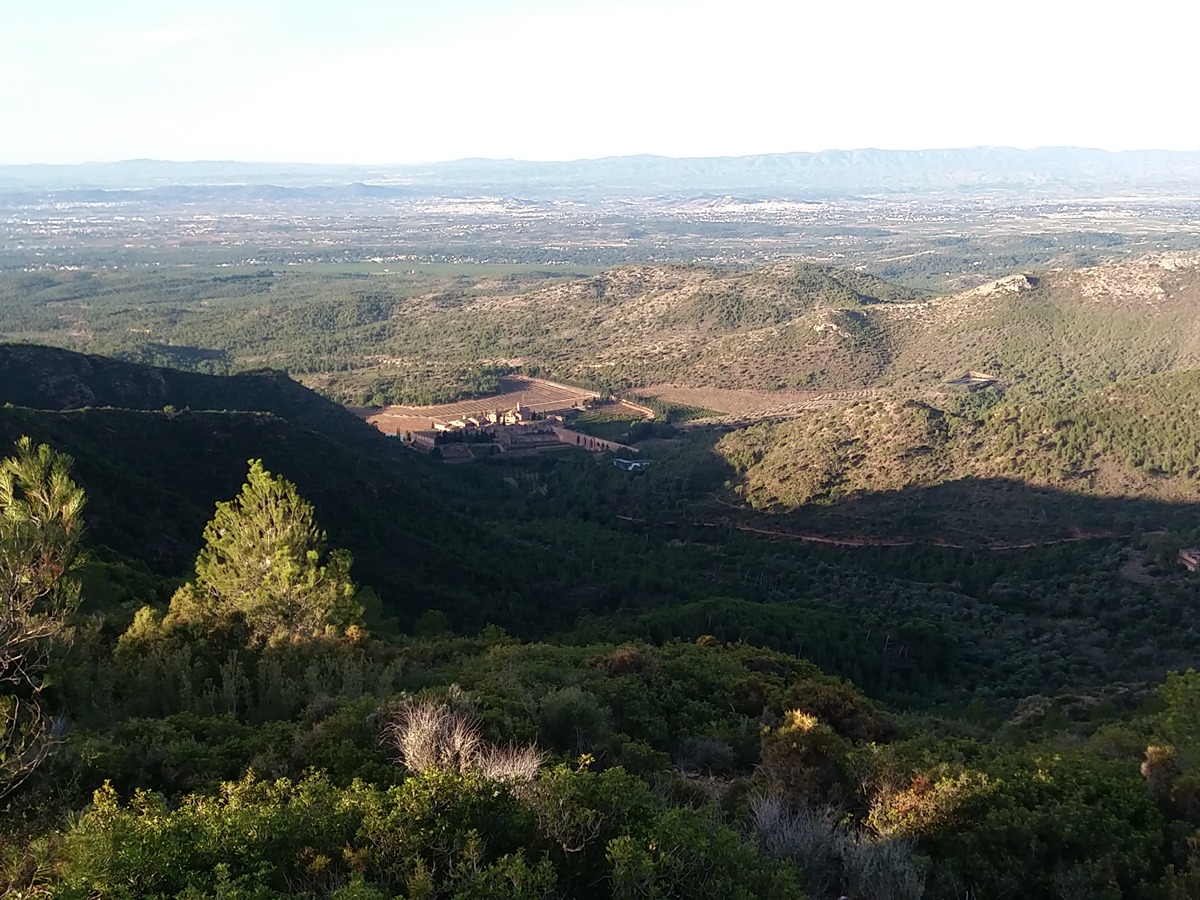
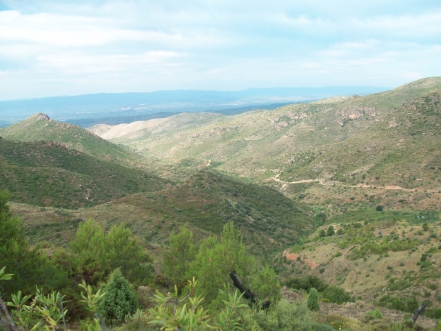
The route starts in Puçol, on the shores of the Mediterranean sea, and goes into the Sierra Calderona mountain range, passing through the towns of Segart, Serra and Gátova. It continues through the last spurs of the Javalambre mountain range. From the town of Andilla it climbs up to the Bardés col, where the path continues through Aragonese lands to Arcos de las Salinas. The total length of this trail throughout Comunitat Valenciana is 112 km (125 km to Abejuela), of which 74 km belong to the province of Valencia and 38 km to the province of Castellón.
Trail:
One way (point-to-point)
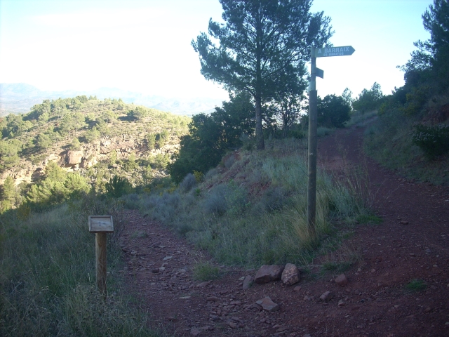
Stages
GR 10 E01 PUÇOL - SEGART
Promoter: Generalitat Valenciana
Certification status: Positive quality control
Etapa número: 1
Reference municipality: Puçol
Length: 12,90 km
Estimated walking time: 04:30:00
Elevation gain: 690 m
Elevation loss: 450 m
(0)
GR 10 E02 SEGART - SERRA
Promoter: Generalitat Valenciana
Certification status: Positive quality control
Etapa número: 2
Reference municipality: Segart
Length: 9,80 km
Estimated walking time: 03:25:00
Elevation gain: 505 m
Elevation loss: 445 m
(0)
GR 10 E03 SERRA - GÁTOVA
Promoter: Generalitat Valenciana
Certification status: Positive quality control
Etapa número: 3
Reference municipality: Serra
Length: 20,70 km
Estimated walking time: 07:00:00
Elevation gain: 965 m
Elevation loss: 705 m
(0)
GR 10 E04 GÁTOVA - CUEVA SANTA
Promoter: Generalitat Valenciana
Certification status: Positive quality control
Etapa número: 4
Reference municipality: Gátova
Length: 19,70 km
Estimated walking time: 06:20:00
Elevation gain: 795 m
Elevation loss: 540 m
(0)
GR 10 E05 CUEVA SANTA - SACAÑET
Promoter: Generalitat Valenciana
Certification status: Positive quality control
Etapa número: 5
Reference municipality: Altura
Length: 13,90 km
Estimated walking time: 04:20:00
Elevation gain: 485 m
Elevation loss: 310 m
(0)
GR 10 E06 SACAÑET - ANDILLA
Promoter: Generalitat Valenciana
Certification status: Positive quality control
Etapa número: 6
Reference municipality: Sacañet
Length: 15,00 km
Estimated walking time: 04:55:00
Elevation gain: 490 m
Elevation loss: 615 m
(0)
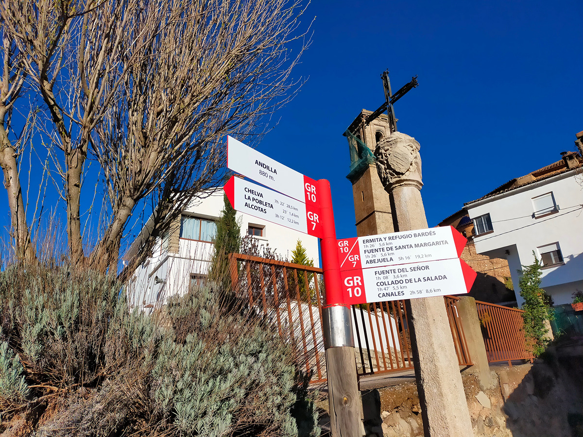
GR 10 E07 ANDILLA - COLLADO BARDÉS
Promoter: Generalitat Valenciana
Certification status: Positive quality control
Etapa número: 7
Reference municipality: Andilla
Length: 6,70 km
Estimated walking time: 02:20:00
Elevation gain: 565 m
Elevation loss: 45 m
(0)
Alternative routes and routes leading to nearby points of interest
GR 10 VARIANTE DE SERRA
Promoter: Generalitat Valenciana
Certification status: Positive quality control
Reference municipality: Serra
Length: 7,30 km
Estimated walking time: 02:25:00
Elevation gain: 425 m
Elevation loss: 90 m
(0)
GR 10 DERIVACIÓN A ESTIVELLA
Promoter: Generalitat Valenciana
Certification status: Positive quality control
Reference municipality: Estivella
Length: 5,30 km
Estimated walking time: 01:40:00
Elevation gain: 15 m
Elevation loss: 420 m
(0)
Other trails connecting with this trail
SL-CV 23 SENDA DE LA TANCÀ
Promoter: Centre Excursionista de Estivella
Certification status: No quality controls
Reference municipality: Estivella
Length: 6,30 km
Estimated walking time: 02:10:00
Elevation gain: 410 m
Elevation loss: 120 m
(2)
SL-CV 129 RUTA DE MARMALÉ
Promoter: Ayuntamiento de Gátova
Certification status: Conditioned quality control
Reference municipality: Gátova
Length: 10,00 km
Estimated walking time: 03:05:00
Elevation gain: 265 m
Elevation loss: 265 m
(1)
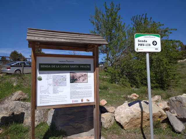
PR-CV 178 SENDA A LA CUEVA SANTA
Promoter: Ayuntamiento de Altura
Certification status: Positive quality control
Reference municipality: Altura
Length: 9,50 km
Estimated walking time: 02:50:00
Elevation gain: 535 m
Elevation loss: 145 m
(0)

PR-CV 369 ESTIVELLA - PENYA ROJA
Promoter: Ayuntamiento de Estivella
Certification status: No quality controls
Reference municipality: Estivella
Length: 21,40 km
Estimated walking time: 07:45:00
Elevation gain: 890 m
Elevation loss: 890 m
(2)
PR-CV 424 BARONÍA DE ANDILLA
Promoter: Ayuntamiento de Andilla
Certification status: No quality controls
Reference municipality: Andilla
Length: 23,10 km
Estimated walking time: 07:40:00
Elevation gain: 900 m
Elevation loss: 900 m
(0)