
GR 10 E02 SEGART - SERRA
Promoter: Generalitat Valenciana
Certification status: Positive quality control
0 reviews
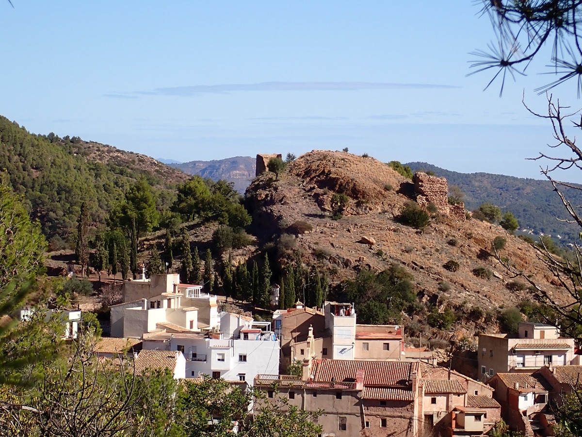
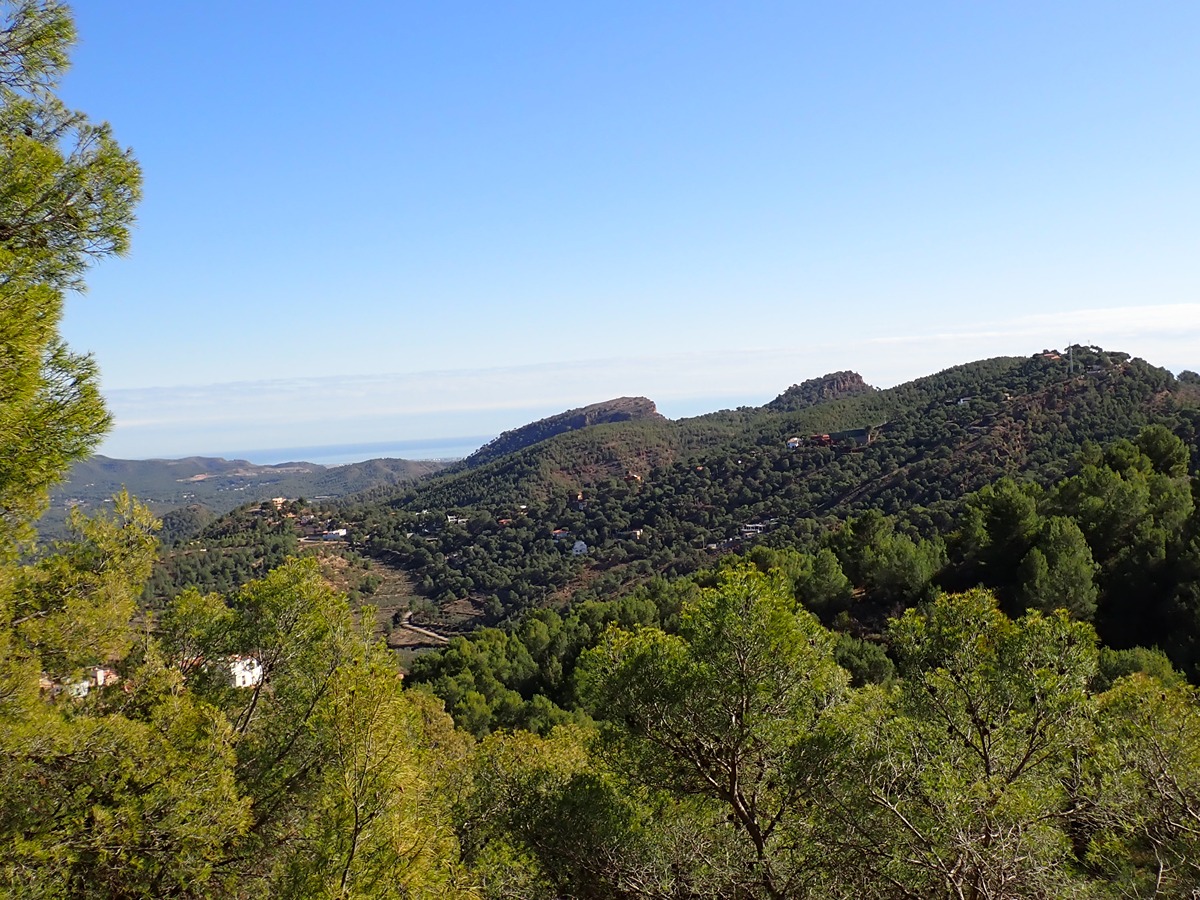
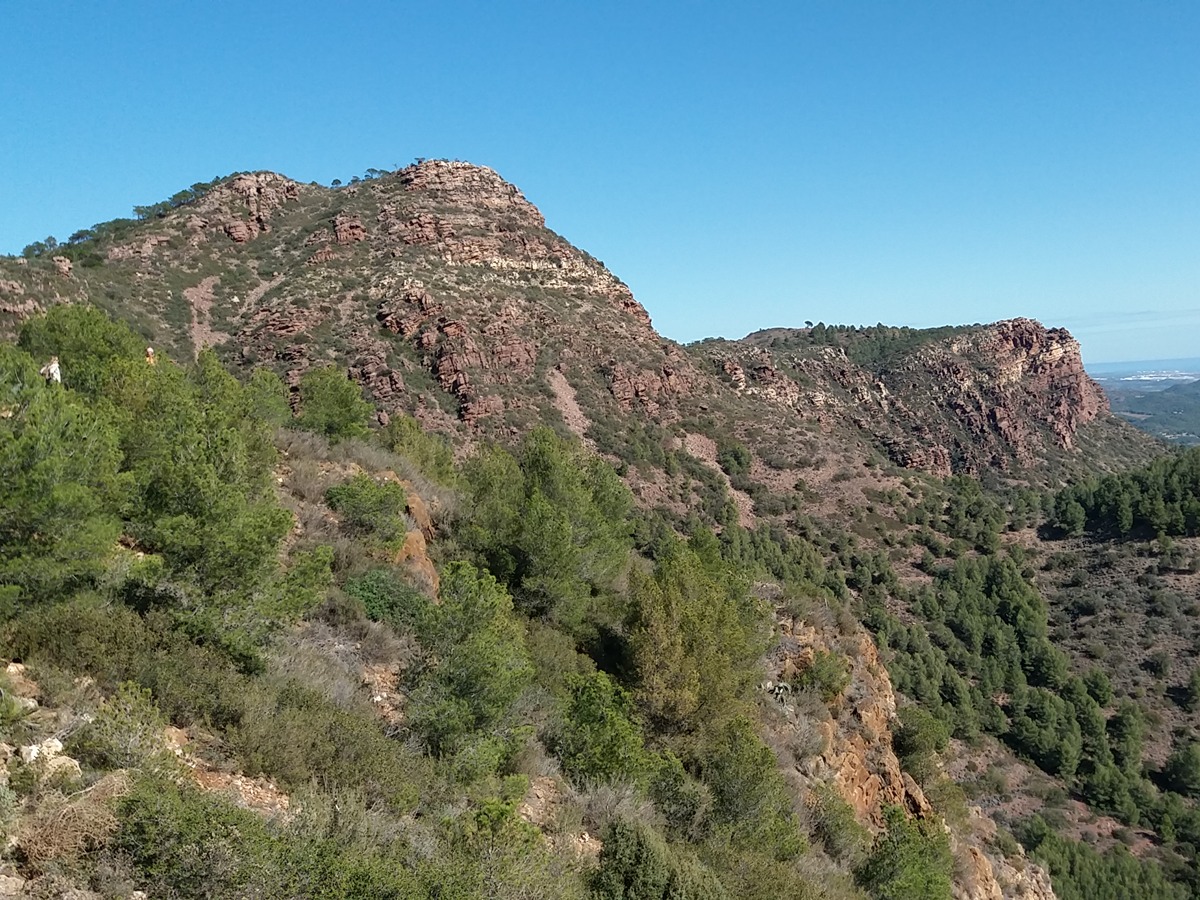
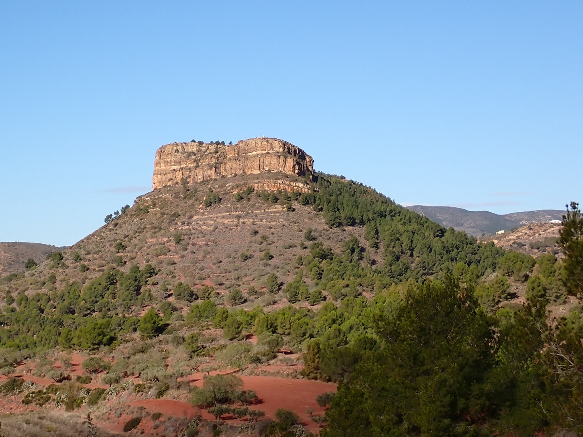
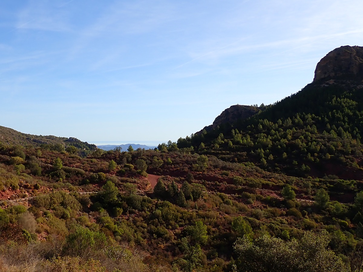
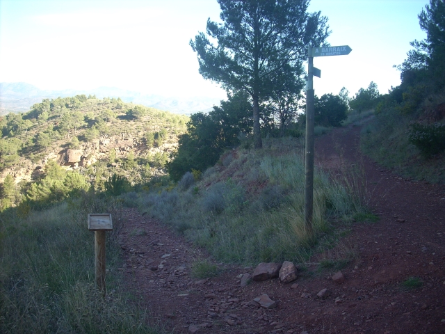
This stage through the Serra Calderona Natural Park offers great panoramic views and slopes with the possibility of going over to the Garbí viewpoint or passing by some of its emblematic springs, such as Barraix or l'Ombria VALENCIA SUMMARY
Trail:
One way (point-to-point)
Main
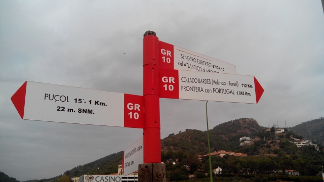
Reference municipality: Puçol
Length: 98,70 km
Estimated walking time: 32:50:00
Elevation gain: 4.495 m
Elevation loss: 3.110 m
(0)
Previos stage
GR 10 E01 PUÇOL - SEGART
Promoter: Generalitat Valenciana
Certification status: Positive quality control
Etapa número: 1
Reference municipality: Puçol
Length: 12,90 km
Estimated walking time: 04:30:00
Elevation gain: 690 m
Elevation loss: 450 m
(0)
Next stage
GR 10 E03 SERRA - GÁTOVA
Promoter: Generalitat Valenciana
Certification status: Positive quality control
Etapa número: 3
Reference municipality: Serra
Length: 20,70 km
Estimated walking time: 07:00:00
Elevation gain: 965 m
Elevation loss: 705 m
(0)
Other trails connecting with this trail
SL-CV 23 SENDA DE LA TANCÀ
Promoter: Centre Excursionista de Estivella
Certification status: No quality controls
Reference municipality: Estivella
Length: 6,30 km
Estimated walking time: 02:10:00
Elevation gain: 410 m
Elevation loss: 120 m
(2)

PR-CV 369 ESTIVELLA - PENYA ROJA
Promoter: Ayuntamiento de Estivella
Certification status: No quality controls
Reference municipality: Estivella
Length: 21,40 km
Estimated walking time: 07:45:00
Elevation gain: 890 m
Elevation loss: 890 m
(2)